Wadi C-3
Anonymous

Entryway A
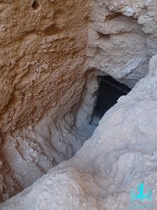
See entire tombA shallow, unprotected and unplastered shaft that narrows towards the bottom. There is an intermediate ledge on the southern wall of the shaft.
About
About
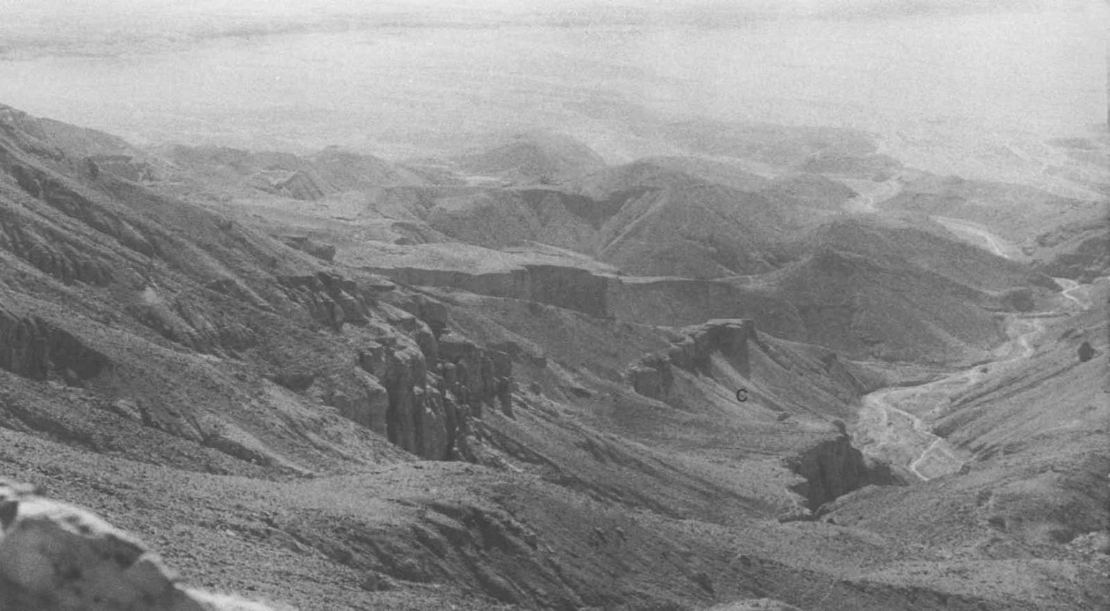
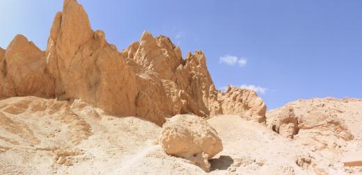
Wadi C-3 is located on the southeastern side of Wadi C on a slope that forms the wadi’s eastern border. It consists of a shallow shaft (A) that narrows downwards. The owner is unknown.
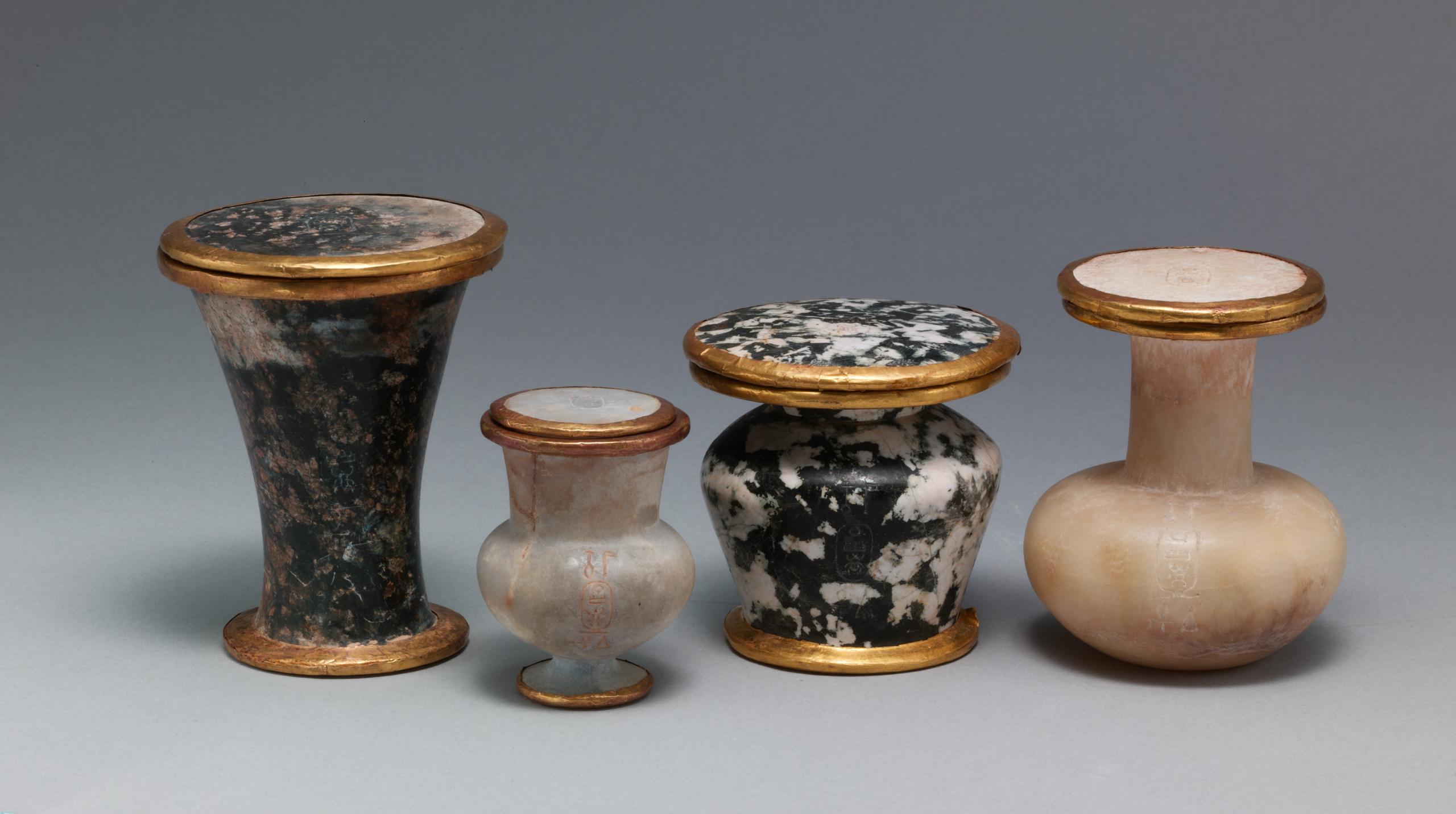
The tomb was first noted by Howard Carter during his survey of the Western Wadis in 1916-1917. He observed that the tomb was open and had been plundered. Close to the shaft entrance, Carter discovered a very shallow mimic burial that contained rush-matting holding clay Osiride figures wrapped in linen and lying upon a bed stuffed with barley. The current location of these figures is unknown.
Elizabeth Thomas surveyed Wadi C-3 in 1959-60, but could not enter the shaft. The Theban Mapping Project surveyed the tomb in 1982, followed by the joint mission of the New Kingdom Research Foundation and the Cambridge Expedition to the Valley of the Kings in 2013-2014. It has been dated to the 18th Dynasty due to its close proximity to the cliff tomb ascribed to Neferure (Wadi C-1).
Site History
The tomb was constructed in the 18th Dynasty and plundered at a later stage.
Dating
This site was used during the following period(s):
Exploration
Conservation
Site Condition
The tomb is currently open and is in danger of being filled by debris brought down the Wadi during floods.

Articles
Tomb Numbering Systems in the Valley of the Queens and the Western Wadis
Latest Discovery in Wadi C (2022)
Geography and Geology of the Valley of the Queens and Western Wadis
Bibliography
Carter, Howard. A Tomb prepared from Queen Hatshepsut and other Recent Discoveries at Thebes. The Journal of Egyptian Archaeology, 4 no. 2/3 (1917): 107-118.
Lilyquist, Christine with contributions by James E. Hoch and A.J. Peden. The Tomb of Three Foreign Wives of Tuthmosis III. New York: The Metropolitan Museum of Art, 2003.
Litherland, Piers. The western wadis of the Theban necropolis: a re-examination of the western wadis of the Theban necropolis by the joint-mission of the Cambridge Expedition to the Valley of the Kings and the New Kingdom Research Foundation, 2013-2014. London: New Kingdom Research Foundation, 2014.
Thomas, Elizabeth. The Royal Necropoleis of Thebes. Princeton: privately printed, 1966.