QV 32
Anonymous
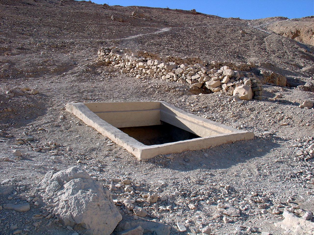
Entryway A
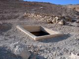
See entire tombThe shaft entrance has a modern masonry surround coated in cement plaster spanned by a metal grill.
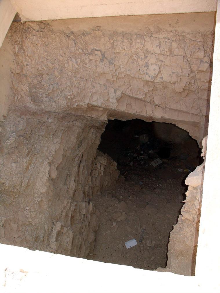
Chamber B
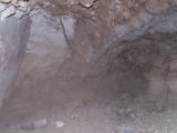
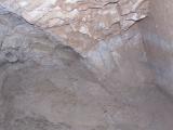
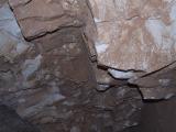
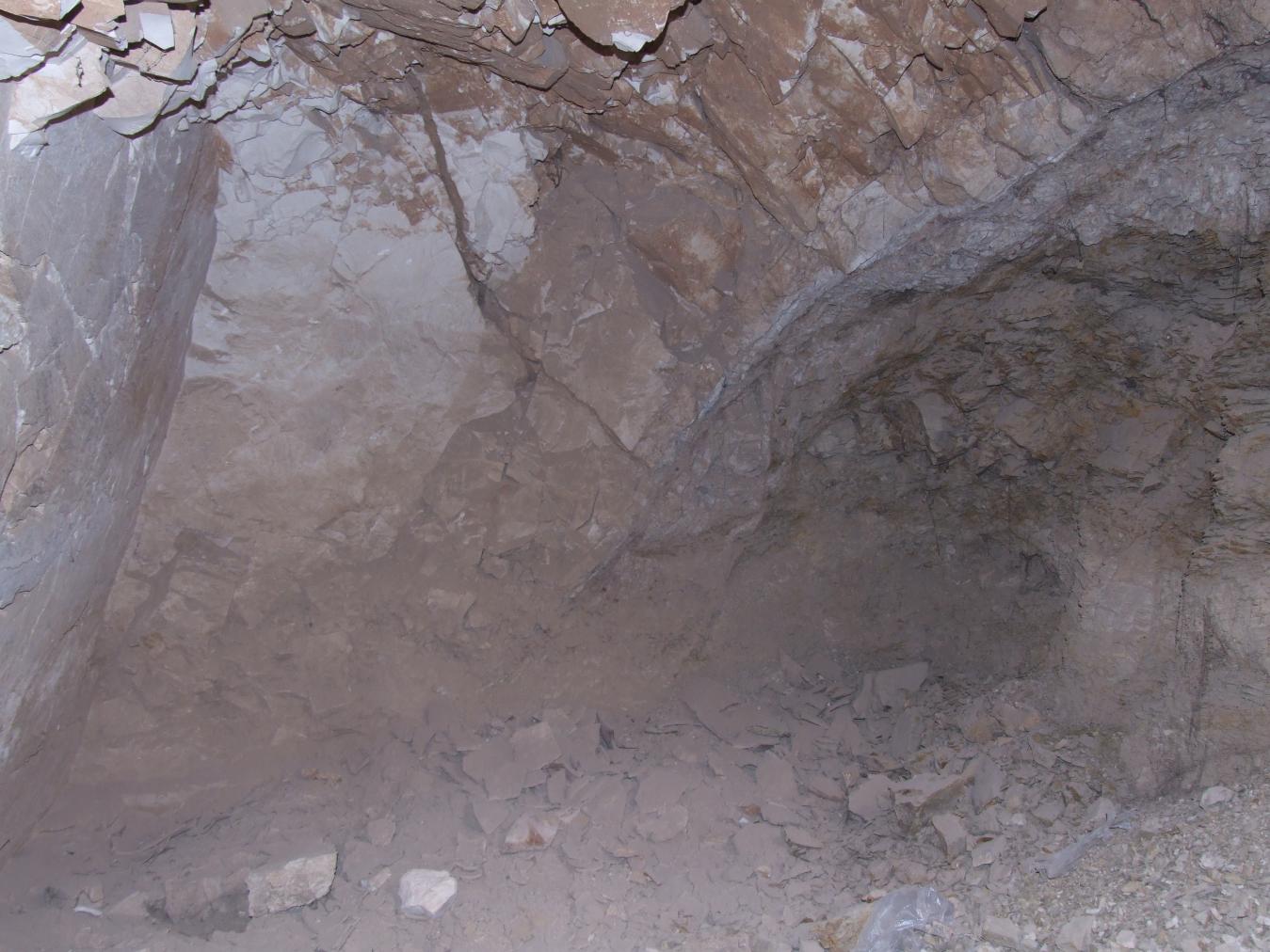
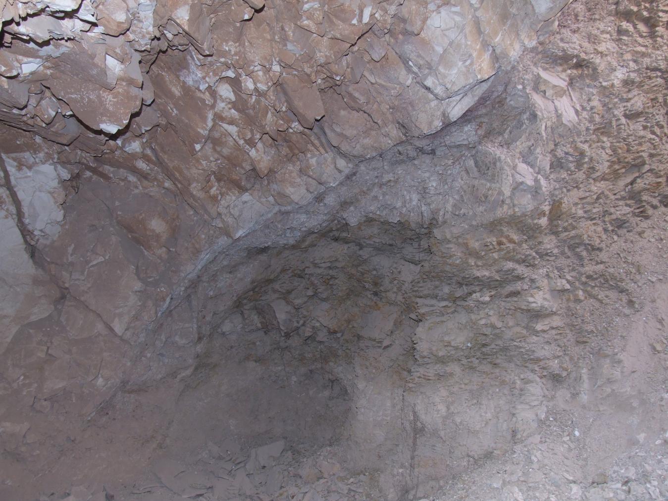
See entire tombA large, roughly cut rectangular undecorated chamber that is situated perpendicular to the shaft (A). The chamber contained some pottery and suffered flood damage, though it remains in stable condition.
About
About
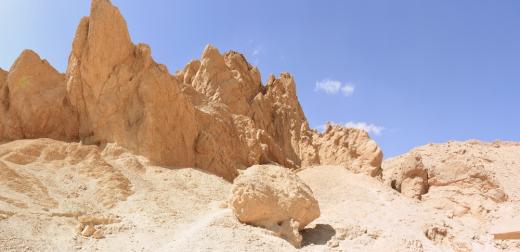
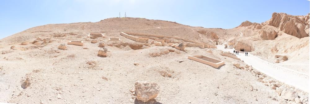
QV 32 has a short shaft (A) leading to a single chamber (B). The tomb is on the upper portion of the slope on the south side of the main valley, between tombs QV 31 and QV 33. The shaft entrance has a modern masonry surround coated in cement plaster spanned by a metal grill.
The earliest modern record of QV 32 is from Heinrich Brugsch, who numbered the tomb 8. Elizabeth Thomas (9159-60) had no access to the tomb, but includes it in her work and suggests it may be of great interest given the tombs around it. The Franco-Egyptian Mission cleared out the tomb in 1985, although they did not find any significant archaeological material.
Site History
The tomb was constructed in the 18th Dynasty.
Dating
This site was used during the following period(s):
Exploration
Conservation
Site Condition
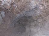
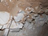
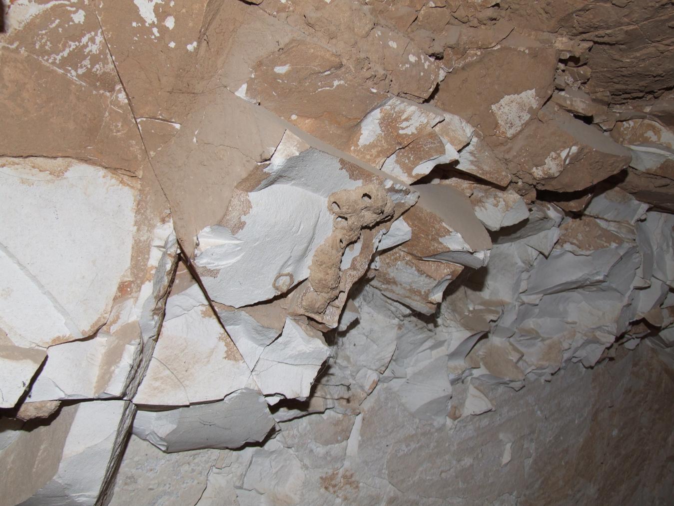
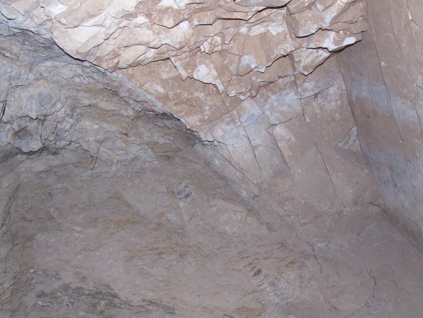
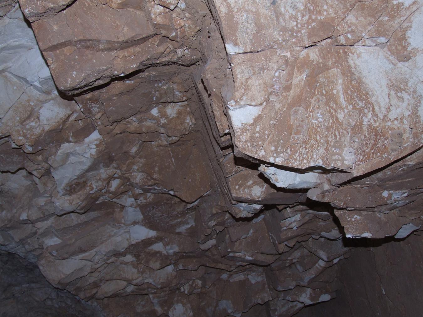
According to the GCI-SCA, the tomb is in stable condition. Fractures occur above the entrance and vertical fractures run down the rear wall of the chamber. A large amount of debris currently lies in the tomb. Mud and wasp nests are present on the rock of the ceiling. One bat was observed by the GCI-SCA assessment team in January 2008. Dried, cracked silt and the relatively large volume of debris within the tomb and mud caked on the ceiling show unquestionable signs of previous flooding. The expansion of the shale when exposed to water has led to further collapse.



Articles
Tomb Numbering Systems in the Valley of the Queens and the Western Wadis
Geography and Geology of the Valley of the Queens and Western Wadis
Bibliography
Brugsch, Heinrich Karl. Reiseberichte aus Aegypten. Leipzig: F.A. Brockhaus, 1855.
Demas, Martha and Neville Agnew (eds). Valley of the Queens. Assessment Report. Los Angeles: The Getty Conservation Institute, 2012, 2016. Two vols.
Leblanc, Christian. Ta set nefrou: une nécropole de Thèbes-ouest et son histoire, 1: géographie- toponymie: historique de l'exploration scientifique du site. Cairo: Nubar Printing House, 1989.
Thomas, Elizabeth. The Royal Necropoleis of Thebes. Princeton: privately printed, 1966.


