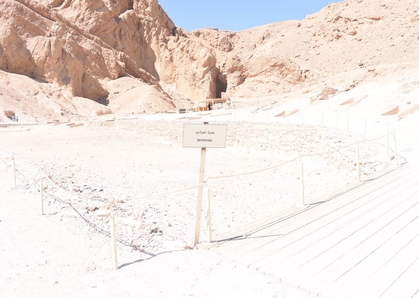
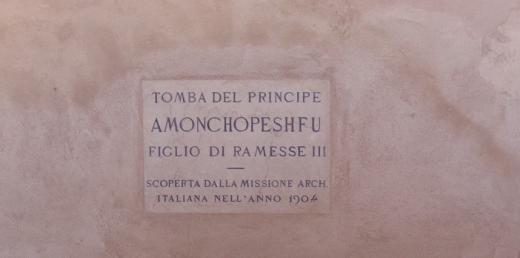
QV 64
Anonymous*
About
About
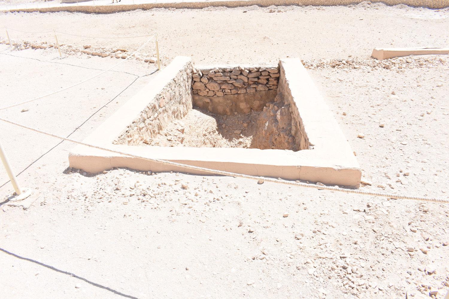
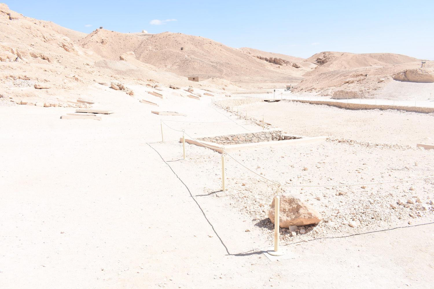
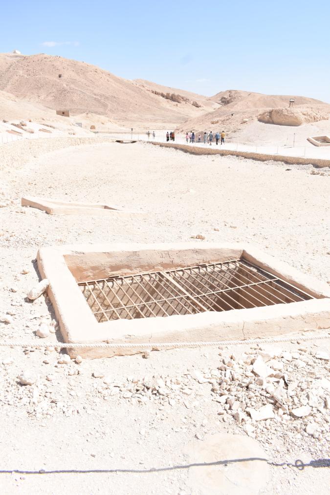
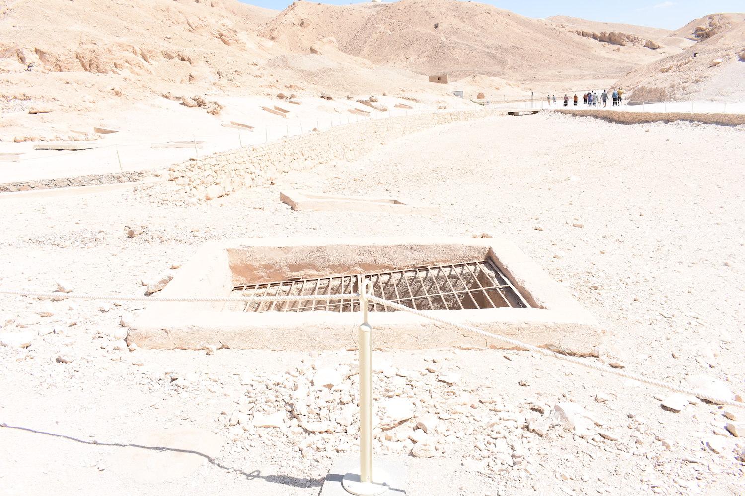
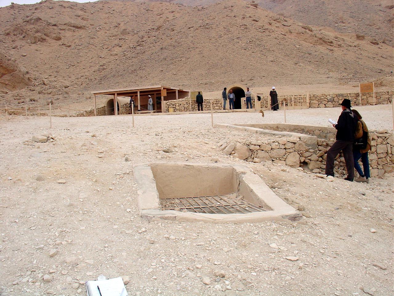
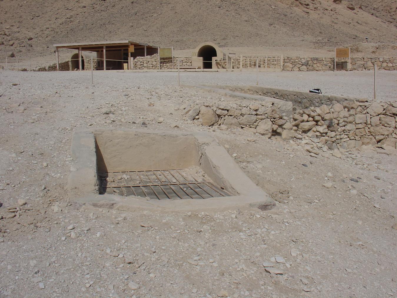
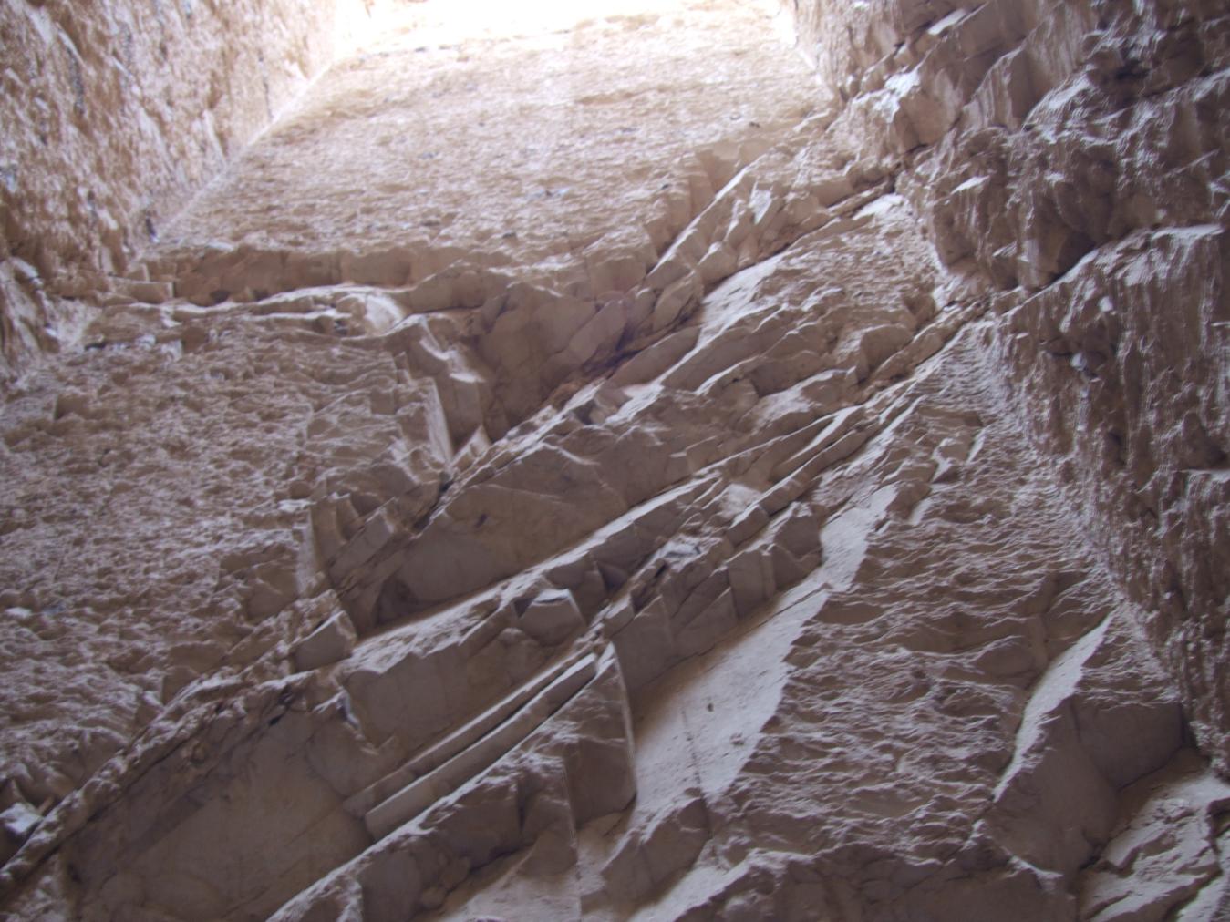
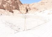
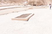
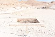
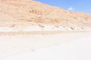
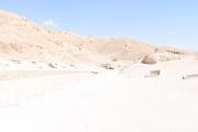
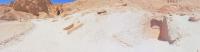
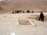
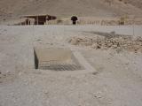
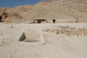
QV 64 is a single-chambered shaft tomb on the north side of the main Wadi, south of QV 66. The shaft is deep, at approximately 6.5 m, and enters the southwest end of a rectangular chamber approximately 9m long. The entrance to the shaft has a modern cemented brick surround, spanned by a metal grill and mesh.
As with the other shaft tombs in this area, Elizabeth Thomas noted that this tomb was in pristine condition at the time of her visit. The tomb was last cleared by the Franco-Egyptian team in 1986 and has been dated to the 18th Dynasty. There is no evidence of reuse.
Noteworthy features:
The shaft of QV 64 is deep, at approximately 6.5 m, and enters the southwest end of a large chamber that is approximately 9m long.
Site History
The tomb was constructed in the 18th Dynasty.
Dating
This site was used during the following period(s):
Exploration
Conservation
Site Condition
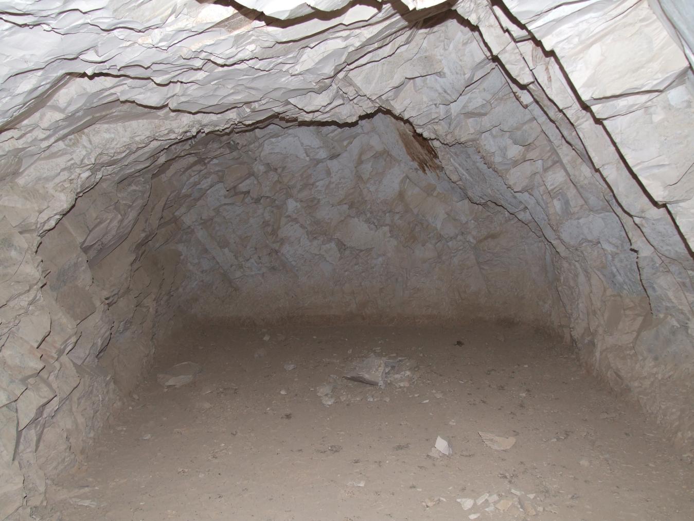
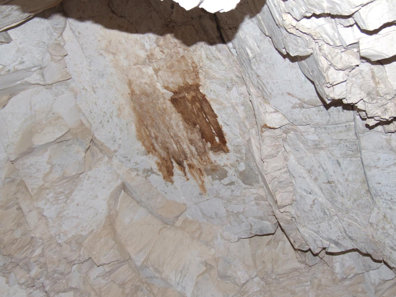
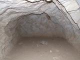
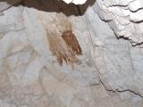
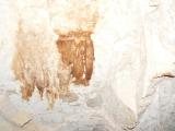
According to the GCI-SCA, the rock of QV 64 is fractured and shows localized loss. Rock loss seems to be occurring along joint planes, leaving clean smooth surfaces after rock fall. Some fallen rock is dispersed about the tomb and lies atop cracked mud. A large area of brown staining is present on the wall in the rear of the tomb and a horizontal brown line is present at the base of the walls, most likely "high tide" marks from previous floods. Cracked mud carpets the floor of the tomb. Evidence of biological activity includes silverfish, mud wasps' nests, and staining (possibly from bats). Cracked mud and the horizontal stain on the walls are signs of flooding, which Christian Leblanc witnessed in this tomb in 1994. This flooding led to substantial rock loss, such that the tomb is no longer in the pristine condition observed by Thomas in 1966.


Articles
Tomb Numbering Systems in the Valley of the Queens and the Western Wadis
Geography and Geology of the Valley of the Queens and Western Wadis
Bibliography
CNRS mission report: Centre national de la recherche scientifique (France). Rapport d'activité 1987-1988 URA no. 1064, 1987-1988.
Demas, Martha and Neville Agnew (eds). Valley of the Queens. Assessment Report. Los Angeles: The Getty Conservation Institute, 2012, 2016. Two vols.
Thomas, Elizabeth. The Royal Necropoleis of Thebes. Princeton: privately printed, 1966.