QV 61
Anonymous

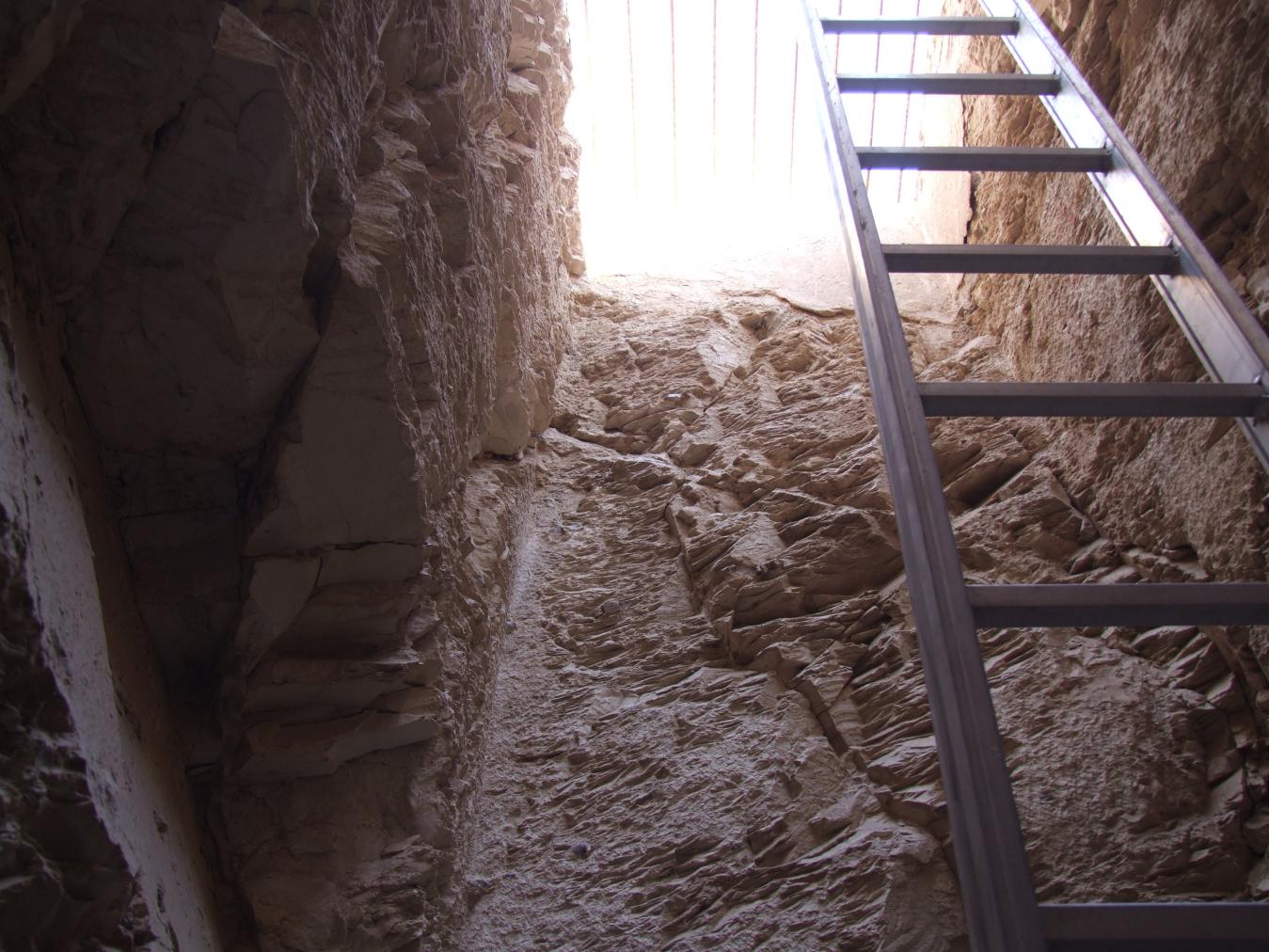
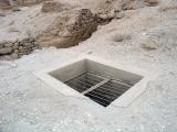
Entryway A
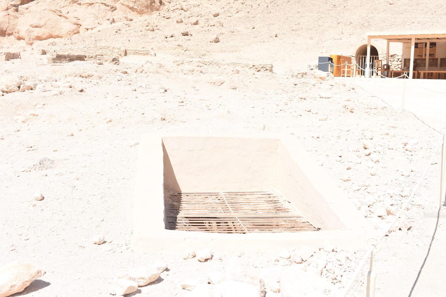
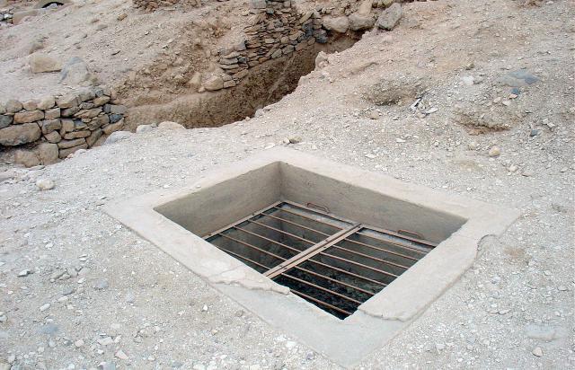
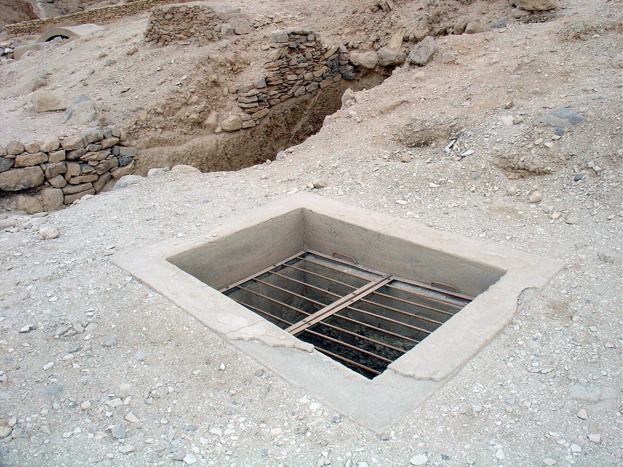
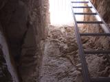
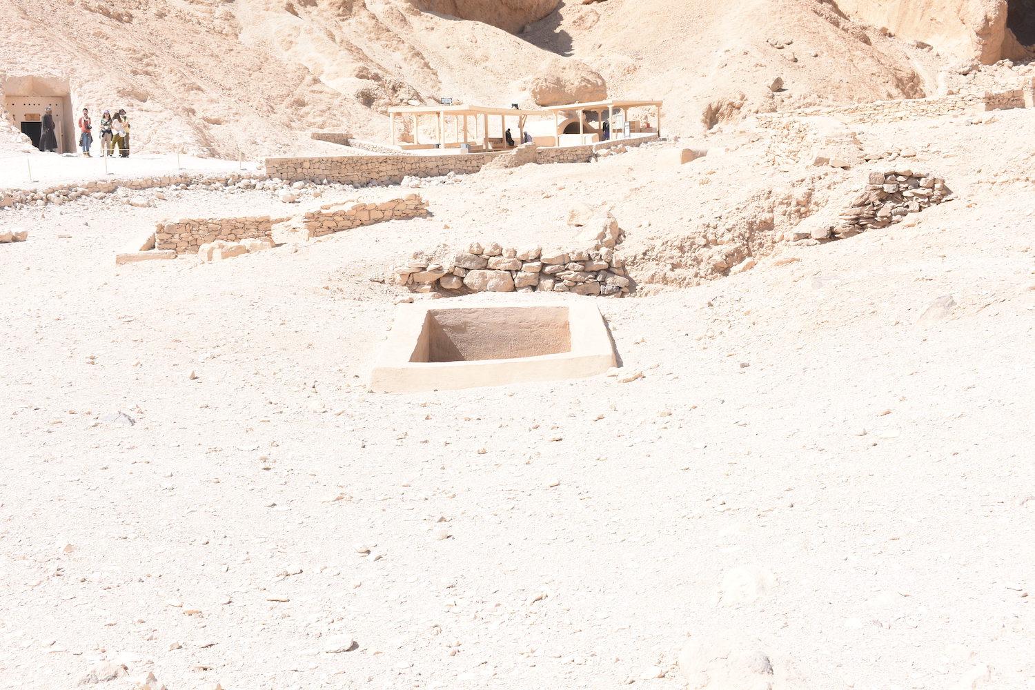
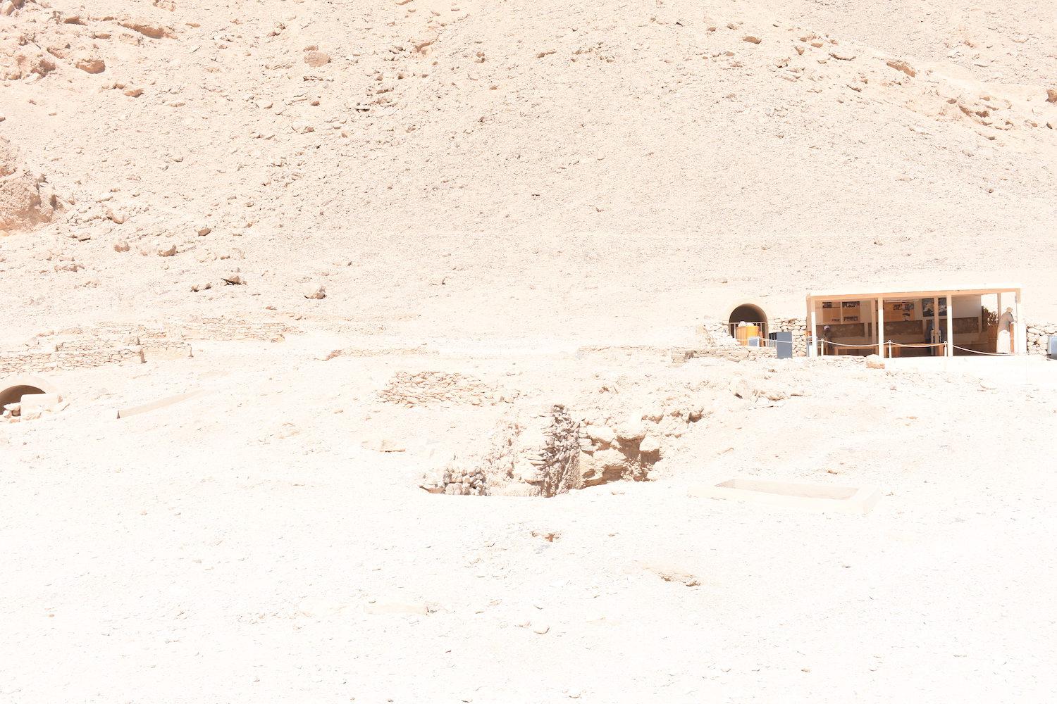
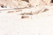
See entire tombThe shaft entrance has a modern built surround with cement plaster and a metal grill with no mesh.
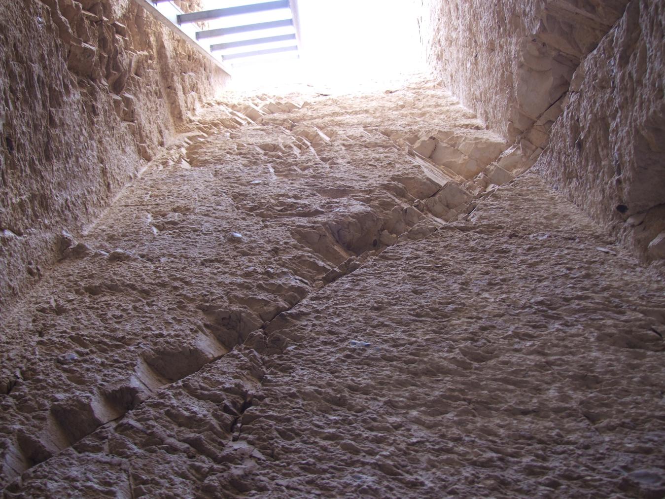
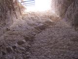
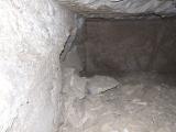
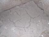
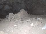
Chamber B
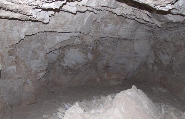
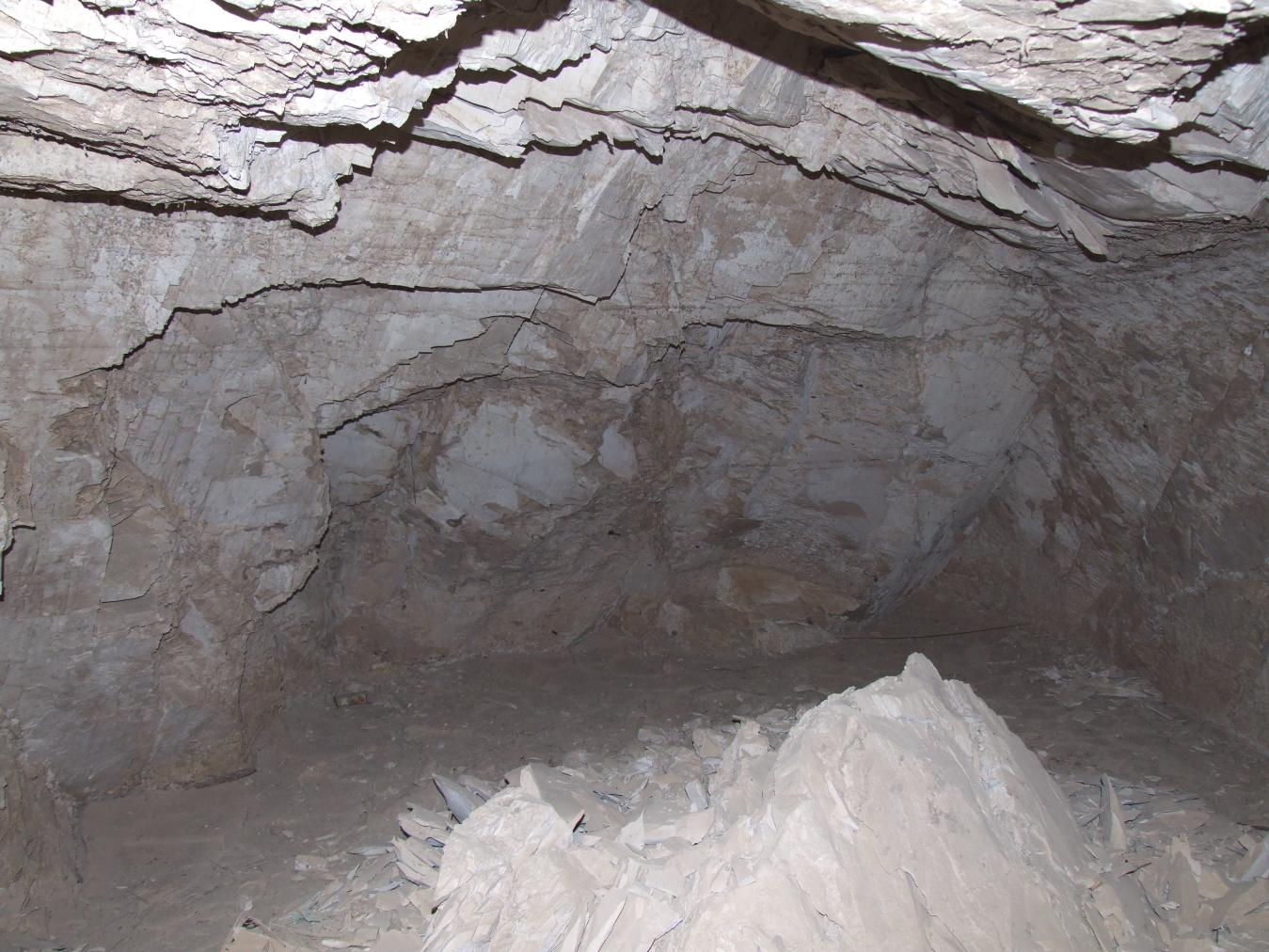
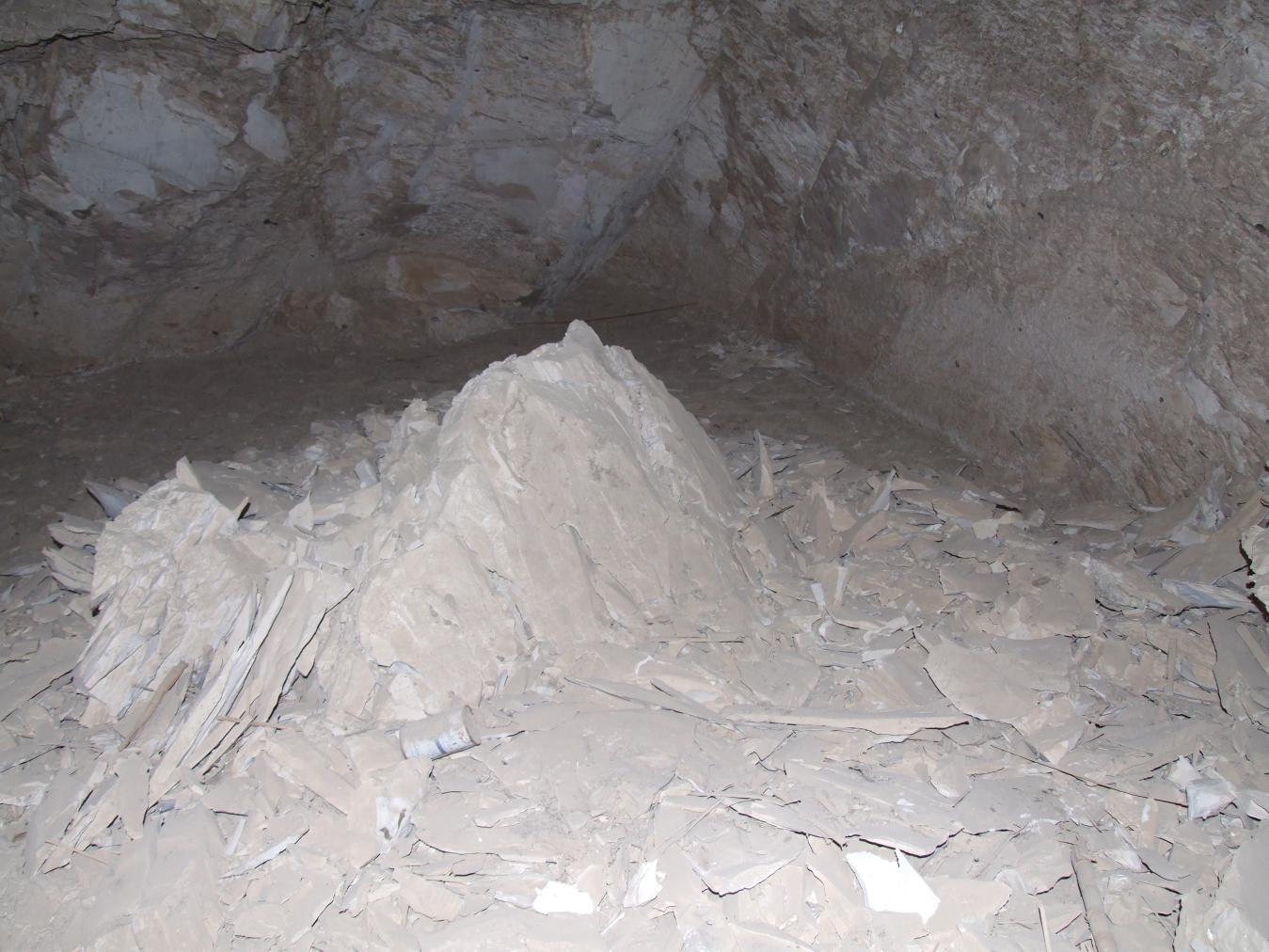
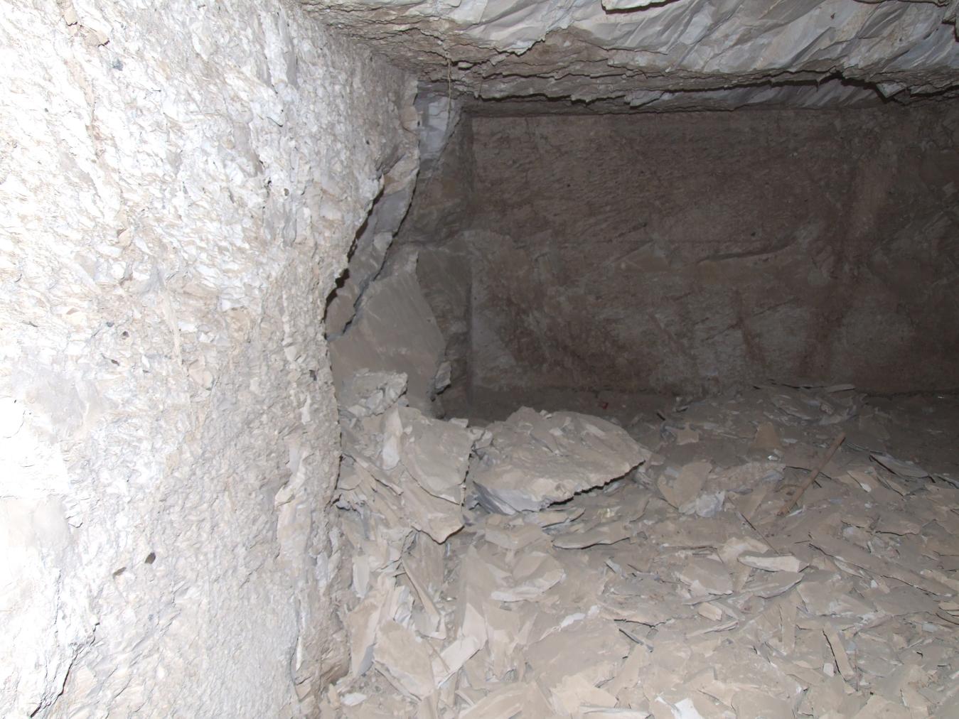
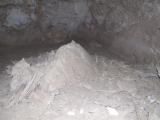
See entire tombLarge, well-cut rectangular undecorated chamber situated perpendicular to the shaft (A). However, significant flood damage left a thick layer of dried mud on the floor.


About
About
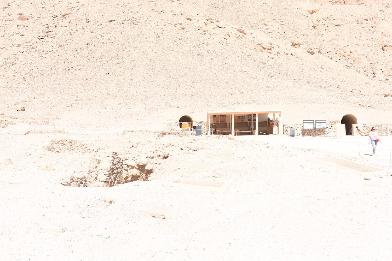
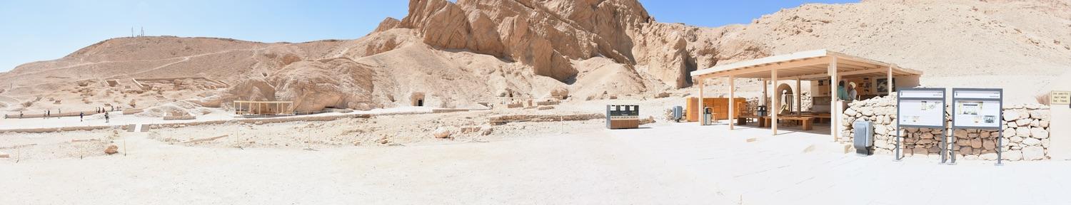
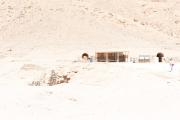
QV 61 is a shaft tomb located on the north side of the main Wadi, adjacent to the entrance Ramp of QV 60. The pit entrance (A) has a modern built surround with cement plaster and a metal grill with no mesh and leads into a single chamber (B). The owner of the tomb is unknown.
Elizabeth Thomas recorded that at the time of her visit, the tomb was in pristine condition, "well cut in excellent rock with walls and ceiling as fresh as if just completed." The Franco-Egyptian team cleared the tomb rapidly in 1971 and dated to the 18th Dynasty. One individual and a modest pottery assemblage were discovered in the tomb.
Site History
The tomb was constructed in the 18th Dynasty and there is no evidence of reuse.
Dating
This site was used during the following period(s):
Exploration
Conservation
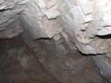
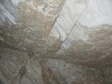
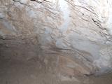
Site Condition
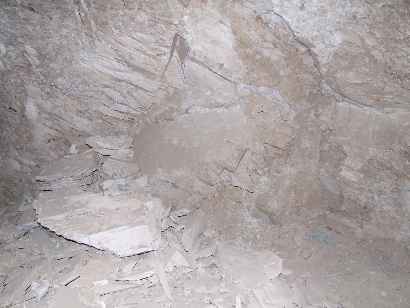
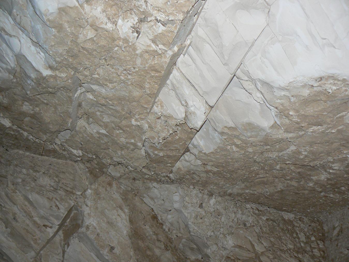
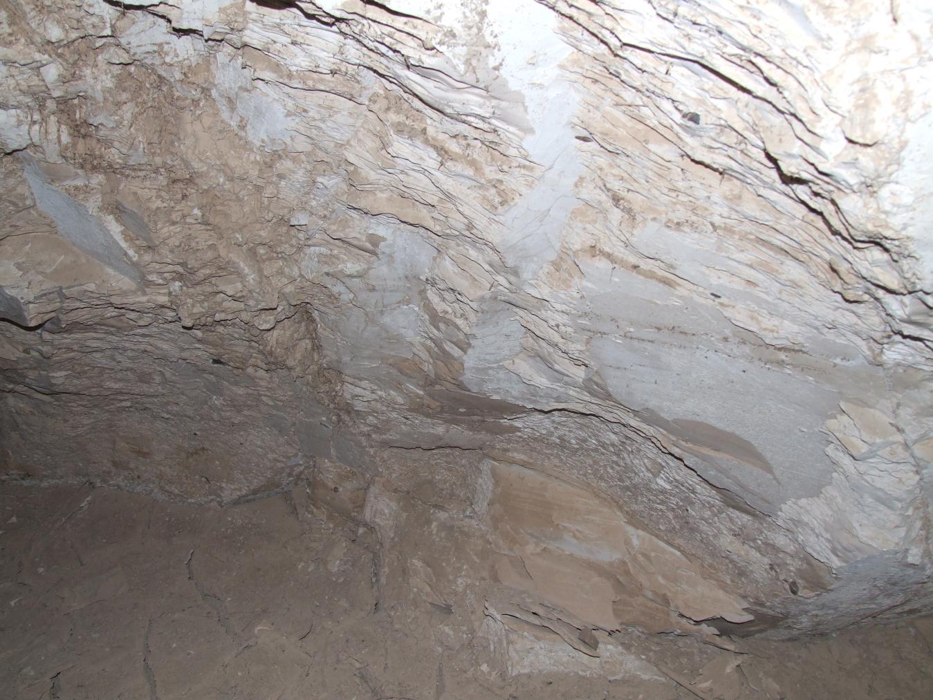
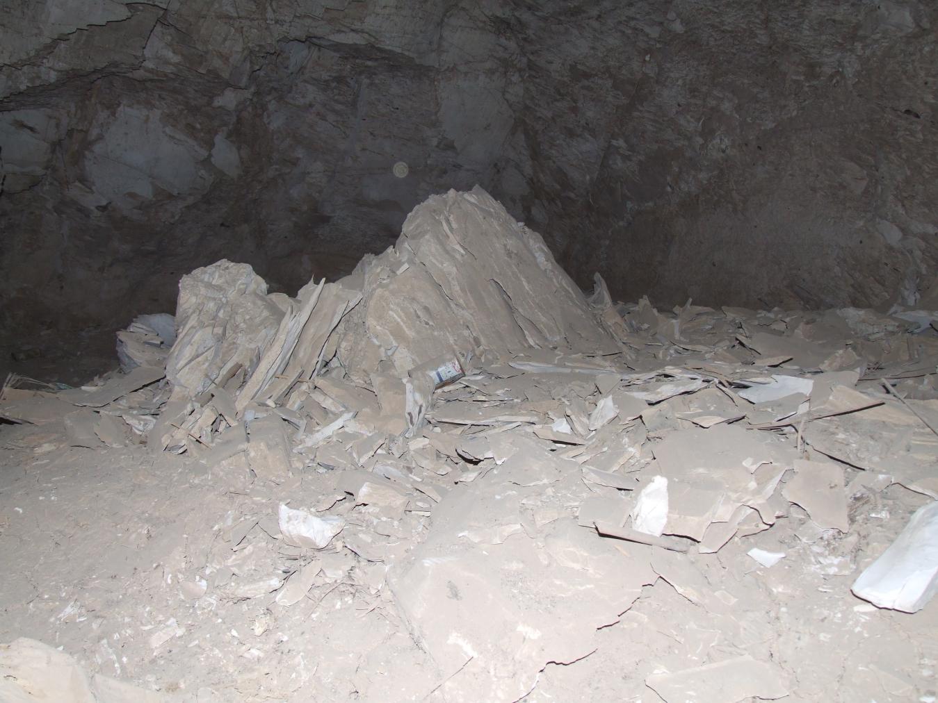
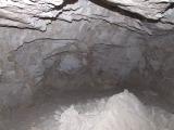
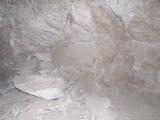
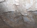
The assessment by the GCI-SCA team in January 2008 revealed a tomb in very different condition from that described by Elizabeth Thomas in 1966. Substantial losses were evident in the ceiling and walls of the single chamber. Open fractures, including one that runs through the shaft, were observed with adjacent areas of rock loss and a large pile of rock fallen from the ceiling in the middle of the chamber. A thick layer of cracked mud was seen on the floor from the 1994 flood, as confirmed by Christian Leblanc. Silt or mud adheres to some ceiling surfaces, indicative of the severity of flooding. Evidence of biological activity includes staining (possibly due to bats) and insect nests. The entry of flood waters and seepage into the rock may be the single most important factor of damage in this tomb. The description of Elizabeth Thomas suggests that rock fragility and damage have occurred within the past 40 years, further pointing to the 1994 flood as a major cause of the deterioration of the tomb rock. There is additional rock loss evident on top of the cracked mud. However, some of the fallen rock lies embedded in the dried mud, making it unclear if rock fall occurred long before flooding or while the mud was still wet.


Articles
Tomb Numbering Systems in the Valley of the Queens and the Western Wadis
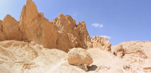
Geography and Geology of the Valley of the Queens and Western Wadis
Bibliography
CNRS mission report: Centre national de la recherche scientifique (France). Rapport d'activité 1987-1988 URA no. 1064, 1987-1988.
Demas, Martha and Neville Agnew (eds). Valley of the Queens. Assessment Report. Los Angeles: The Getty Conservation Institute, 2012, 2016. Two vols.
Leblanc, Christian. Ta set nefrou: une nécropole de Thèbes-ouest et son histoire, 1: géographie- toponymie: historique de l'exploration scientifique du site. Cairo: Nubar Printing House, 1989.
Thomas, Elizabeth. The Royal Necropoleis of Thebes. Princeton: privately printed, 1966.