QV 21
Anonymous

Entryway A
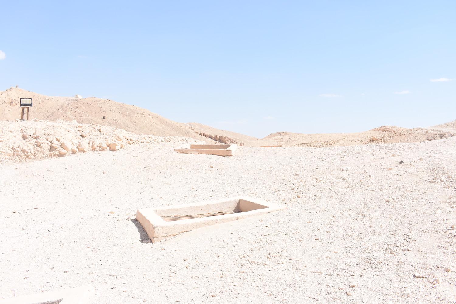
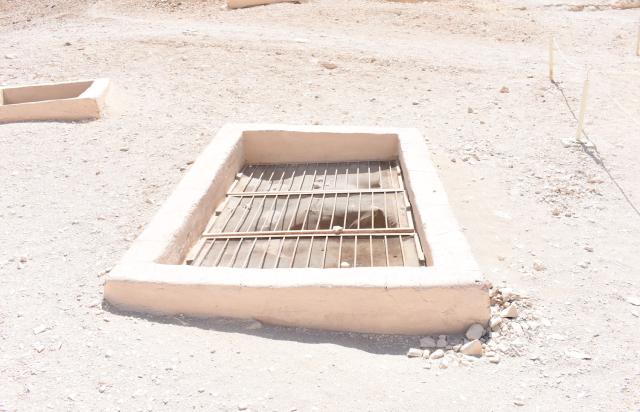
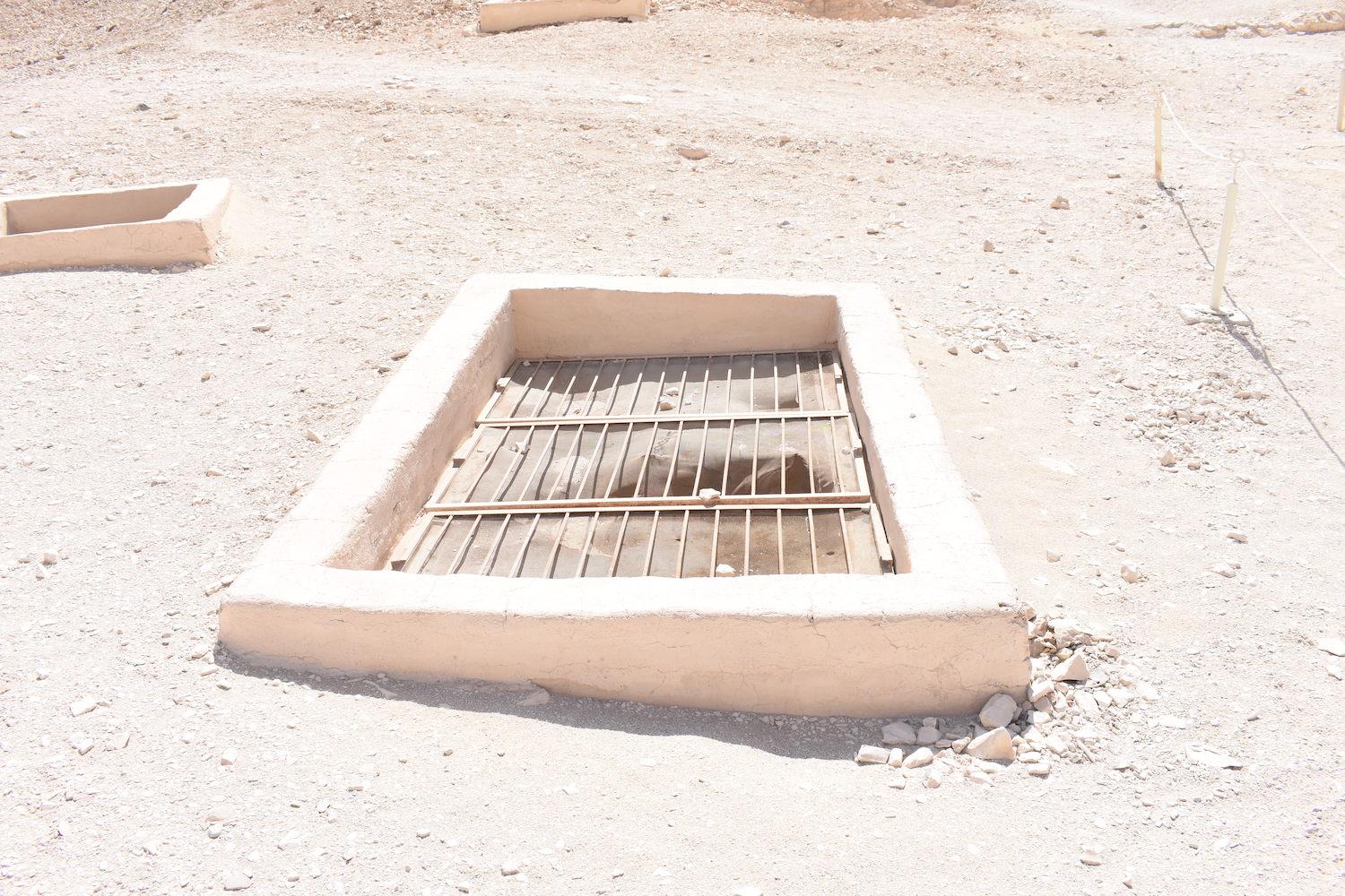
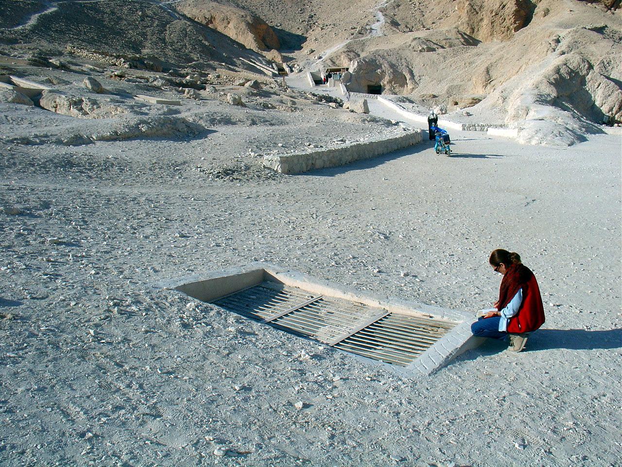
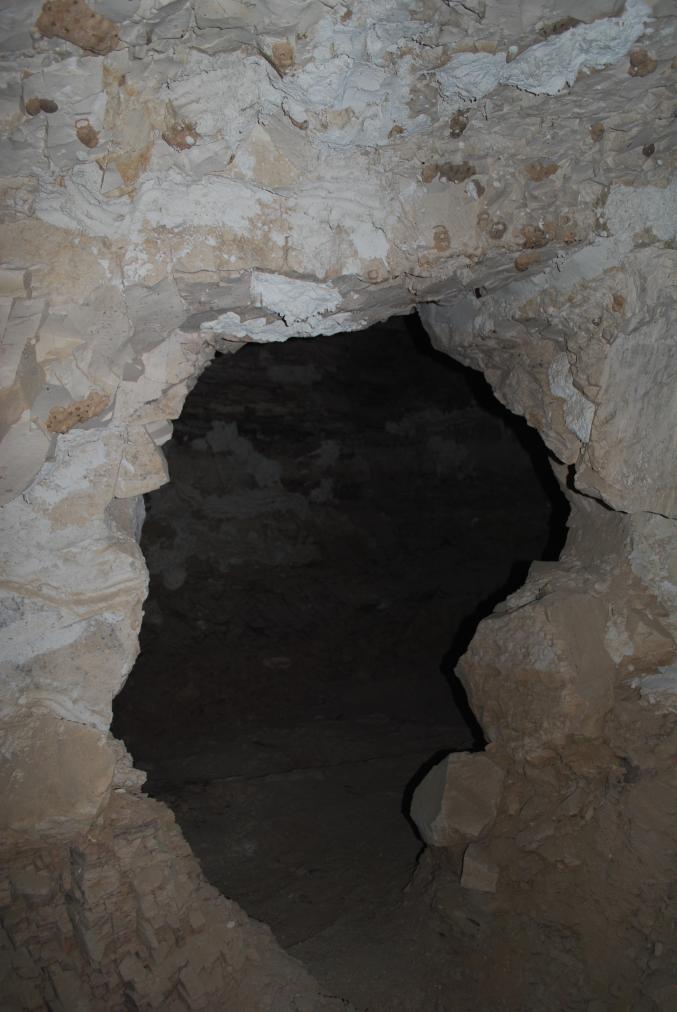
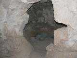
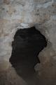
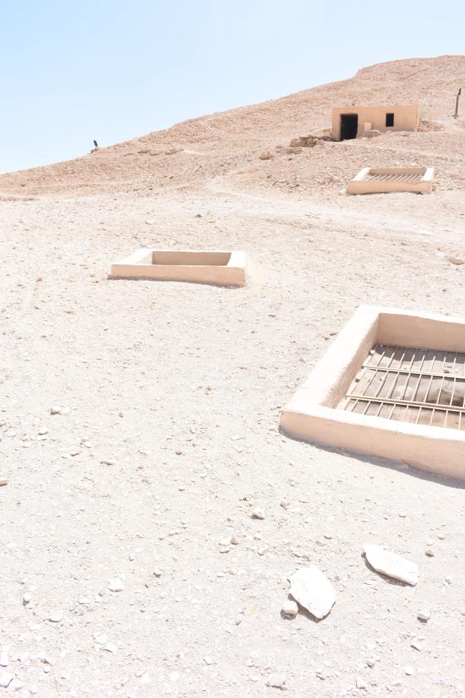
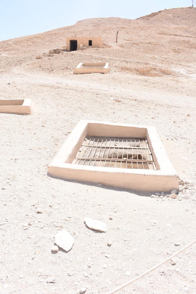
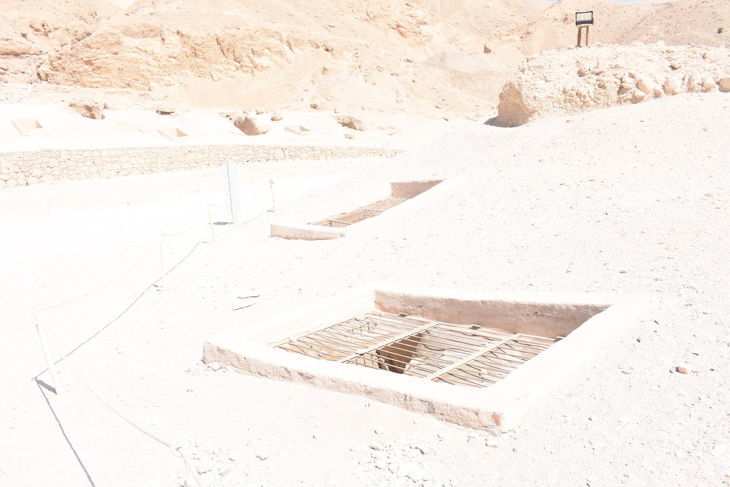
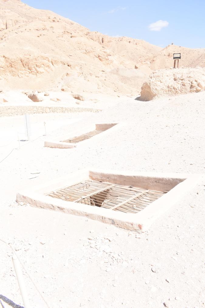
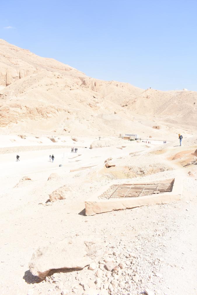
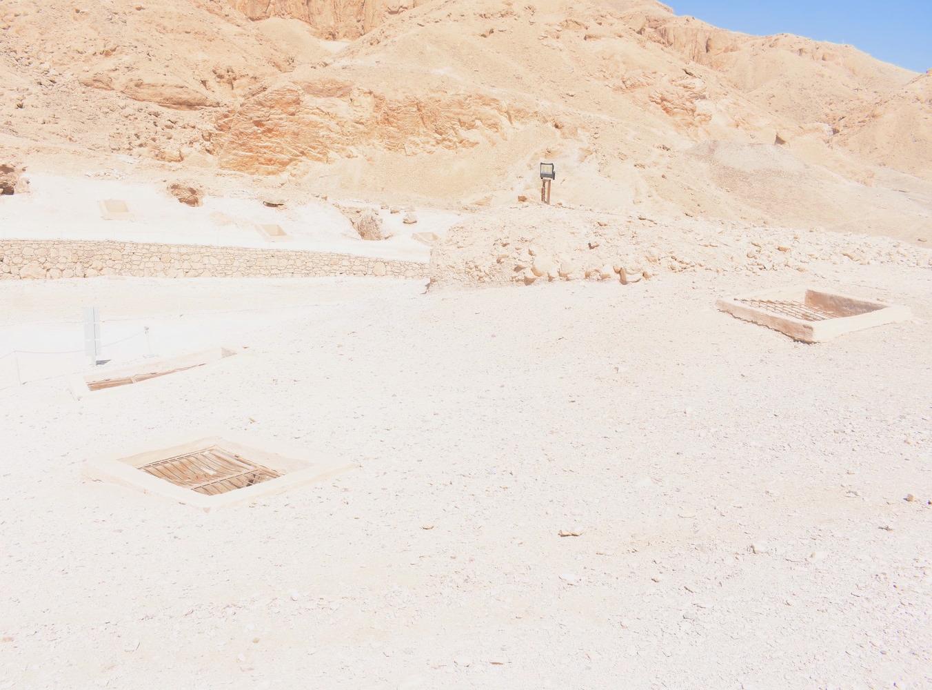
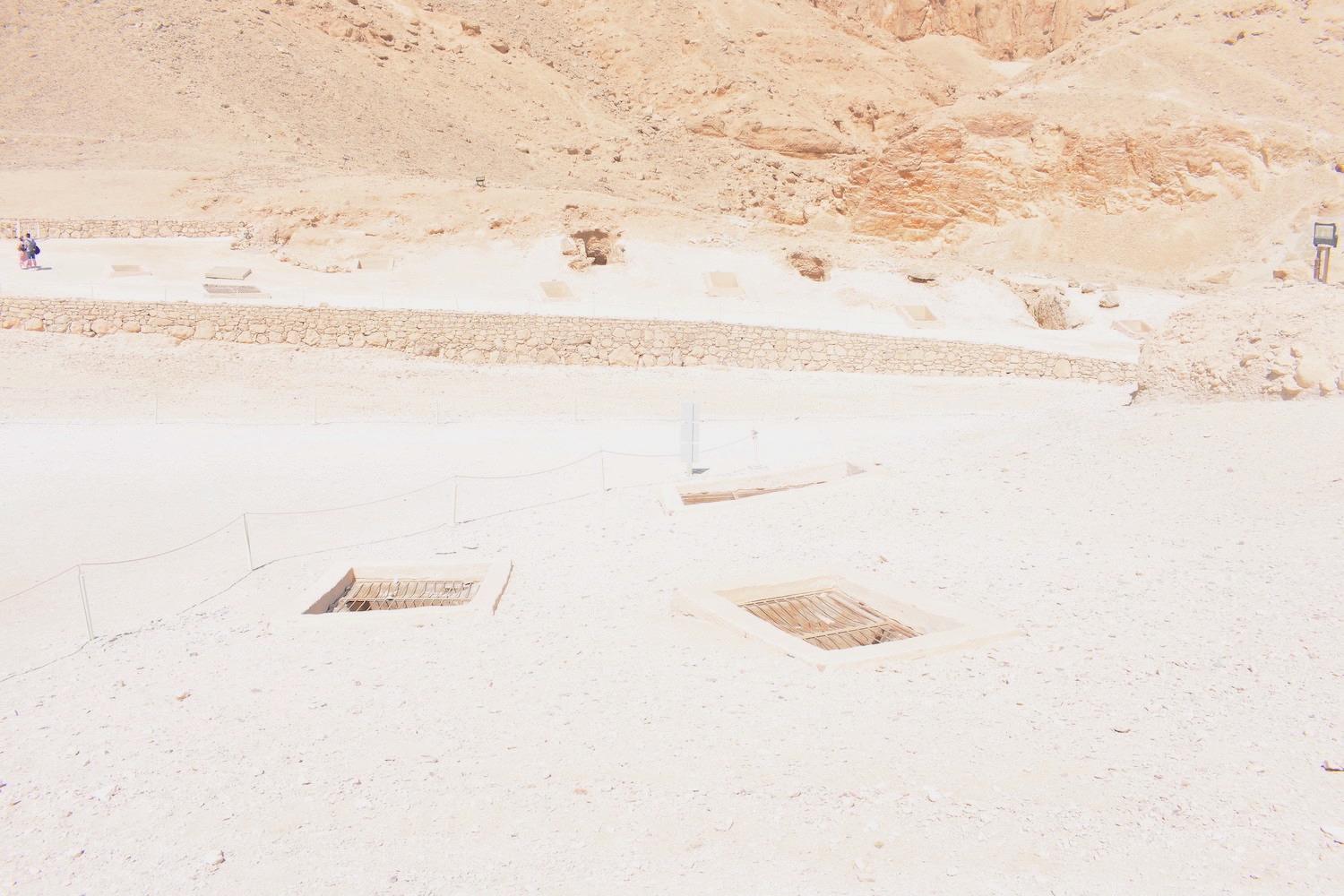
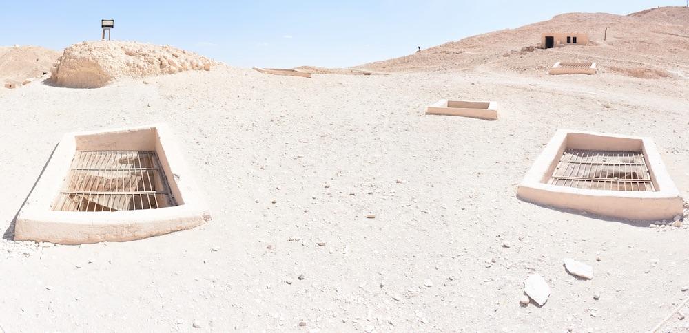
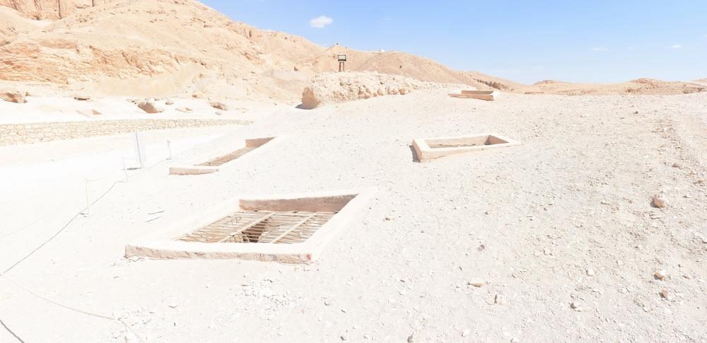
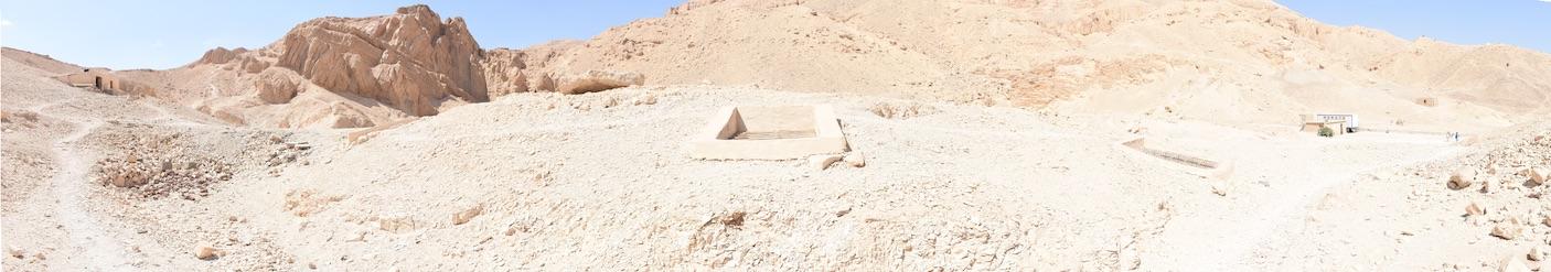
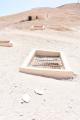
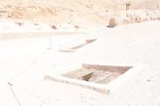
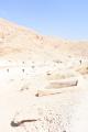
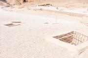
See entire tombThe well-cut large shaft has a cement-coated masonry surround at its opening as well as a metal grill with mesh.

Chamber B
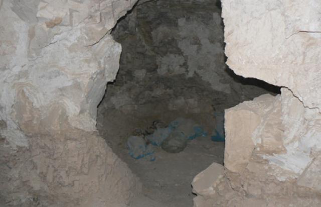
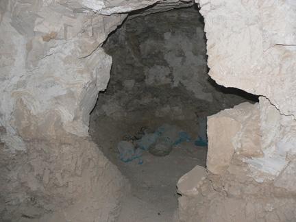
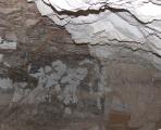
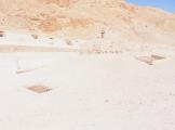
See entire tombA large, well-cut, rectangular undecorated chamber situated perpendicular to the tomb shaft (A).

Chamber C
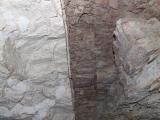
See entire tombA well-cut rectangular undecorated chamber, situated somewhat parallel to chamber B on a slightly different axis, and perpendicular to the shaft (A), with some broken and uneven stone. There is also evidence of ceiling collapse in this chamber.
About
About
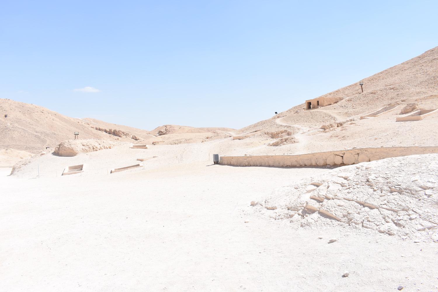
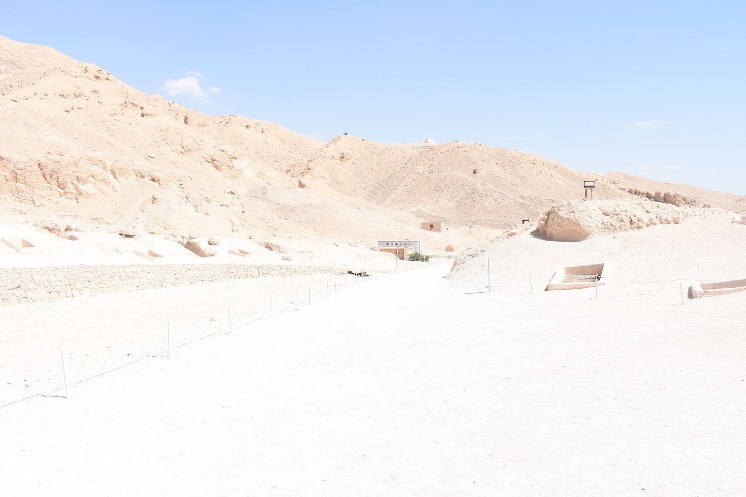
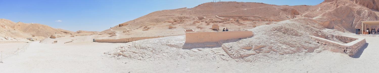
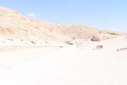
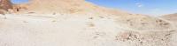
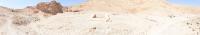
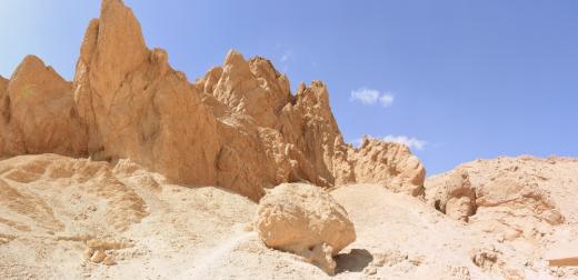
QV 21 lies on a slight slope on the south side of the main Wadi, along the principal pathway. It has two large, elongated chambers (B) and (C) on different axes. The large shaft (A) has a cement-coated masonry surround at its opening, as well as a metal grill with mesh.
Elizabeth Thomas (1959-60) described this tomb as one of the "crosswise" tombs with a unique plan. She reported that the tomb was well cut in good rock with a deep shaft. At the time of her visit, a number of objects were present. The tomb was last cleared in 1986 by the Franco-Egyptian Mission. Based on the archaeological material they recovered, the tomb appears to have been reused during the Third Intermediate, Roman, and Coptic periods.
Site History
The tomb was constructed in the 18th Dynasty. Based on the archaeological material recovered from the tomb by the Franco-Egyptian Mission, it was reused in the Third Intermediate, Roman, and Coptic Periods.
Dating
This site was used during the following period(s):
Exploration
Conservation
Conservation History
Previous efforts conducted by the Egyptian Antiquities Organization (EAO) include stabilizing the rock walls and ceiling with mortar.
Site Condition
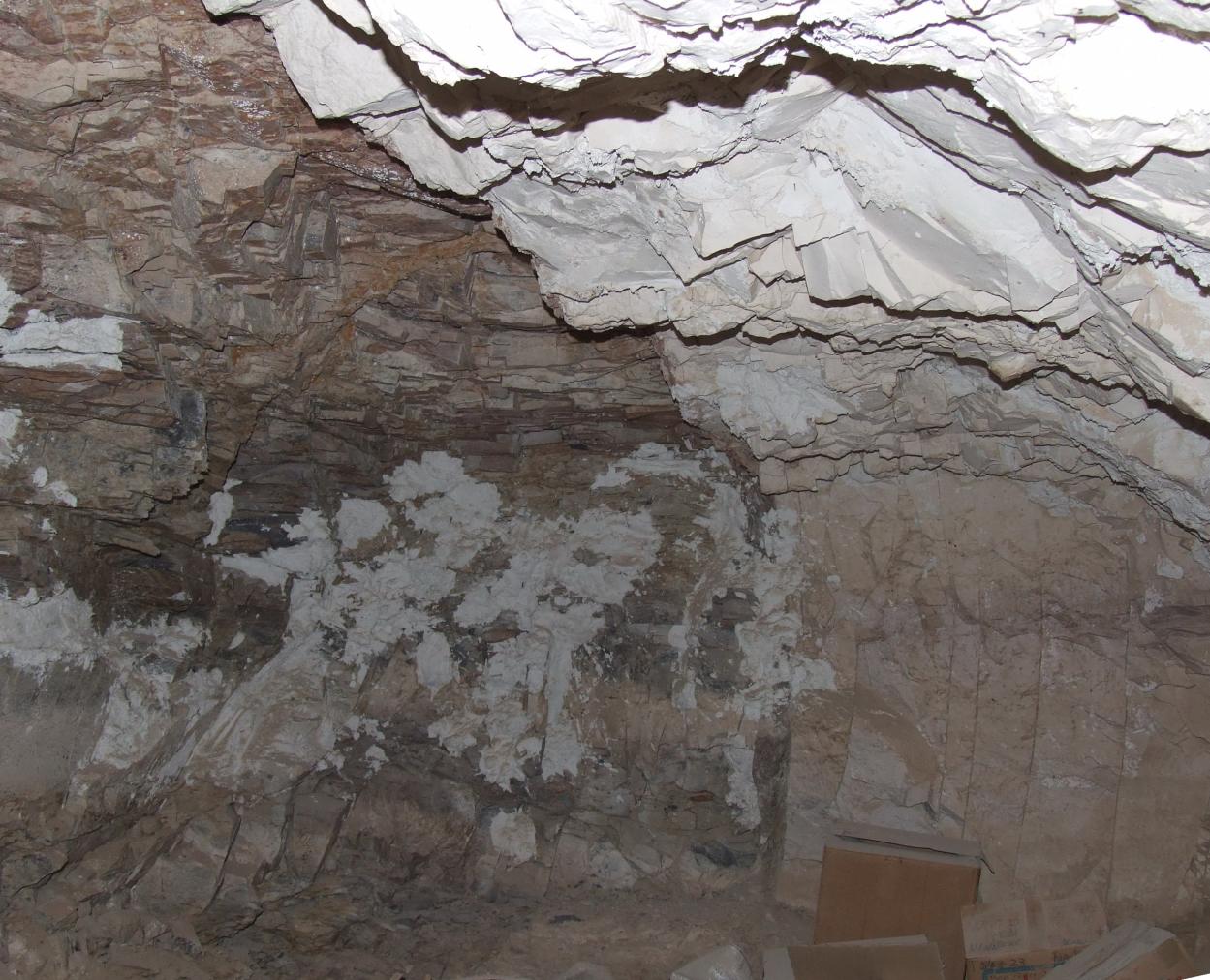
According to the GCI-SCA, the tomb is cut into an area of intersection of two different types of rock: shale and marl. The horizon between the two rock types runs through the tomb, and is relatively vertical in chamber (C). Fracturing and loss of both types of rock are widespread. The tomb was deemed to be structurally sound. Bat droppings were observed by the GCI-SCA assessment team. Given its proximity to the main Wadi, QV 21 is susceptible to flooding, and flood waters last entered in 1994.


Articles
Tomb Numbering Systems in the Valley of the Queens and the Western Wadis
Geography and Geology of the Valley of the Queens and Western Wadis
Bibliography
CNRS mission report: Centre national de la recherche scientifique (France). Rapport d'activité 1987-1988 URA no. 1064, 1987-1988.
Demas, Martha and Neville Agnew (eds). Valley of the Queens. Assessment Report. Los Angeles: The Getty Conservation Institute, 2012, 2016. Two vols.
Macke, André, Christiane Macke-Ribet, Christian Leblanc, and Jacques Connan. Ta set neferou: une necropole de Thebes-Ouest et son histoire: momification, chimie des baumes, anthropologie, paléopathologie. Vol. 5. Cairo: Nubar Printing House, 2002.
Thomas, Elizabeth. The Royal Necropoleis of Thebes. Princeton: privately printed, 1966.