QV 1
Coptic Hermitage

Entryway A
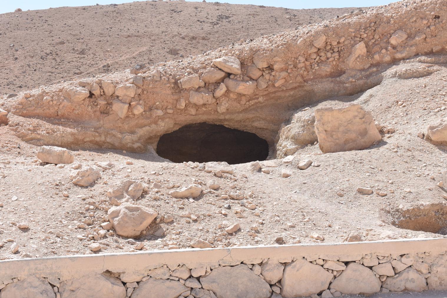
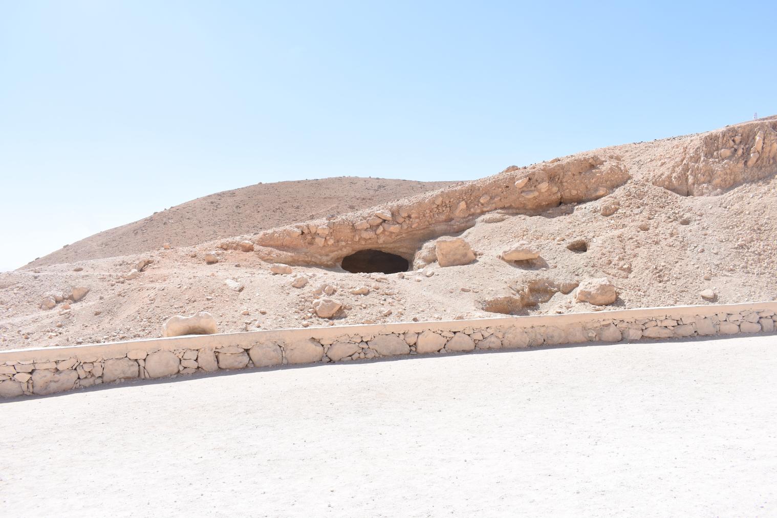
See entire tombA rectangular chamber within a north-facing hill slope. There are remains of an exterior courtyard in front of the chamber to the north. Patches of rough earthen plaster containing straw (mouna) survive on the walls (upper and lower parts) and ceiling.
Corridor B
See entire tombAn unfinished corridor cut into the eastern wall of chamber A.
About
About
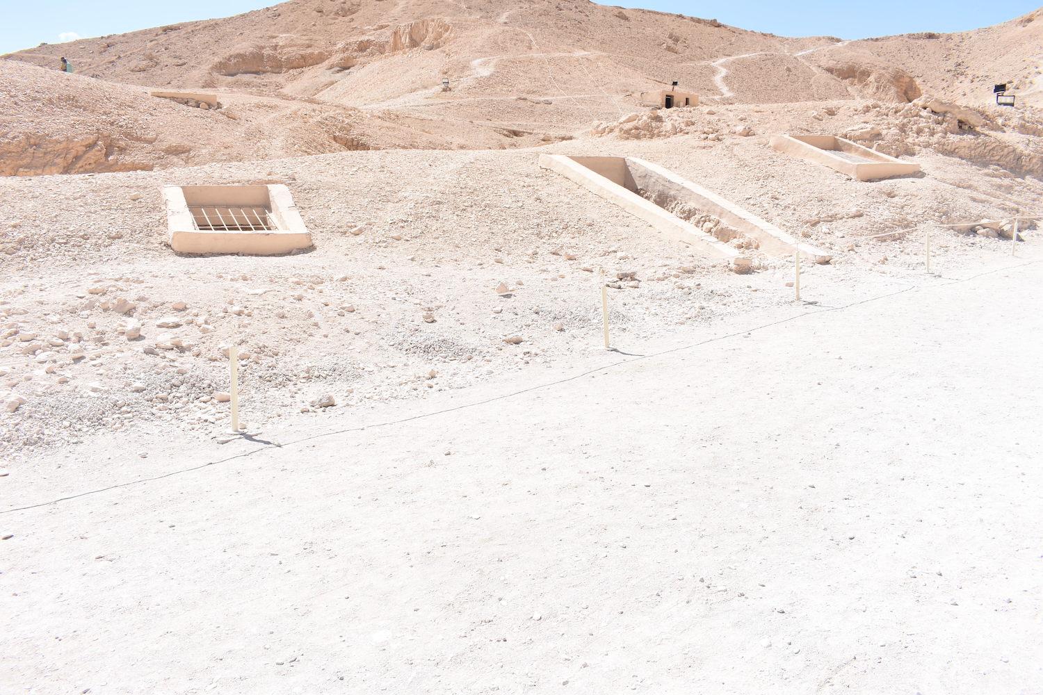
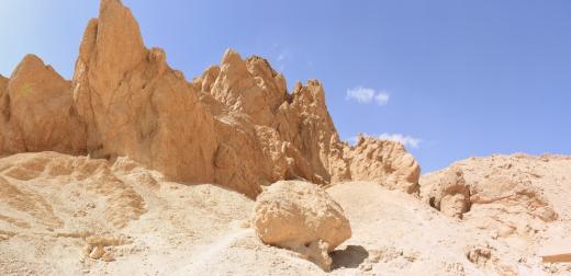
QV 1 is located to the south of the main visitor path, and south-southwest of Dayr al-Rumi. It was initially misinterpreted as a tomb and given a QV designation, but is now understood to be a Coptic hermitage or shelter. It consists of a rectangular chamber within a hill slope, an unfinished chamber, as well as the remains of an exterior courtyard to the north.
Inside the chamber, remains of rough earthen plaster containing straw (known locally as mouna) are present on the walls and ceiling. At the time of its clearance in 1985, the Franco-Egyptian Mission reported that a few stone Steps remained at the site’s north entrance. A low wall built with rubble stones and dried mud is present outside the cavity on the west side of the courtyard entrance.
Noteworthy features:
QV 1 was initially misinterpreted as a tomb and given a QV designation, but is now understood to be a Coptic hermitage or shelter.
Site History
Archaeologists originally assigned the site a tomb number (QV 1) believing that it had been a pharaonic tomb. However, no evidence of its funerary use exists. Its ancient use has been interpreted with more certainty to have been as a Coptic hermit shelter associated with Dayr al-Rumi. It is not certain whether the chamber was naturally occurring or was dug out by humans, or some combination of the two.
Dating
This site was used during the following period(s):
Exploration
Conservation
Site Condition
According to the GCI-SCA, the stone Steps and other stone features inside the shelter reported by the Franco-Egyptian Mission in 1985 are no longer visible. The masonry wall on the west side of the shelter’s opening, as well as its entrance have suffered stone loss. Boulders immediately above the chamber’s entrance are at risk of falling.


Articles
Tomb Numbering Systems in the Valley of the Queens and the Western Wadis
Geography and Geology of the Valley of the Queens and Western Wadis
Bibliography
Demas, Martha and Neville Agnew (eds). Valley of the Queens. Assessment Report. Los Angeles: The Getty Conservation Institute, 2012, 2016. Two vols.
Leblanc, Christian. Ta set nefrou: une nécropole de Thèbes-ouest et son histoire, 1: géographie- toponymie: historique de l'exploration scientifique du site. Cairo: Nubar Printing House, 1989.
Lecuyot, Guy. The Valley of the Queens in the Coptic Period. In: Tito Orlandi and David W. Johnson (eds.), Acts of the Fifth International Congress of Coptic Studies, Washington, 12-15 August 1992. Vol. 2,1. Rome: CIM, 1993: 263-276.
Lecuyot, Guy. Ta Set Neferu: A Brief History of Excavations in the Valley of the Queens. KMT: A Modern Journal of Ancient Egypt 11, 2 (2000): 42-55.
Thomas, Elizabeth. The Royal Necropoleis of Thebes. Princeton: privately printed, 1966.