QV 91
Anonymous

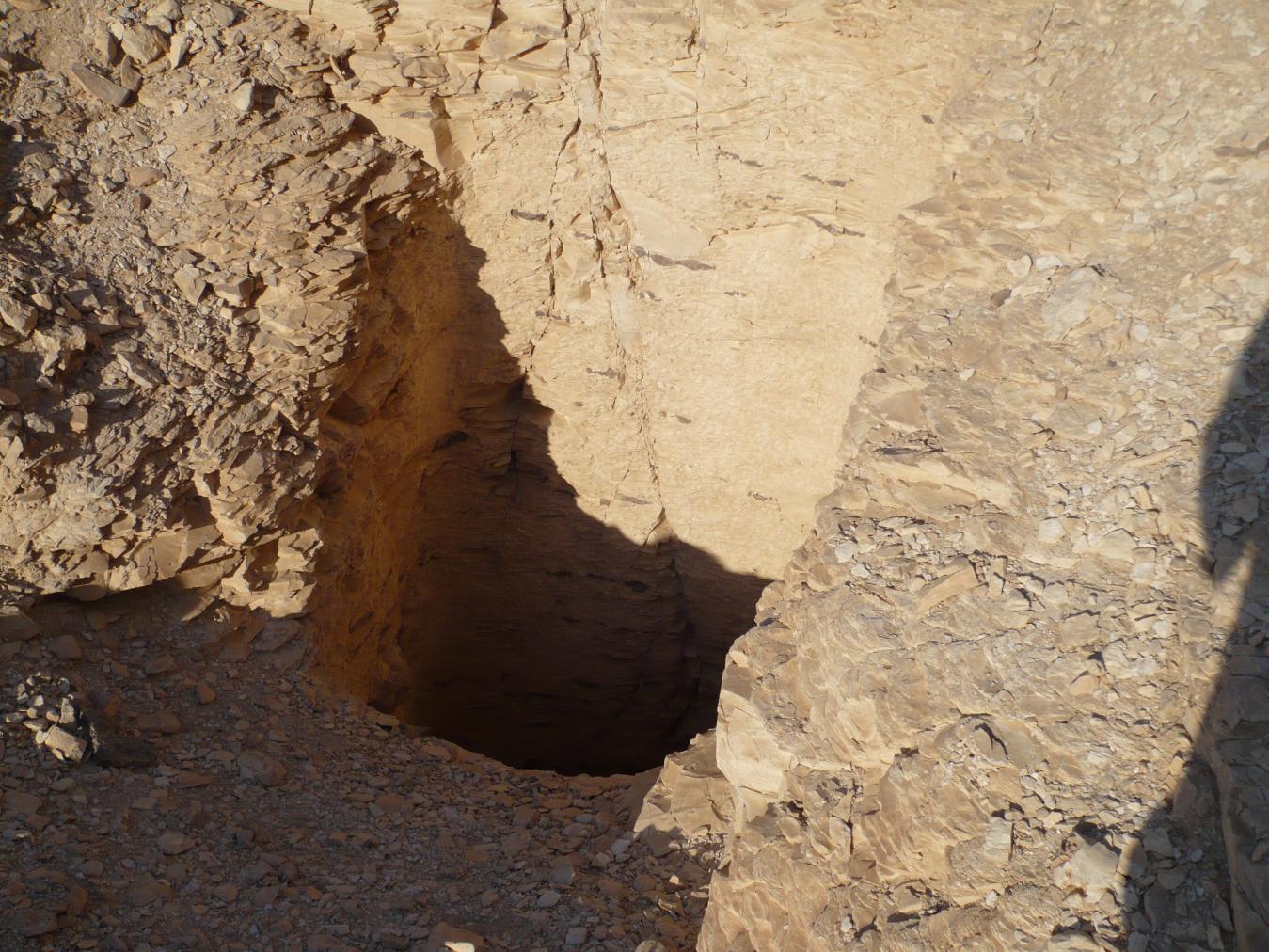
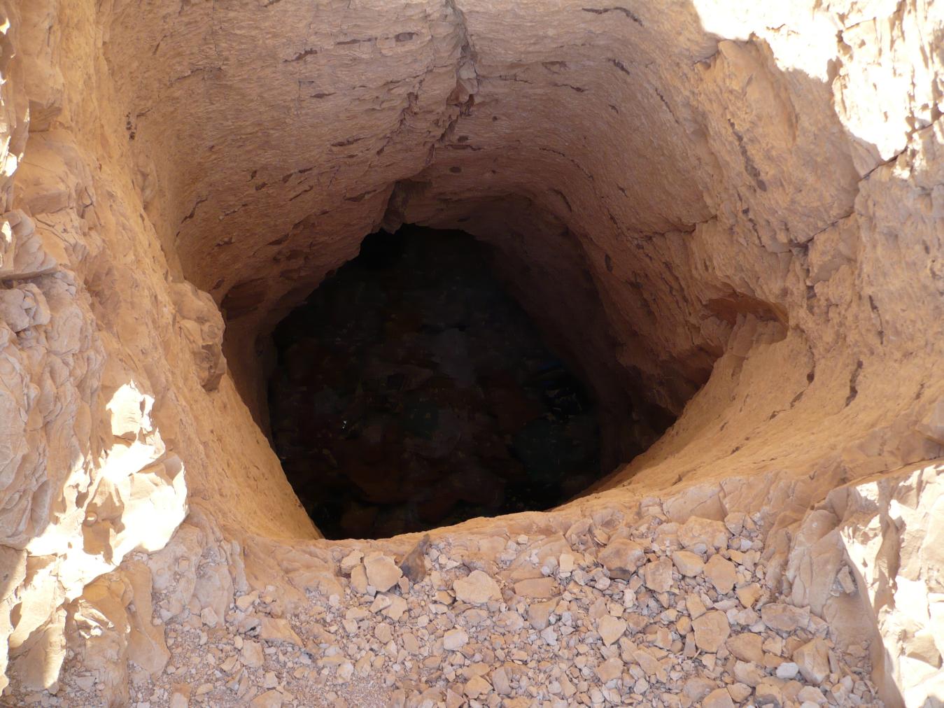
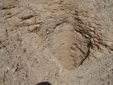
Entryway A
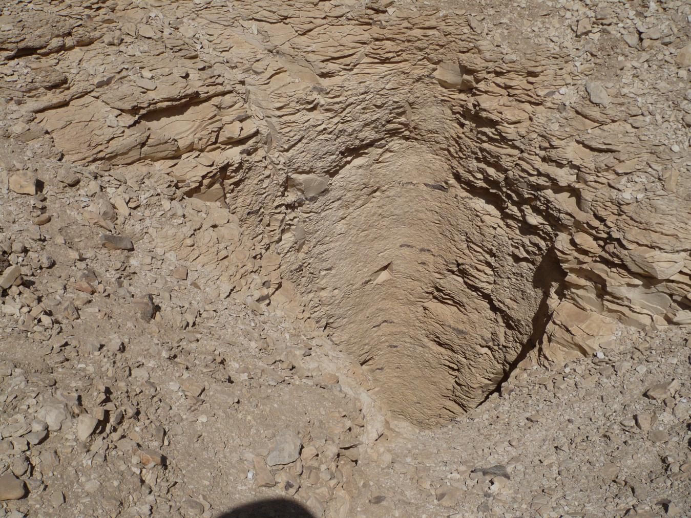
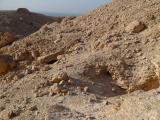
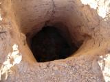
See entire tombA very deep vertical shaft that provides access to the tomb. A large pile of stones 1m high lies to the north of the shaft.


Burial chamber B
See entire tombA large, undecorated, and rectangular burial chamber that lies on axis with the tomb's entrance.
Chamber plan:
RectangularRelationship to main tomb axis:
ParallelChamber layout:
Flat floor, no pillarsFloor:
One levelCeiling:
Flat
About
About
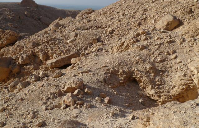
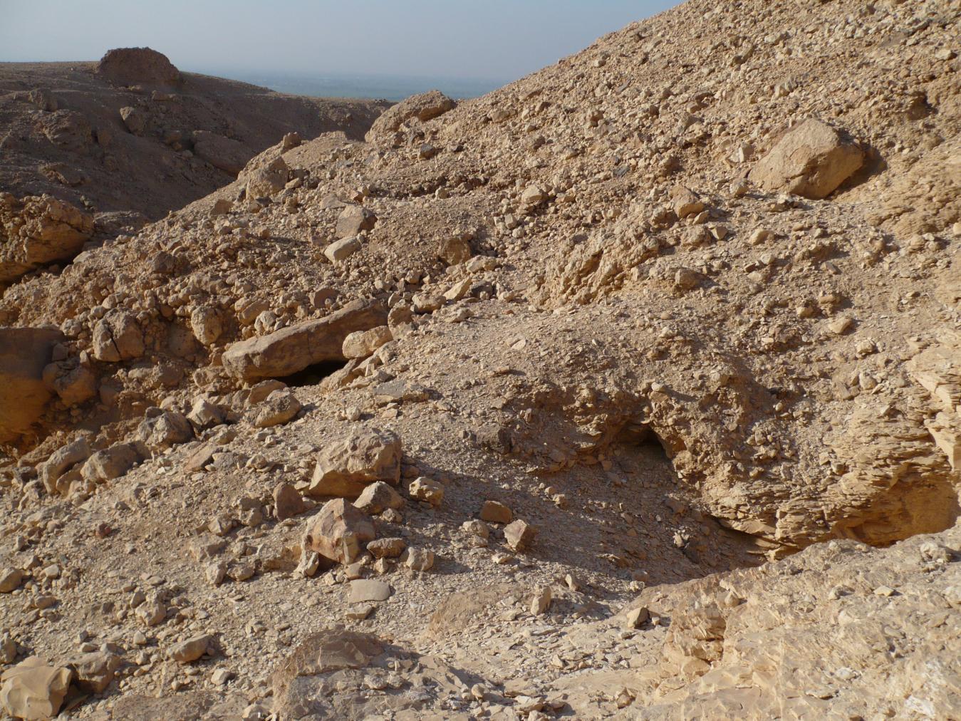
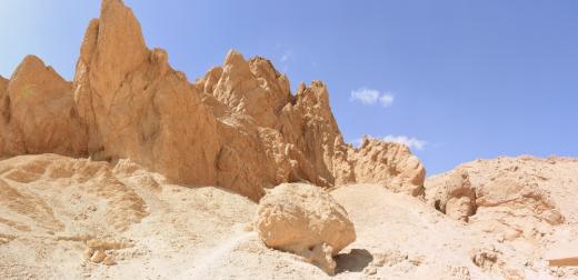
Located further north than tombs QV A through QV L in the Valley of the Three Pits, QV 91 may have been first explored by Georges Daressy (1895). The tomb consists of a very deep vertical shaft (A) leading to a large, undecorated burial chamber (B) that lies on axis with the entrance. While his description of the tomb locations is imprecise, it is clear that he entered at least one shaft tomb at the head of the Valley of the Three Pits and discovered archaeological material dating stylistically to the 25th or 26th Dynasty. It is unclear which of the three tombs held the Late Period material.
Site History
The tomb was constructed in the 18th Dynasty.
Dating
This site was used during the following period(s):
Exploration
Conservation
Site Condition
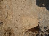
Due to the remote location and the depth of the shaft, the GCI-SCA did not assess the tomb from the interior. The shaft appears to be in good condition and is carved into marl, though substantial amounts of debris has accumulated at the base due to erosion. The area surrounding the entry of the tomb continues to erode due to upslope runoff.
Articles
Tomb Numbering Systems in the Valley of the Queens and the Western Wadis
Geography and Geology of the Valley of the Queens and Western Wadis
Bibliography
Černý, Jarosłav, Christiane Desroches-Noblecourt and Marcel Kurz. Graffiti de la Montagne thébaine, I/1. Cartographie et étude topographique illustrée. Collection scientifique du CEDAE-CNRS. Cairo, 1969-1970.
Daressy, Georges. Trois points inexplorés de la nécropole thébaine, Annales du Service des antiquités de l’Egypte 2 (1901): 133-136.
Demas, Martha and Neville Agnew (eds). Valley of the Queens. Assessment Report. Los Angeles: The Getty Conservation Institute, 2012, 2016. Two vols.
Loyrette, Anne-Marie. À propos de boules en fritte glaçurée trouvées dans la Vallée des trois puits. In: Jacke Phillips, and Lanny Bell (eds.) Ancient Egypt, the Aegean, and the Near East: Studies in Honour of Martha Rhoads Bell, Vol. 2. San Antonio: Van Sicklen Books, 1997: 359-68.
Loyrette, Anne-Marie. Les tombes de la Vallée des trois puits à Thèbes-Quest. Memnonia, 8 (1997): 177-195.
Schiaparelli, Ernesto. Realazione sui lavon della Missione archeologica italiana in Egitto, anni 1903-1020: la tomba intatta dell’architetto Cha: nella necropoli di Tebe. Vol. 2. Turin: Casa editrice Giovanni Chiantore, 1927.