QV 7
Anonymous

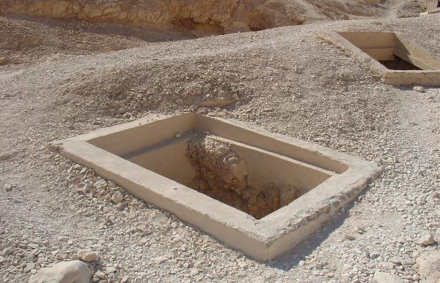
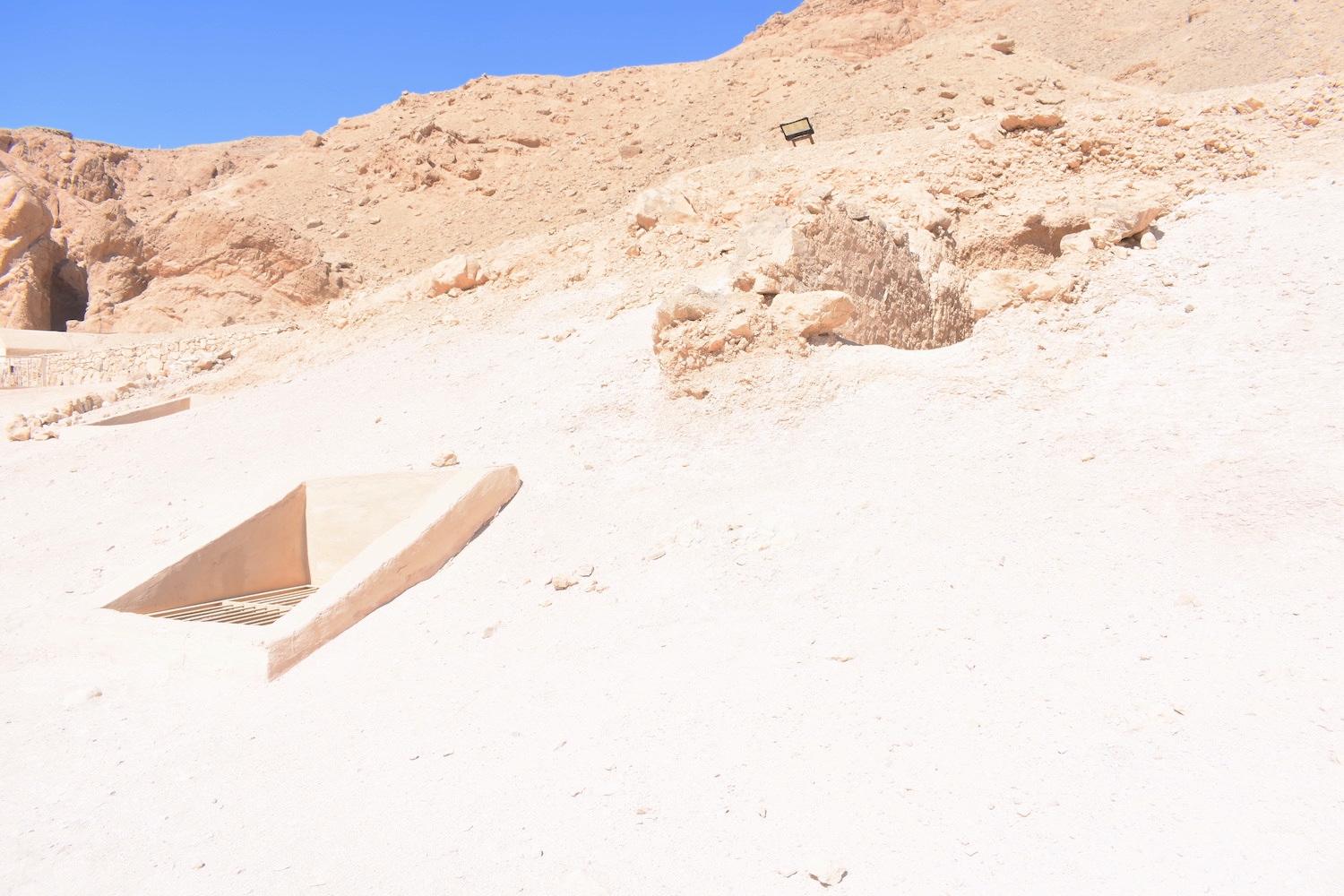
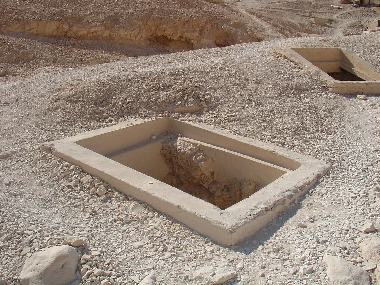
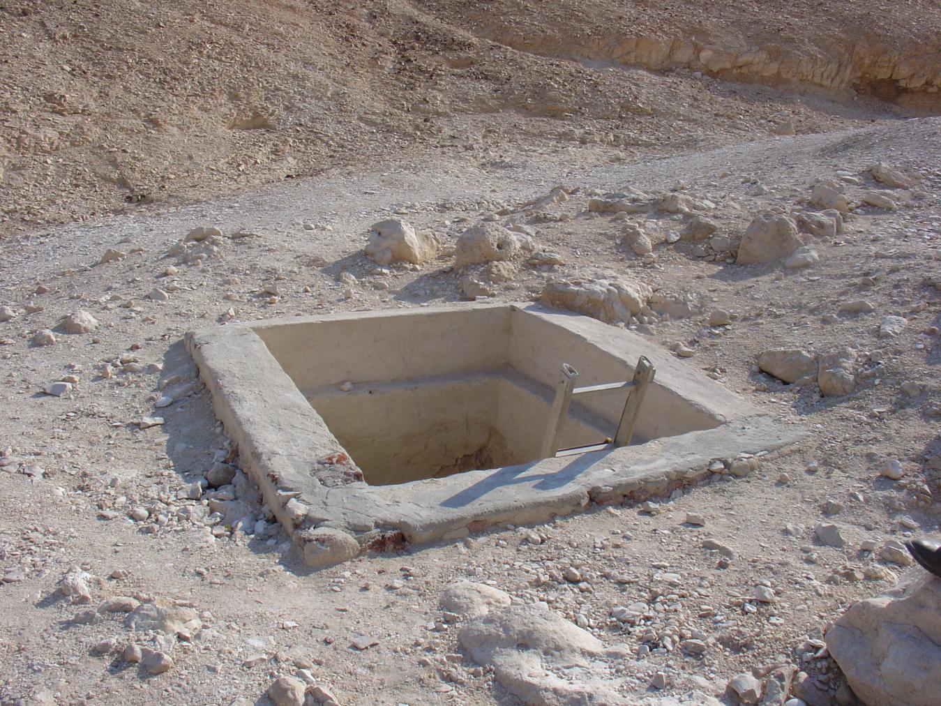
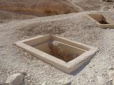
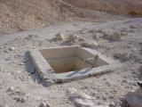
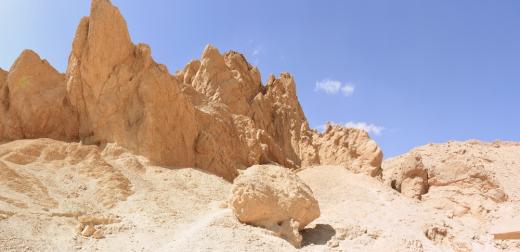
Entryway A
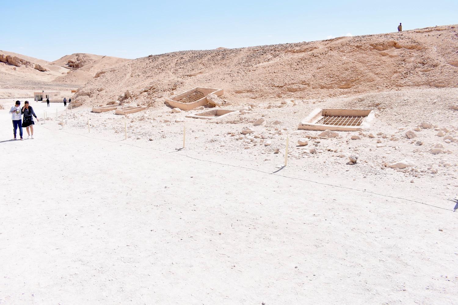
See entire tombThe shaft is partially filled with debris and has a modern cemented masonry surround without metal grid or mesh.

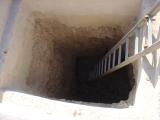
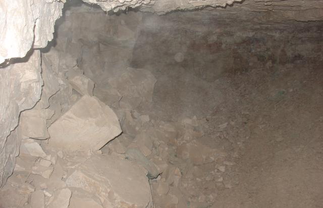
Chamber B
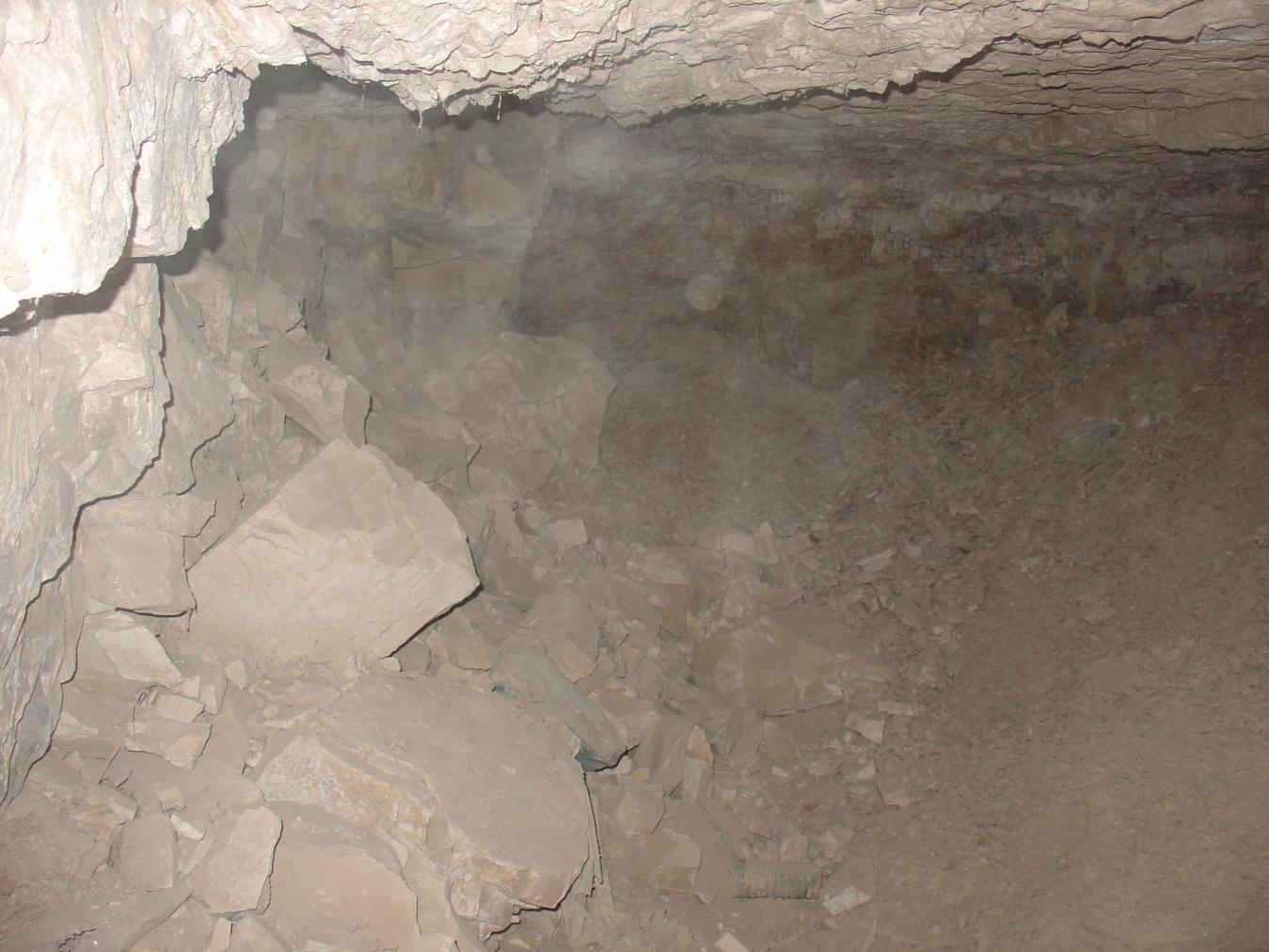
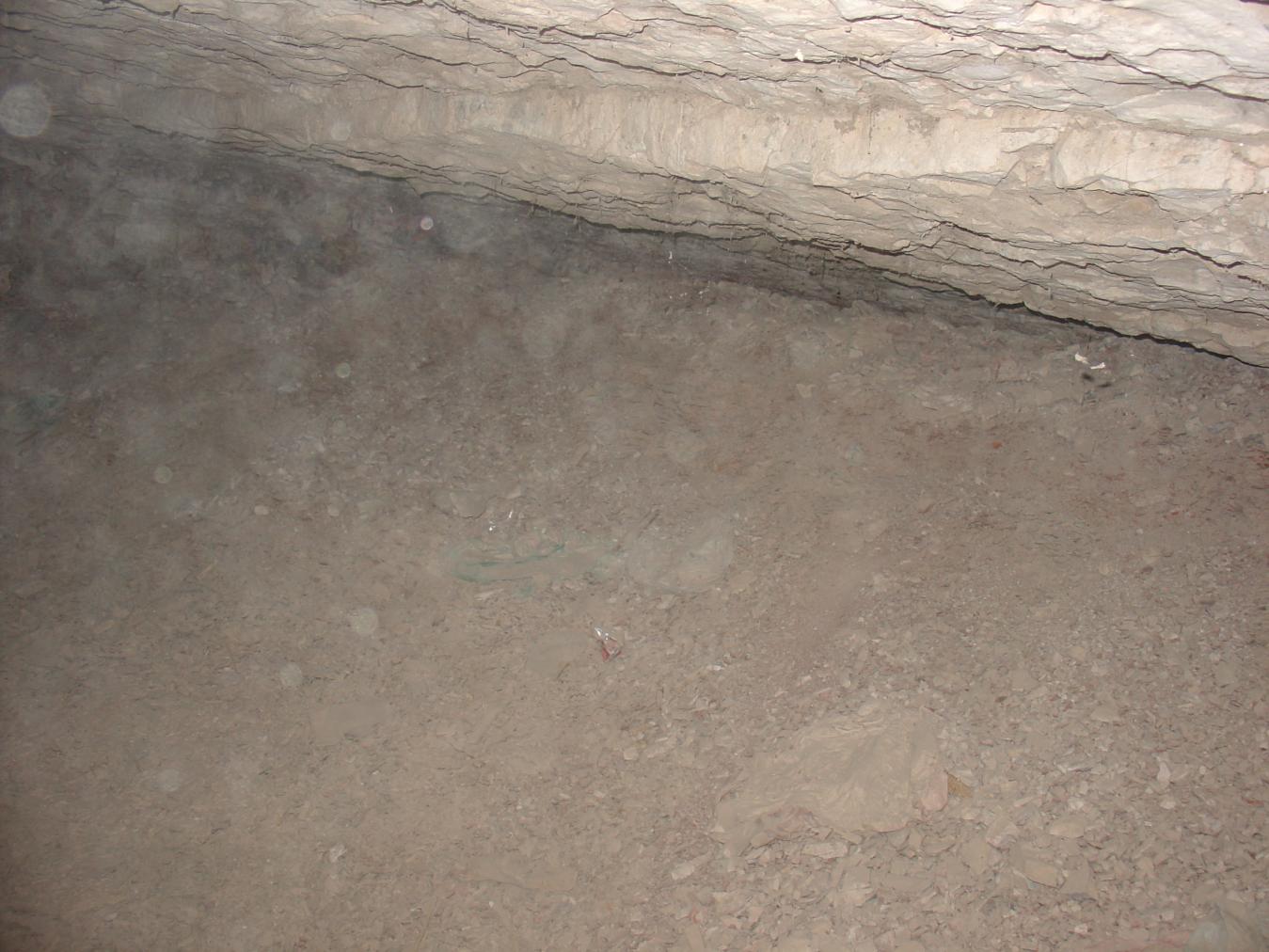
See entire tombA rough, undecorated primary chamber.
Chamber C
See entire tombUnfinished second chamber that is only partially excavated.
About
About
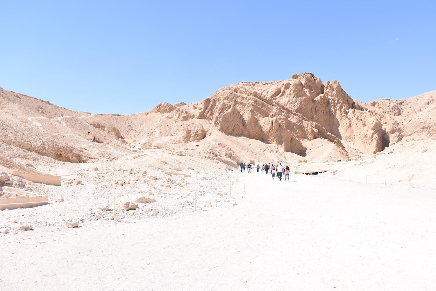
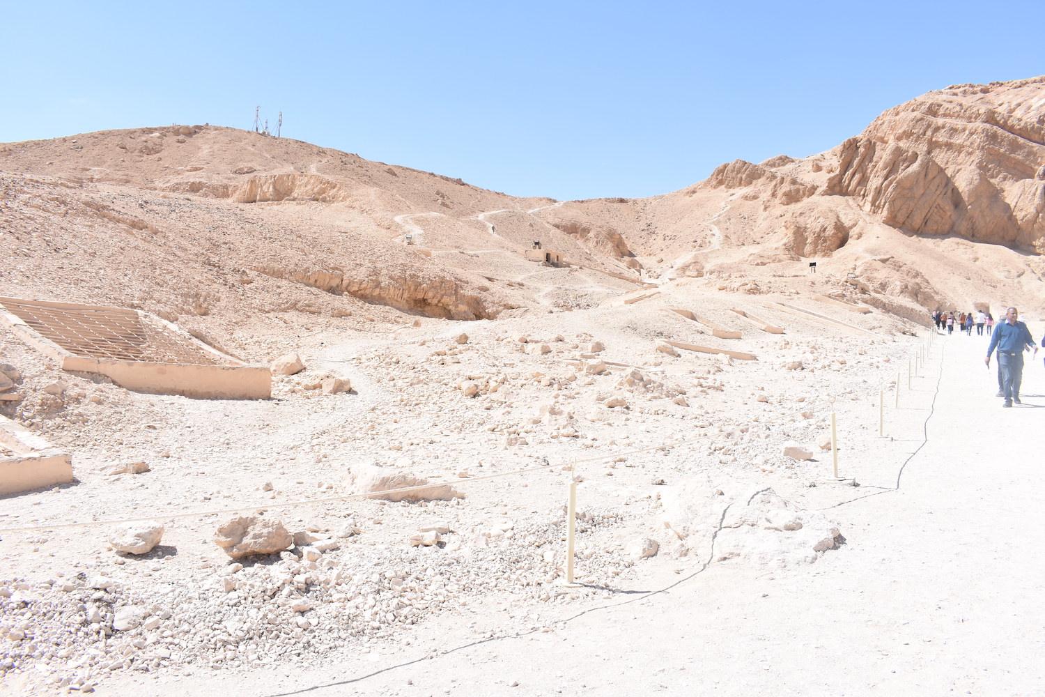
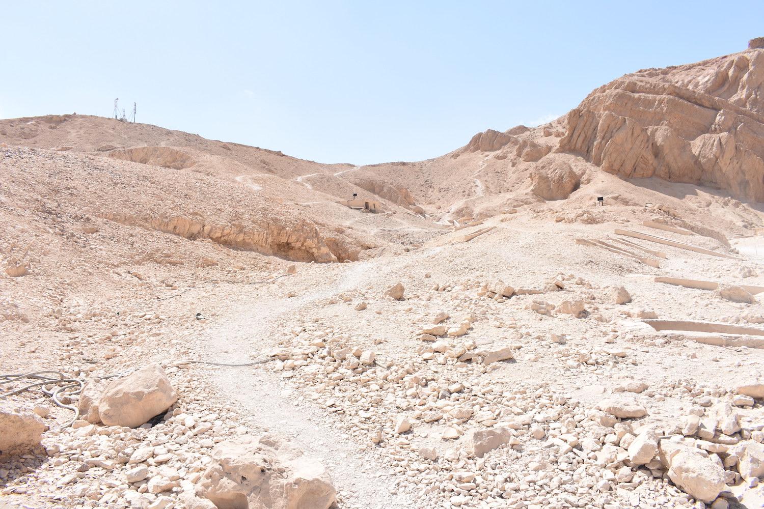
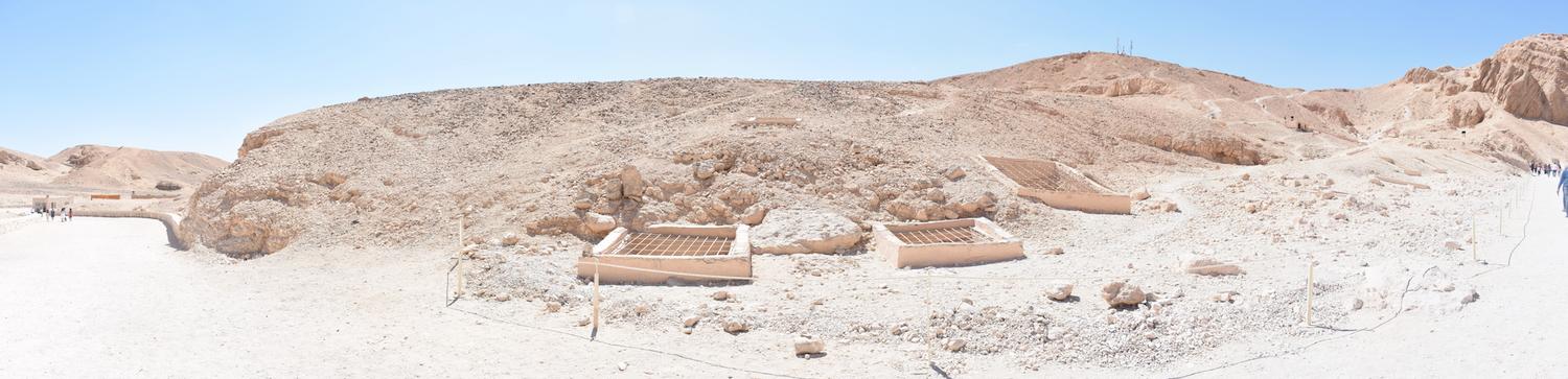
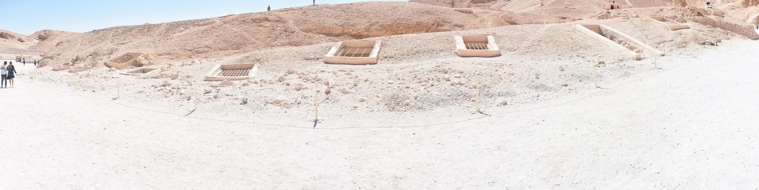
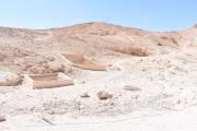
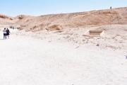
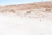
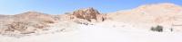
QV 7 lies on the south side of the main Wadi, between the paved visitor path on the valley floor and the higher footpath to the south. The shaft (A), which is partially filled with debris, has a modern cemented masonry surround without metal grill or mesh. The tomb has a primary chamber (B) and what has been interpreted to be part of a second chamber (C), though unfinished.
Elizabeth Thomas recorded that QV 7, QV 8, QV 9, and QV 10 were all similar in plan, though QV 7 had an addition that may have been excavated after the tomb was initially completed. The last clearing of the tomb was conducted by the Franco-Egyptian team in 1985-86 and has been dated to the 18th Dynasty. Nothing was recovered from the tomb itself, but a small pottery assemblage lay near the tomb entrance.
Site History
The tomb was constructed in the 18th Dynasty and the excavation of chamber C was possibly started at a later stage, although the exact period is unknown.
Dating
This site was used during the following period(s):
Exploration
Conservation
Site Condition
According to the GCI-SCA, the tomb shaft (A) appears stable. The ceiling of chamber (B) is extensively fractured, though following an assessment by the GCI-SCA from 2006-2009, it has been judged to be stable. Silt was observed on the walls of shaft (A) and thick cracked, dried mud on the floor and ceiling of chamber (B), indicating past water infiltration, presumably during the 1994 flood. Trash had accumulated at base of shaft and was removed in 2007 and 2008. Water infiltration has likely impacted the stability of the tomb, particularly affecting the fragile shale into which the tomb is principally excavated. Flooding continues to be a serious threat due to the location of the tomb's unprotected shaft next to the main drainage channel.


Articles
Tomb Numbering Systems in the Valley of the Queens and the Western Wadis
Geography and Geology of the Valley of the Queens and Western Wadis
Bibliography
Aston, D.A. The Theban West Bank from the Twenty-fifth Dynasty to the Ptolemaic Period. In: Nigel Strudwick, and John H. Taylor (Eds.). The Theban Necropolis: Past, Present and Future. London: British Museum, 2003: 138- 63.
Aston, David. Burial Assemblages of Dynasty 21-25. Chronology – Typology – Developments. Denkschriften der Gesamtakademie 54 = Contributions to the Chronology of the Eastern Mediterranean 21. Wien: Verlag der Österreichischen Akademie der Wissenschaften, 2009.
CNRS mission report: Centre national de la recherche scientifique. Rapport d'activité 1988/1989 and1989/1990 URA no. 1064. Recherches sur les nécropoles thébaines et le Ramésseum; Publication des temples de la Nubie, 1988.
Demas, Martha and Neville Agnew (eds). Valley of the Queens. Assessment Report. Los Angeles: The Getty Conservation Institute, 2012, 2016. Two vols.
Thomas, Elizabeth. The Royal Necropoleis of Thebes. Princeton: privately printed, 1966.