QV 20
Anonymous

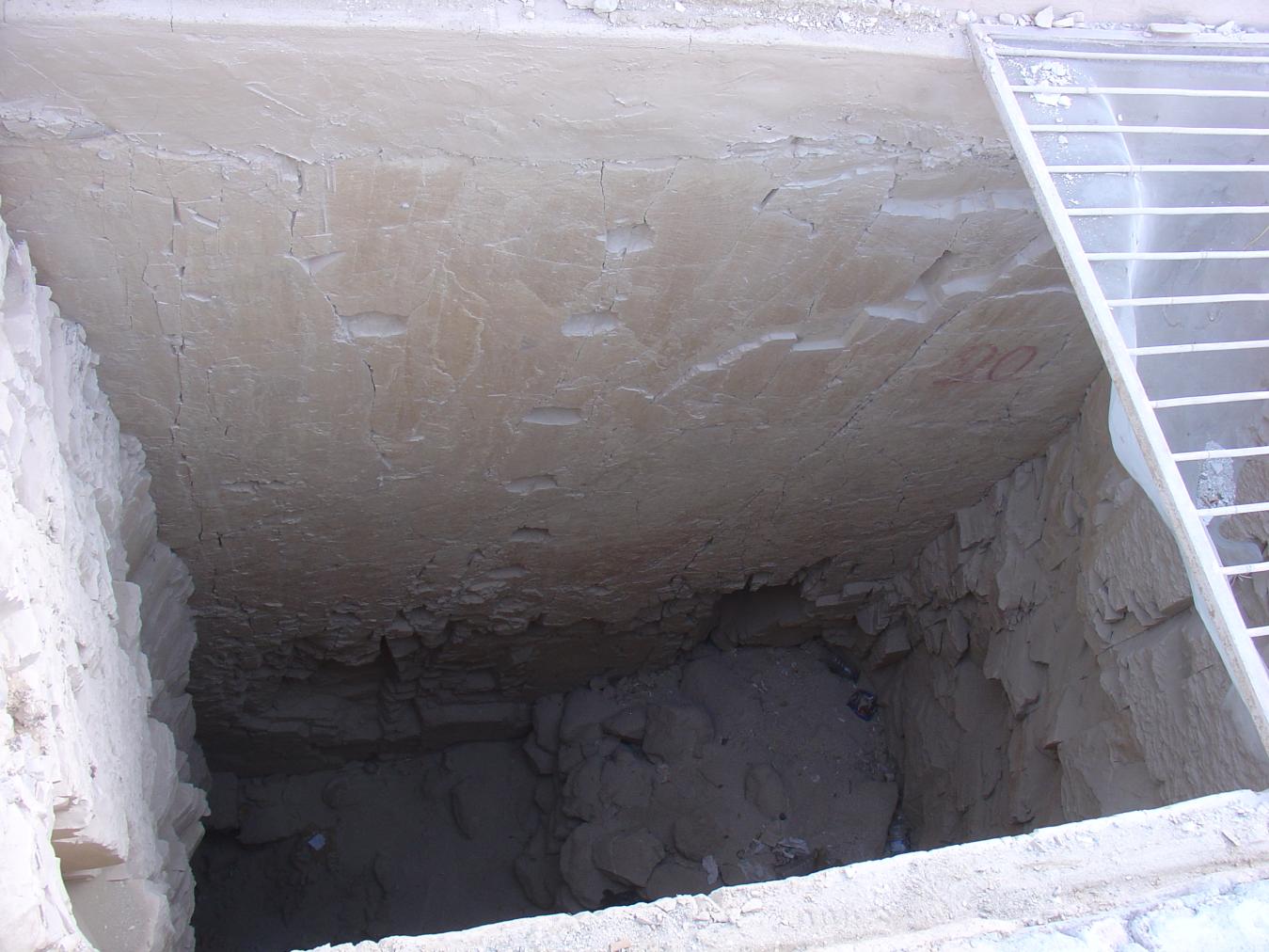
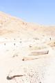
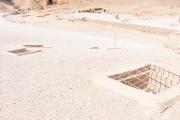
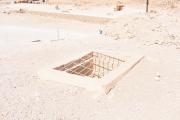
Entryway A
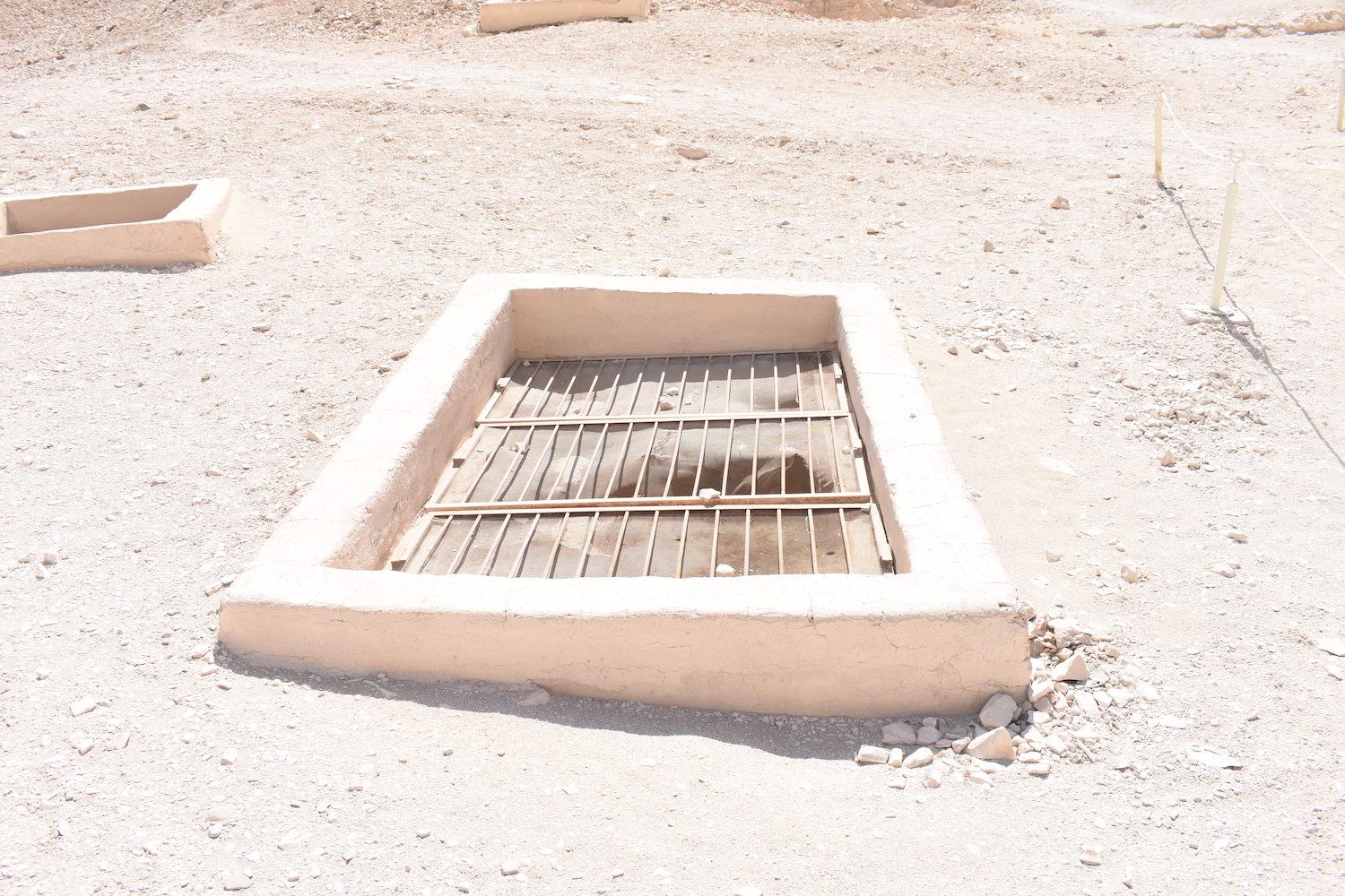
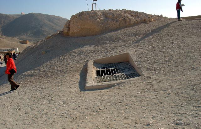
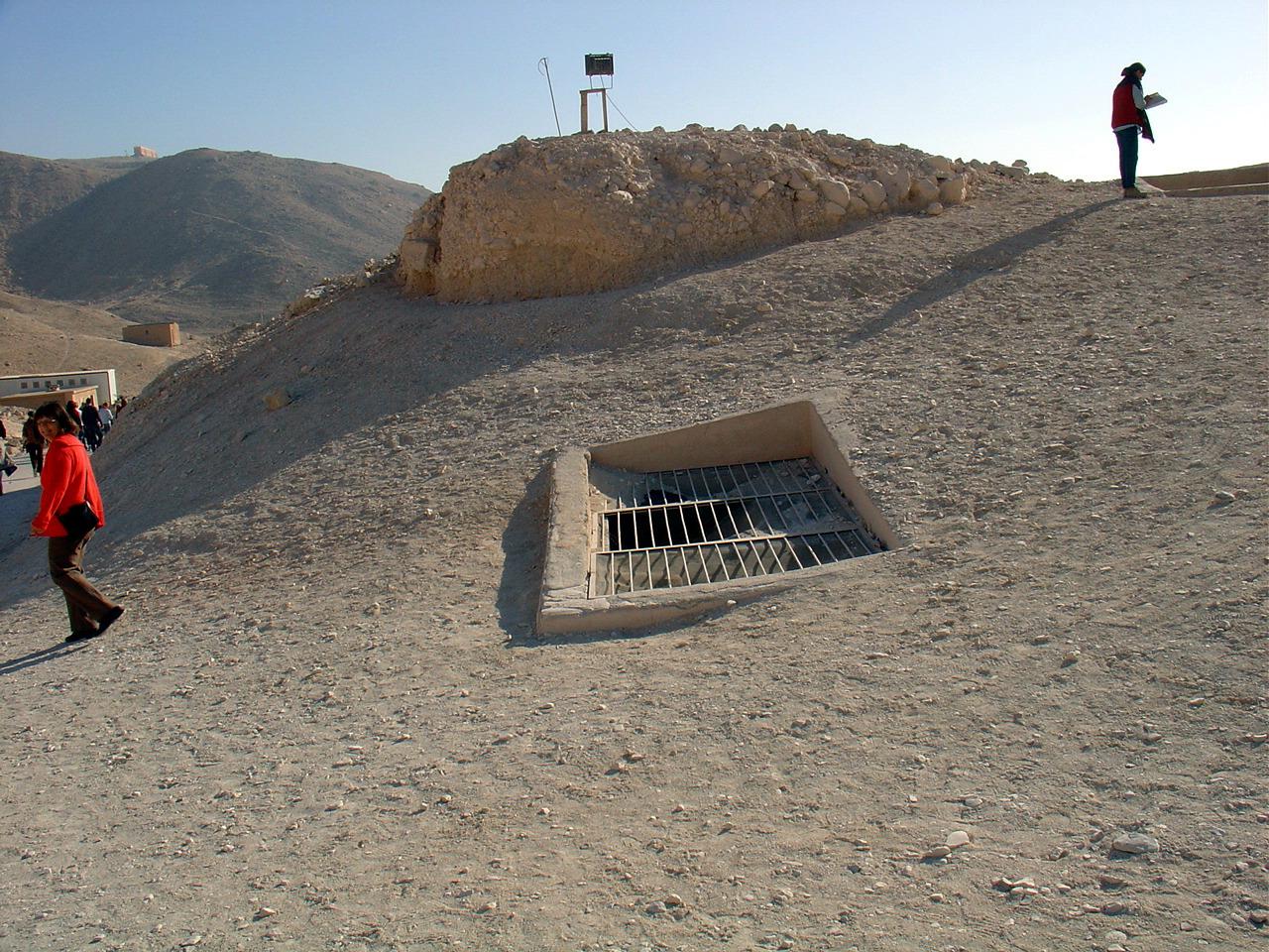
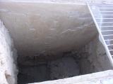
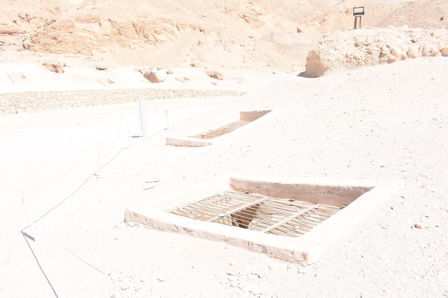
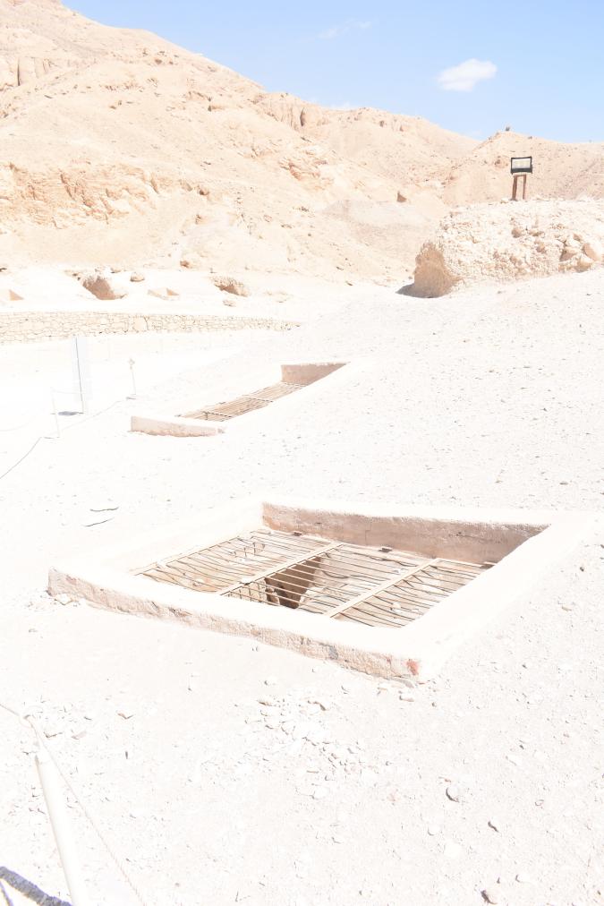
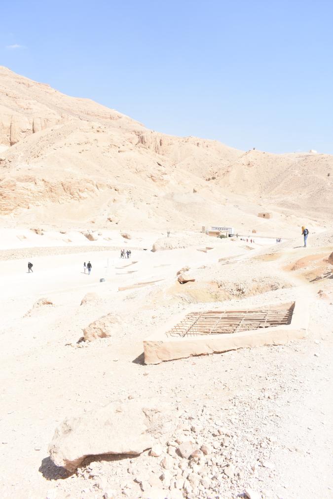
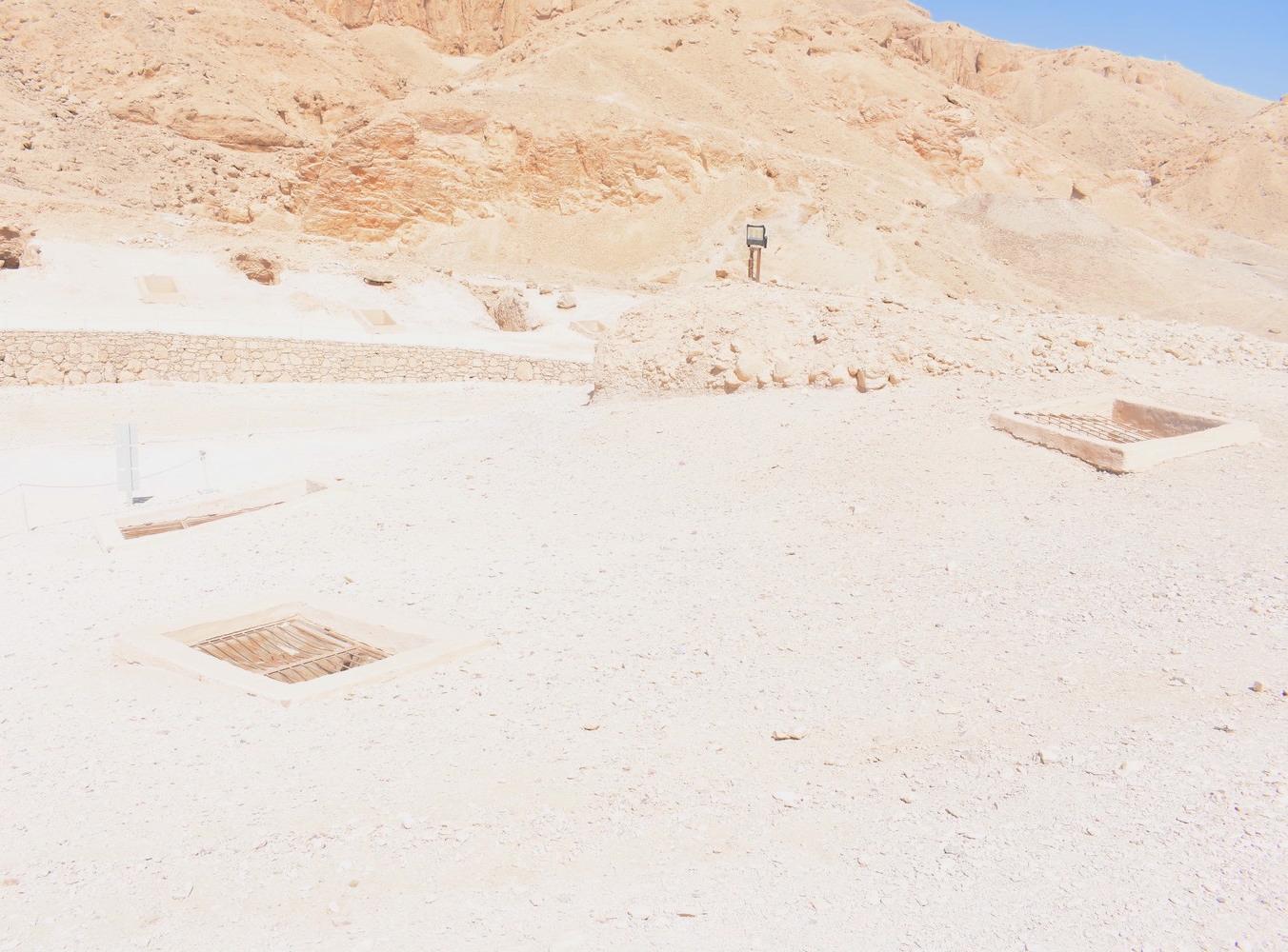
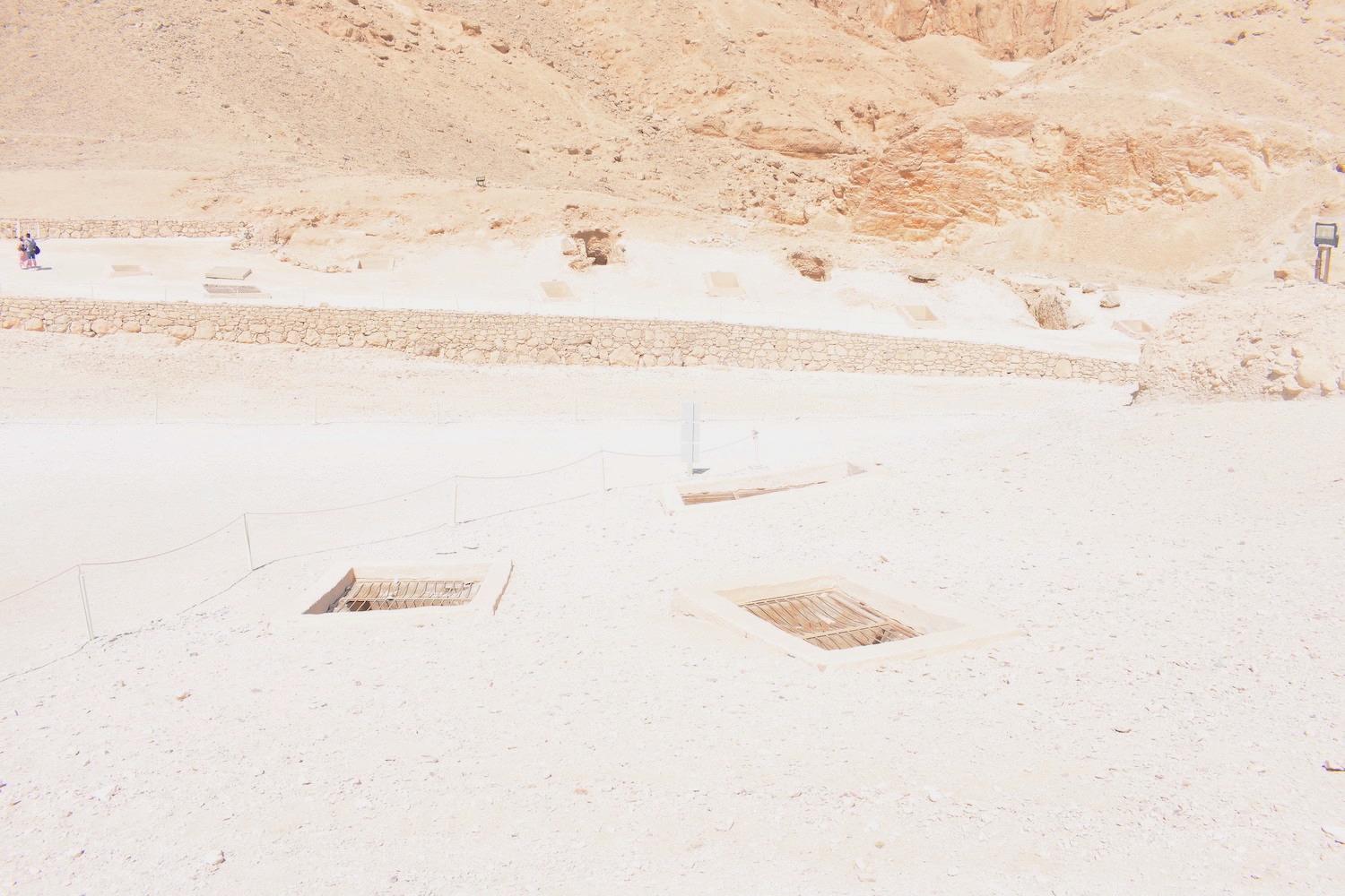
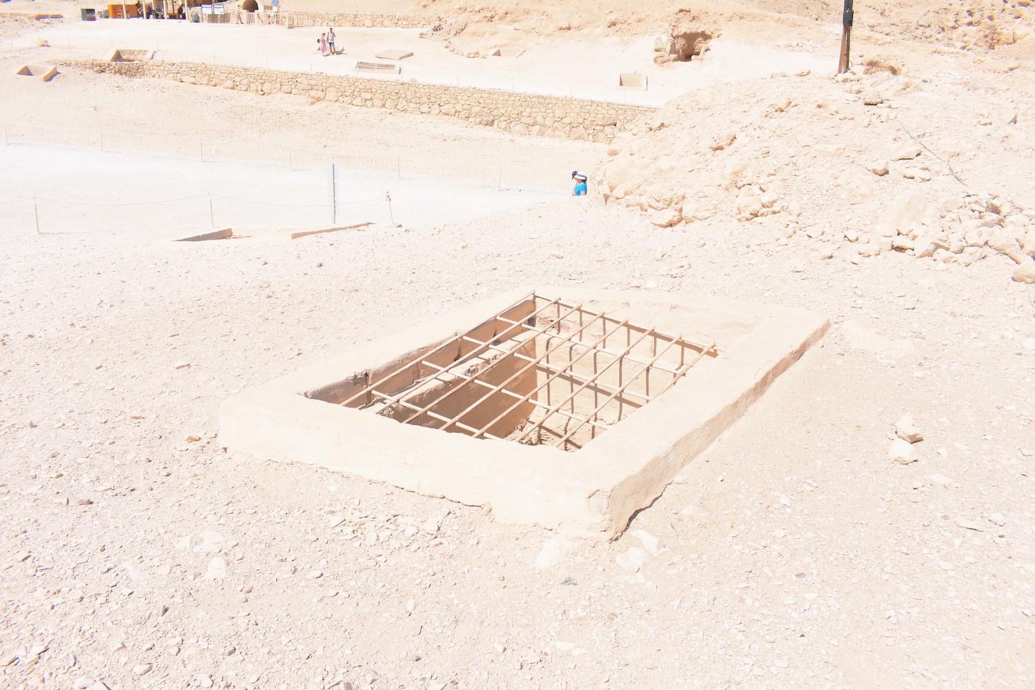
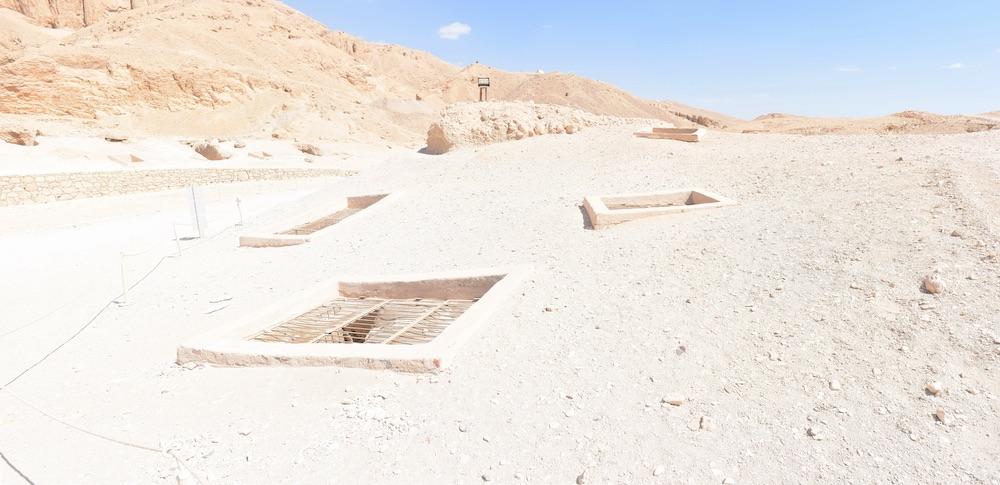
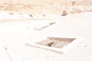
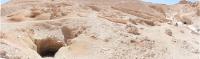
See entire tombThe deep well-cut pit shaft has a modern masonry surround with cement plaster, spanned by a metal grill with torn mesh. The shaft has a series of six successive hand- or foot-holds cut into the side.

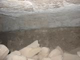
Chamber B
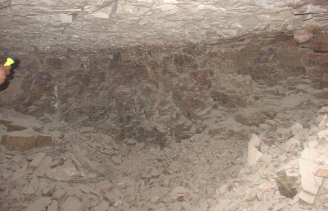
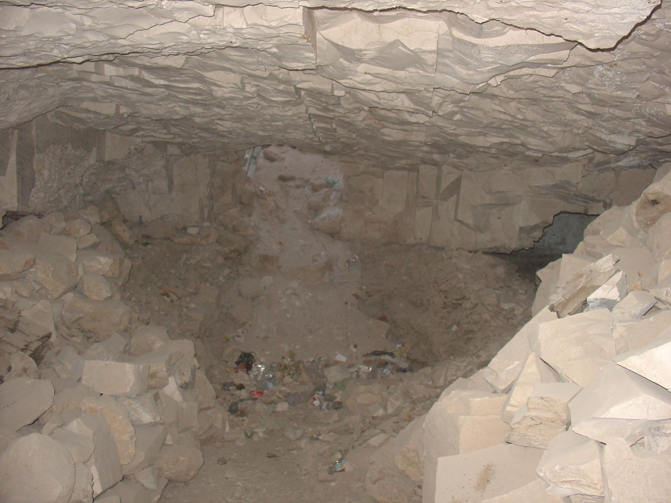
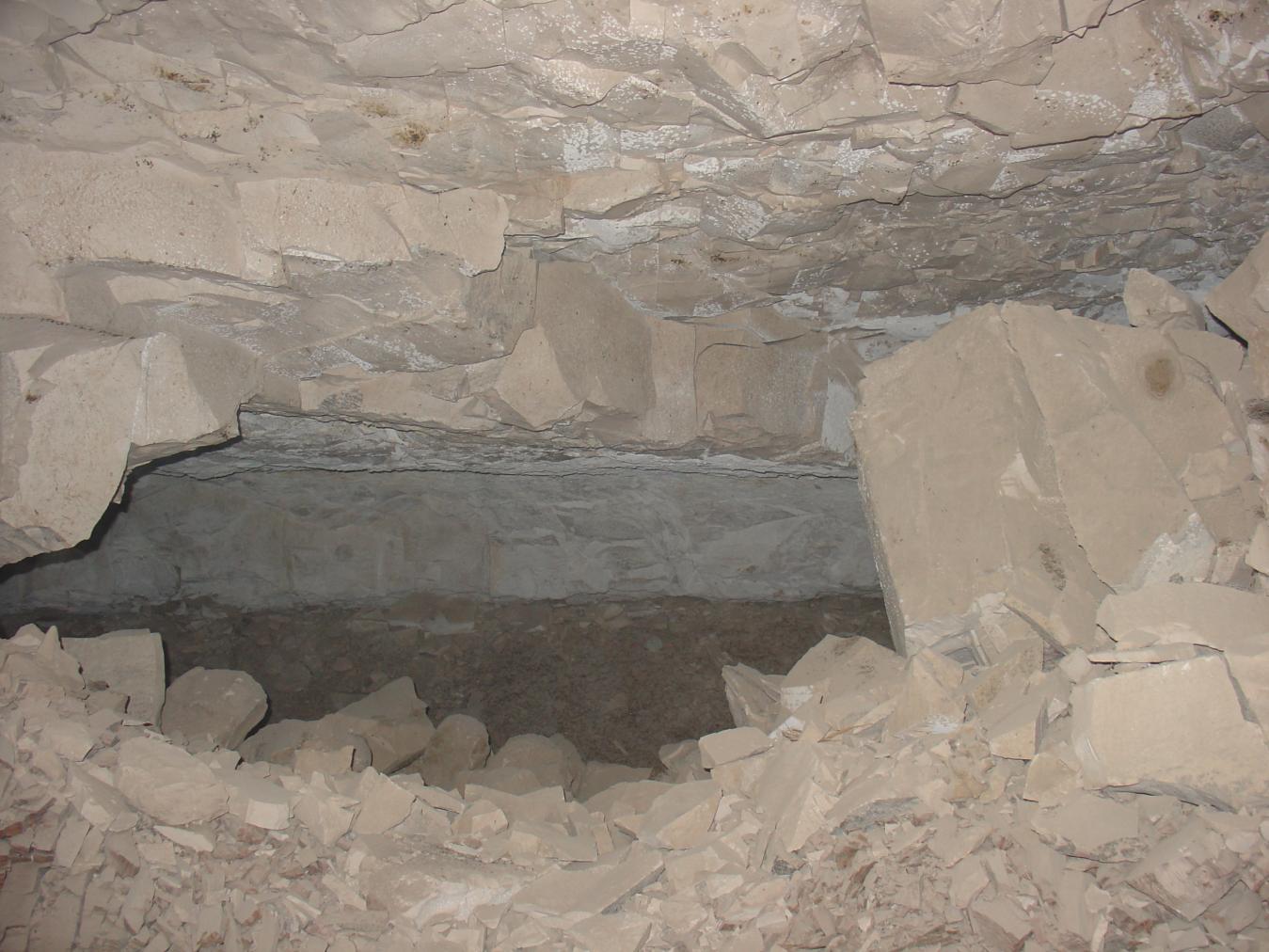
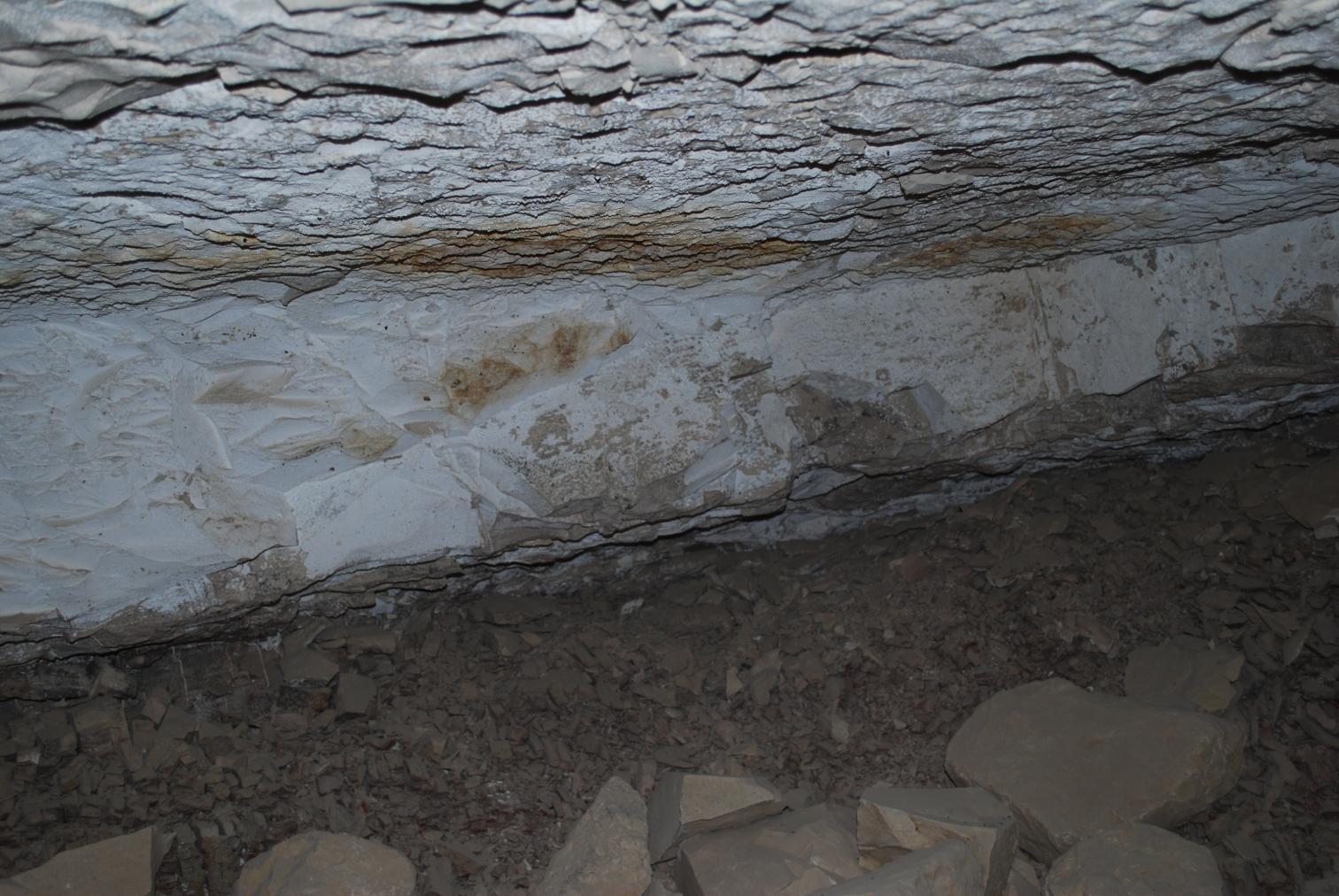
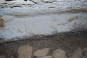
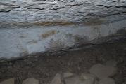
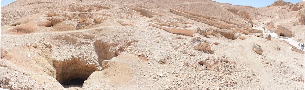
See entire tombA large rectangular undecorated chamber situated perpendicular to QV 19 above. A badly damaged doorway leads to chamber C. The majority of the south wall has collapsed, but some remnants of the wall remain at the ceiling level.
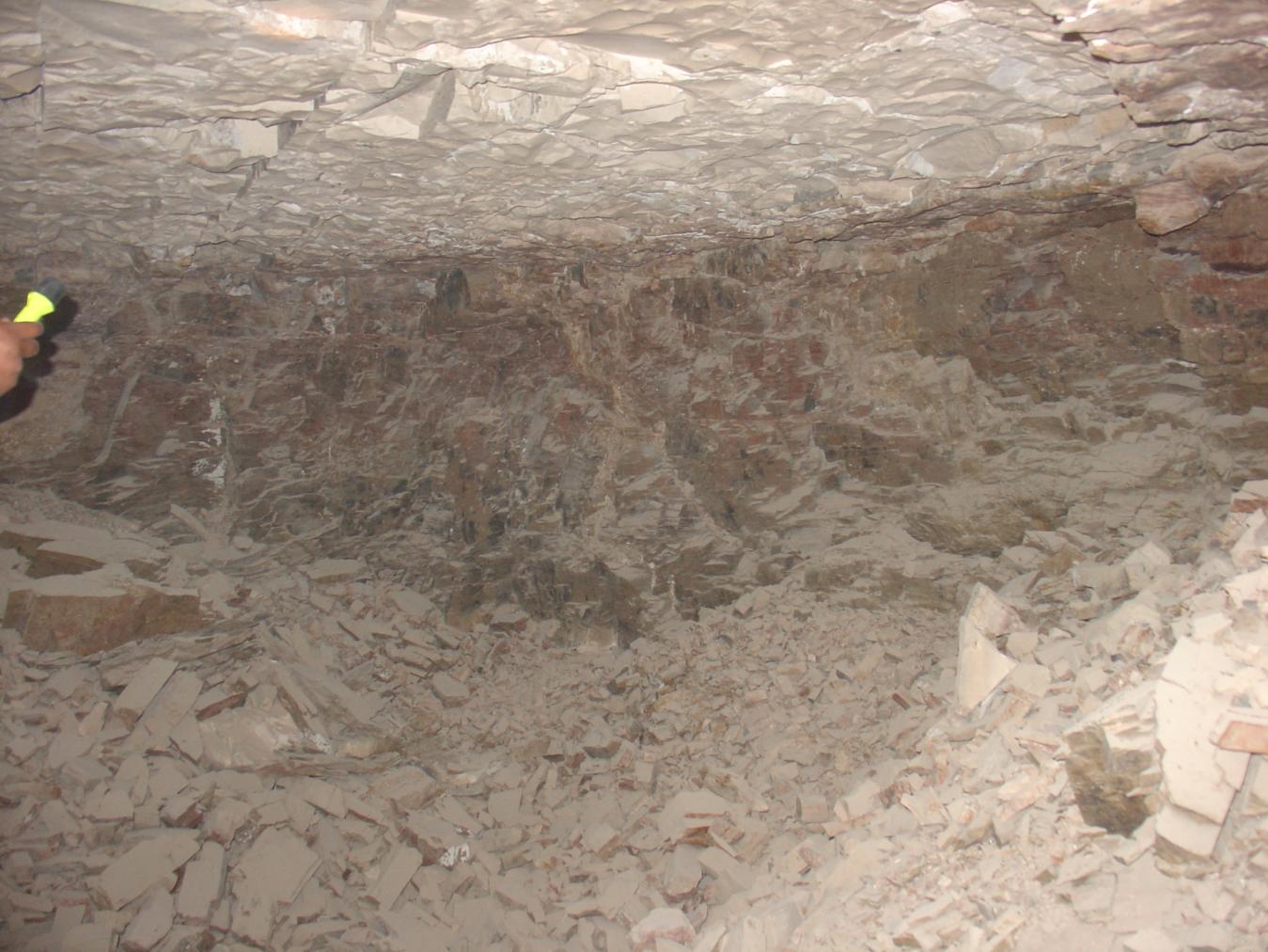

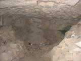

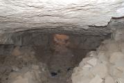

Chamber C
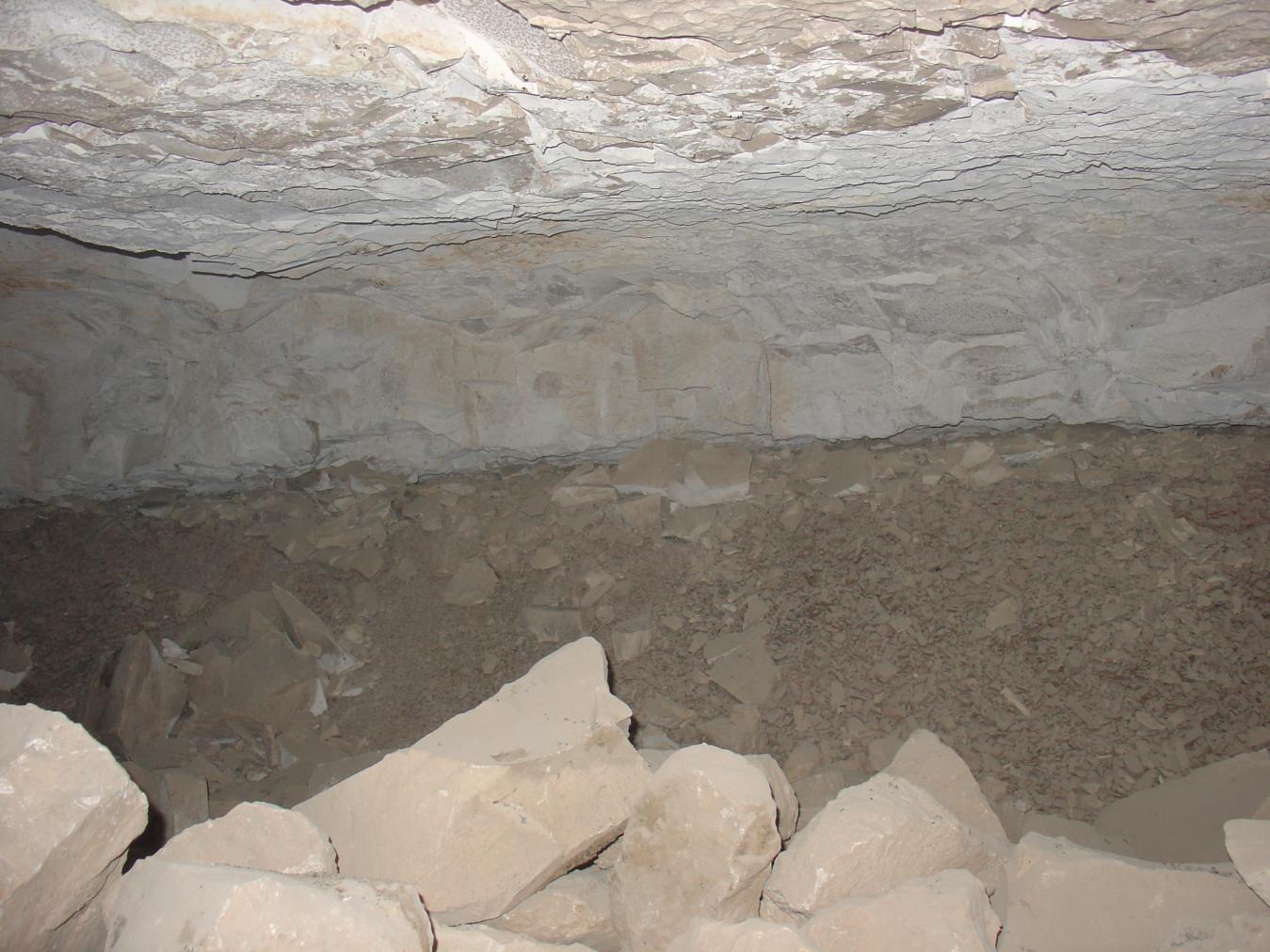
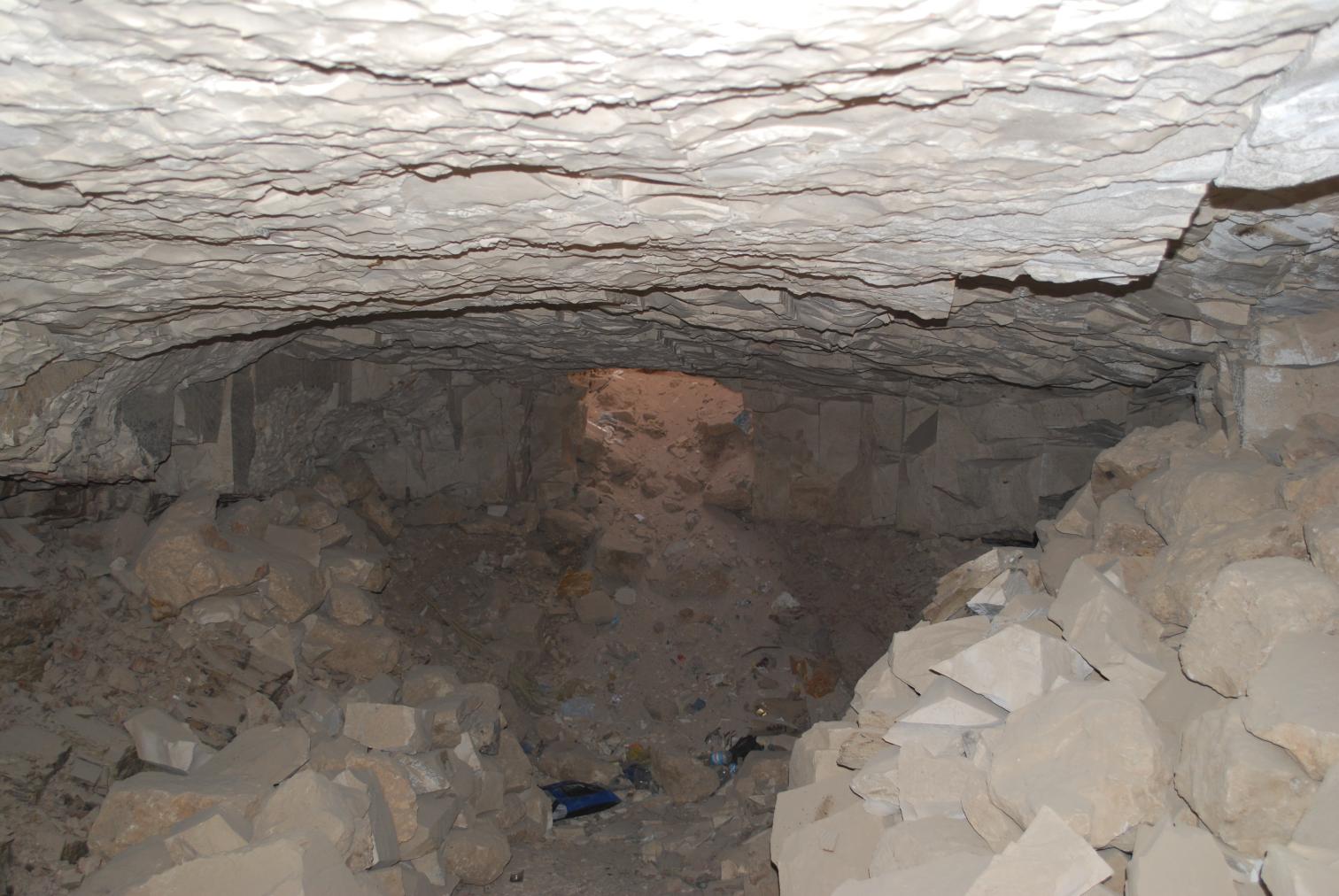
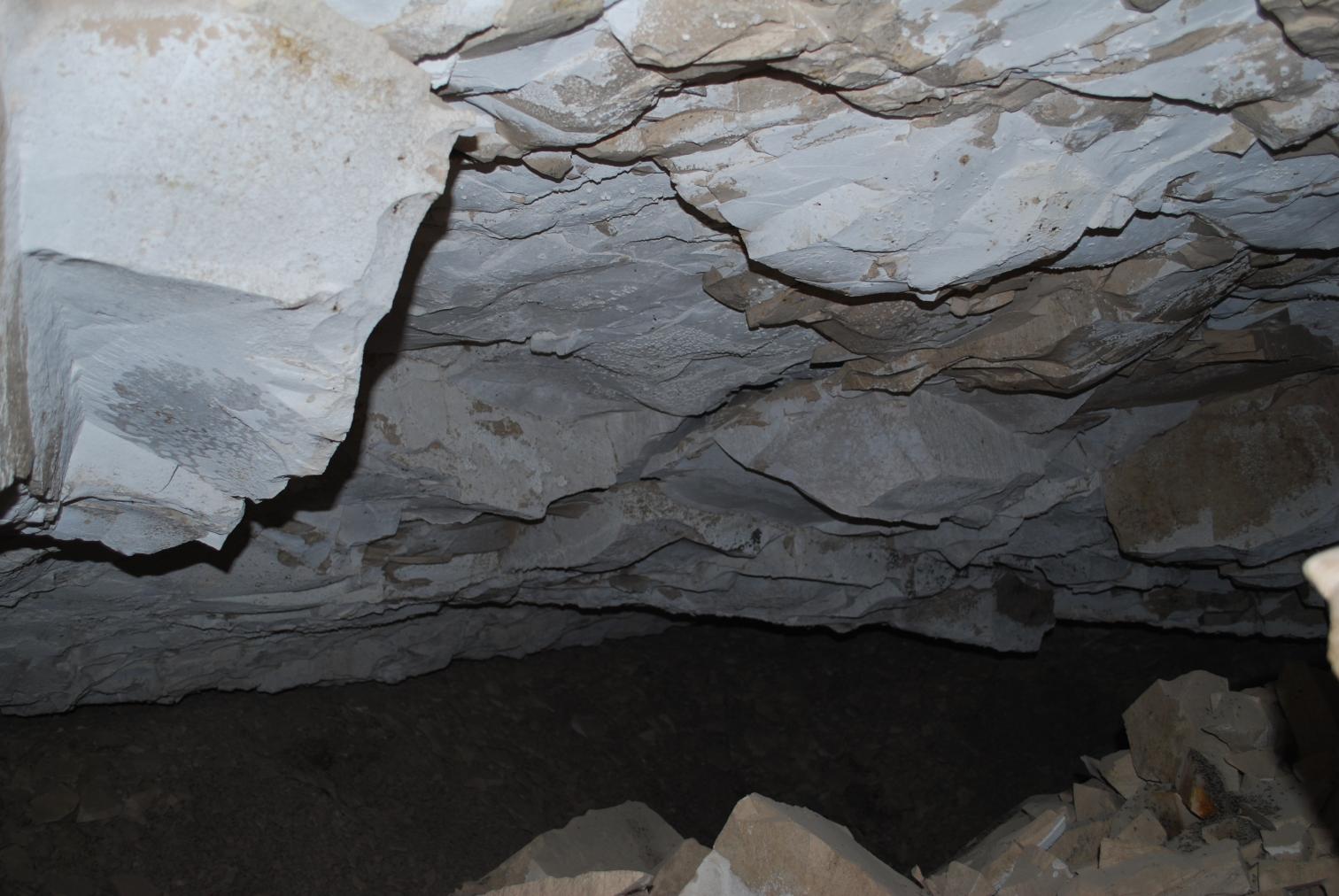
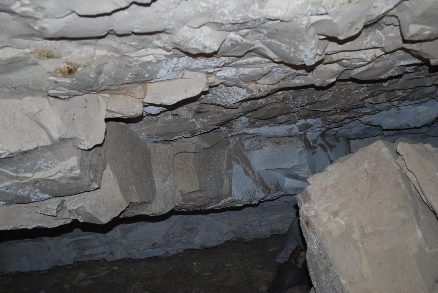
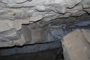
See entire tombA large rectangular undecorated chamber parallel to chamber B, and connected via a short, heavily damaged passageway. There is evidence of ceiling collapse in the center of chamber C.
About
About
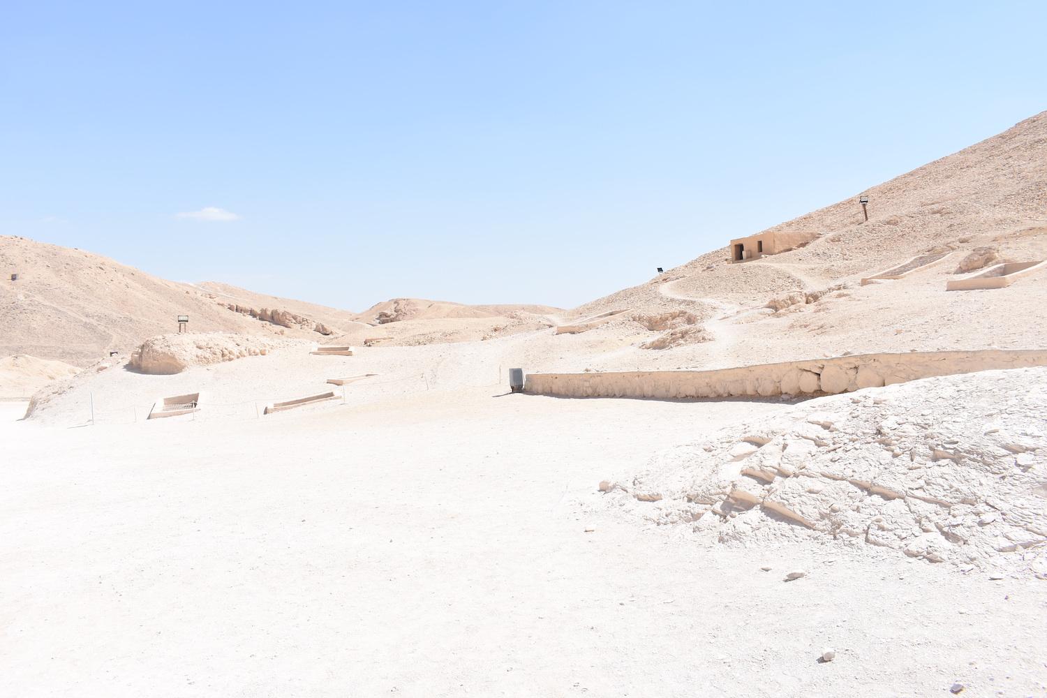
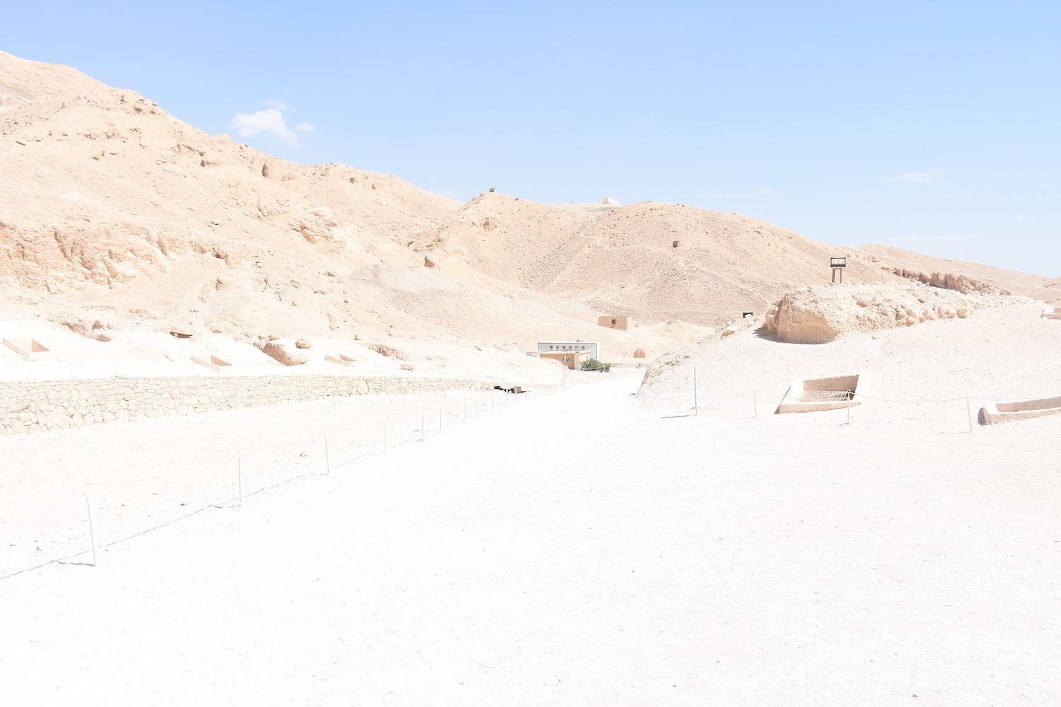
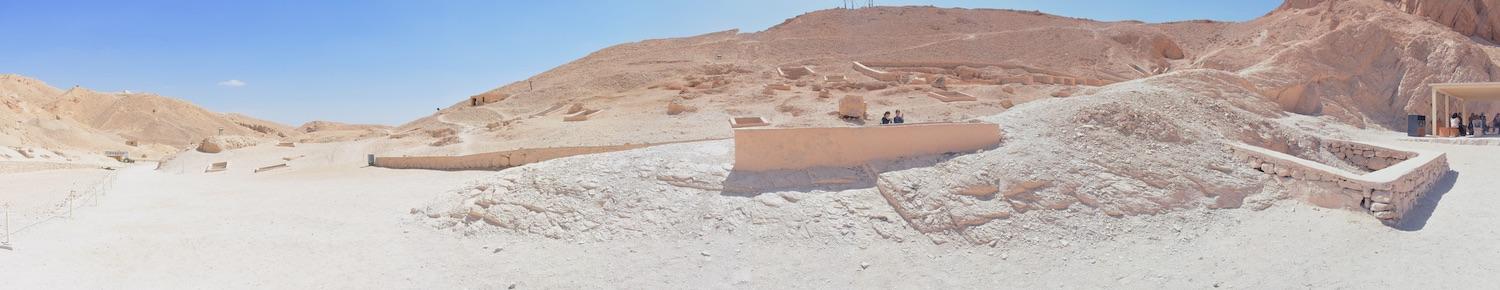
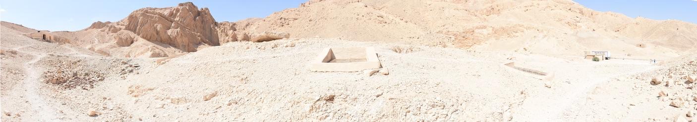
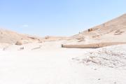
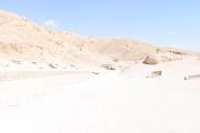
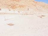
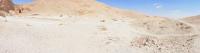
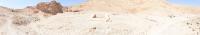
QV 20 is located on the south side of the main Wadi along the principal visitor path. It partially underlies QV 19. The tomb has two long, parallel chambers (B and C) with an original connecting passageway that is now almost destroyed due to the partial collapse of the interior wall. The deep shaft (A) has well cut hand- or footholds on one side and is covered by a modern masonry surround with cement plaster spanned by a metal grill.
Elizabeth Thomas described QV 20 as one of the largest 18th Dynasty shaft tombs with a well cut shaft and probable royal association. She speculated that Ernesto Schiaparelli and the Italian Archaeological Expedition began working there in 1903-1905, since she found few potsherds. The Franco-Egyptian Mission last cleared the tomb in 1986. During the course of their efforts, they noted that the precarious state of the walls and ceiling in the tomb prevented them from systematically clearing it in its entirety.
Site History
The tomb was constructed in the 18th Dynasty. It is unclear whether it was reused, as the tomb was not fully excavated due to the precarious state of the walls and ceiling.
Dating
This site was used during the following period(s):
Exploration
Conservation
Site Condition
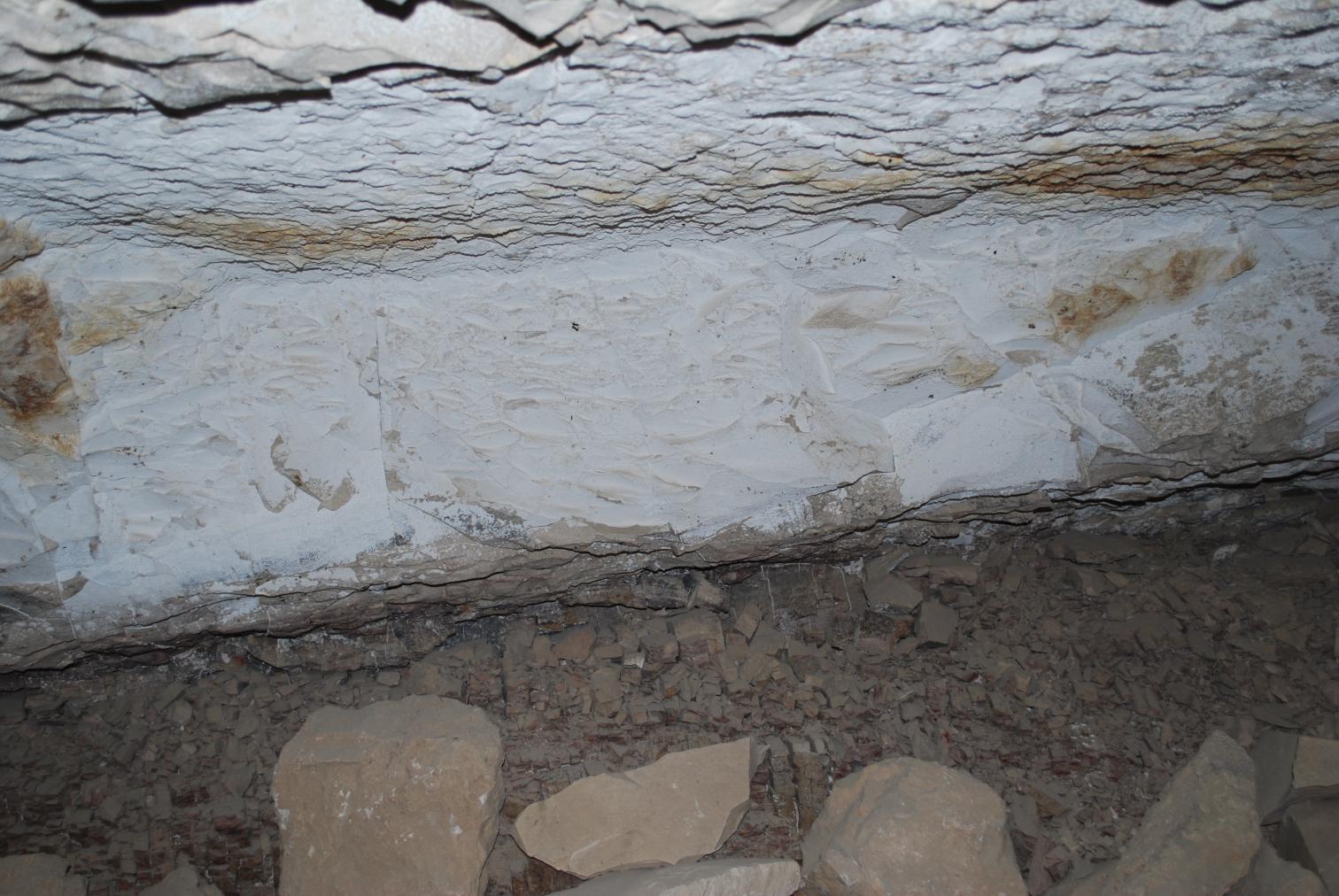
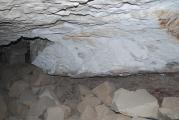
According to the GCI-SCA, the tomb is cut into rock of varying quality, comprising of shale and marl. The shale is highly fractured and collapsing into large piles. Large blocks of marl have also fallen from the ceiling and interior wall. Localized but substantial salt efflorescence is present on rock surfaces. Although no direct evidence of flood entry has been found, anecdotal evidence indicates severe flooding and resulting rock collapse. Despite the dramatic deterioration of the rock in the tomb, QV 20 is considered stable according to a geotechnical assessment conducted by Hamza Associates in December 2009, provided that floodwaters no longer enter the tomb.


Articles
Tomb Numbering Systems in the Valley of the Queens and the Western Wadis
Geography and Geology of the Valley of the Queens and Western Wadis
Bibliography
CNRS mission report: Centre national de la recherche scientifique (France). Rapport d'activité 1987-1988 URA no. 1064, 1987-1988.
Demas, Martha and Neville Agnew (eds). Valley of the Queens. Assessment Report. Los Angeles: The Getty Conservation Institute, 2012, 2016. Two vols.
Thomas, Elizabeth. The Royal Necropoleis of Thebes. Princeton: privately printed, 1966.