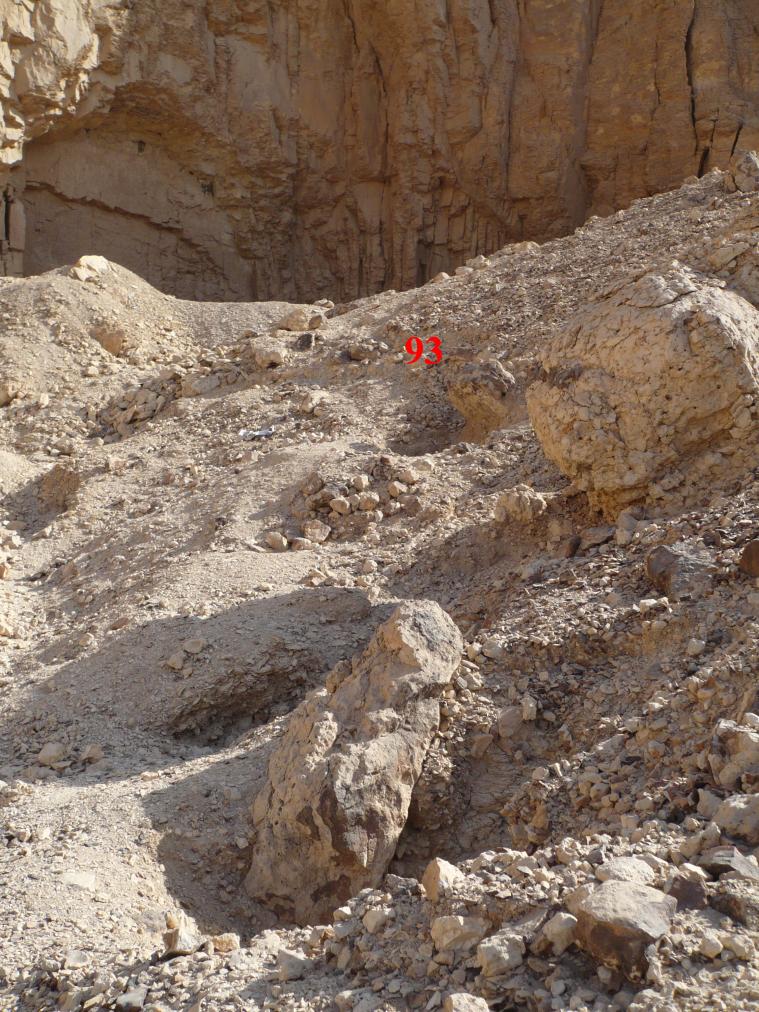
QV 93
Anonymous

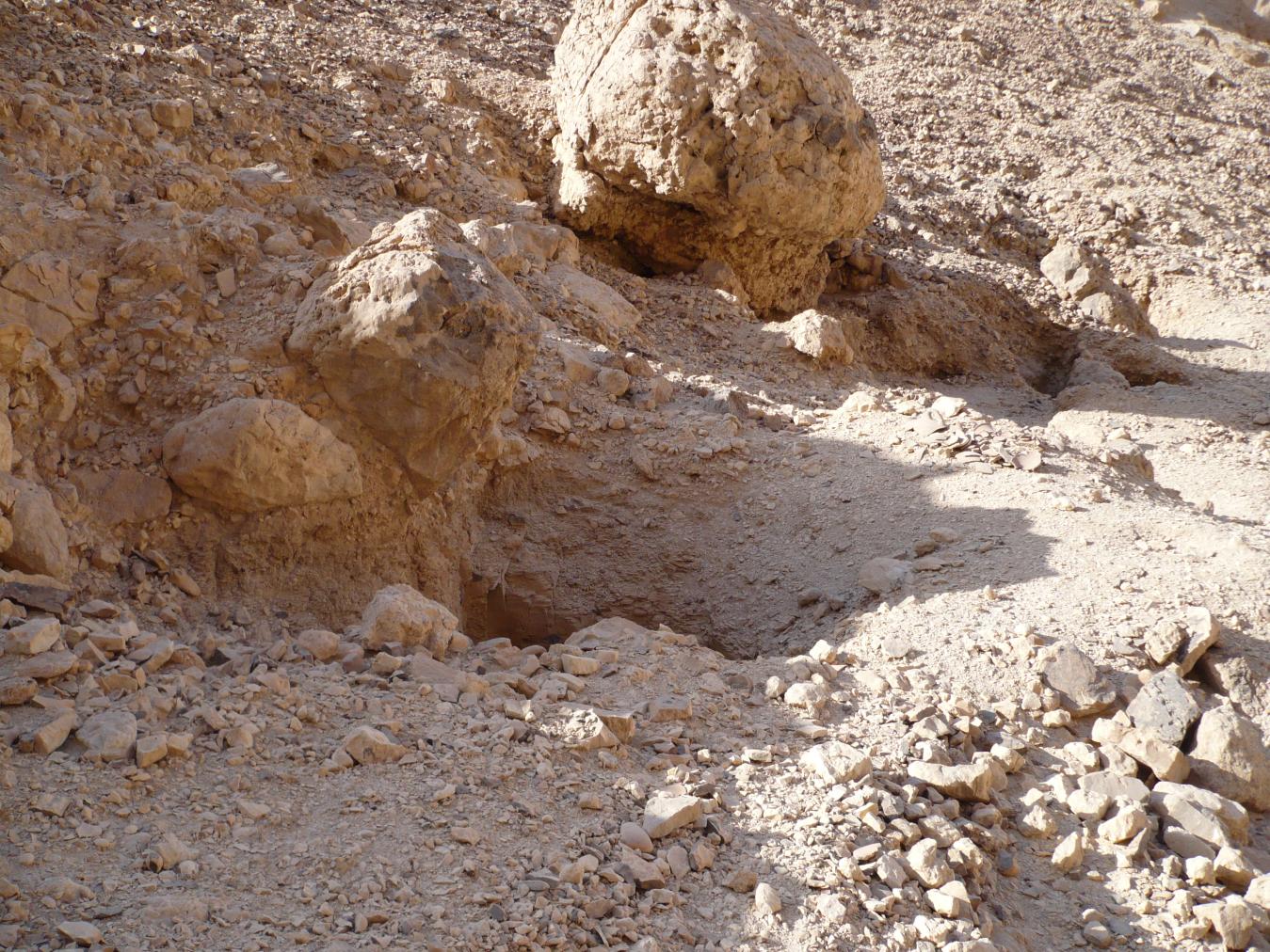
Entryway A
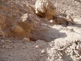
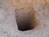
See entire tombA narrow vertical shaft that provides access to the tomb. At the bottom of the shaft is a ledge constructed of rough stones.


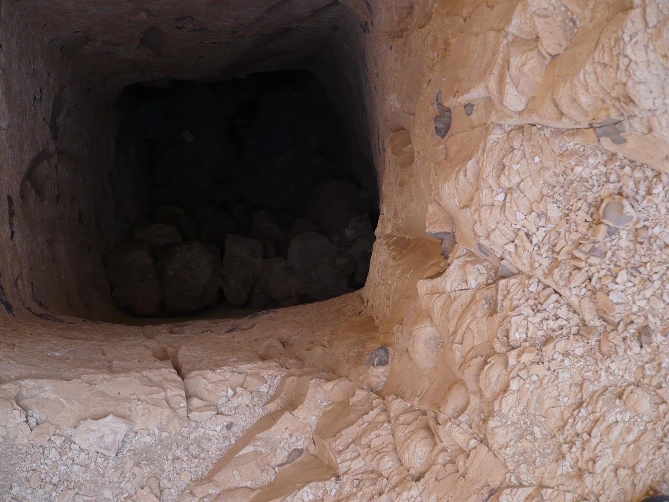
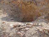

Burial chamber B
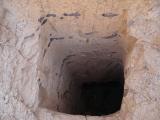
See entire tombA square, undecorated burial chamber that lies on axis with the tomb's entrance. The northeastern and southeastern sides of the chamber contain rubble. The walls are well-cut and the corners rounded.
Chamber plan:
SquareRelationship to main tomb axis:
ParallelChamber layout:
Flat floor, no pillarsFloor:
One levelCeiling:
Flat
About
About
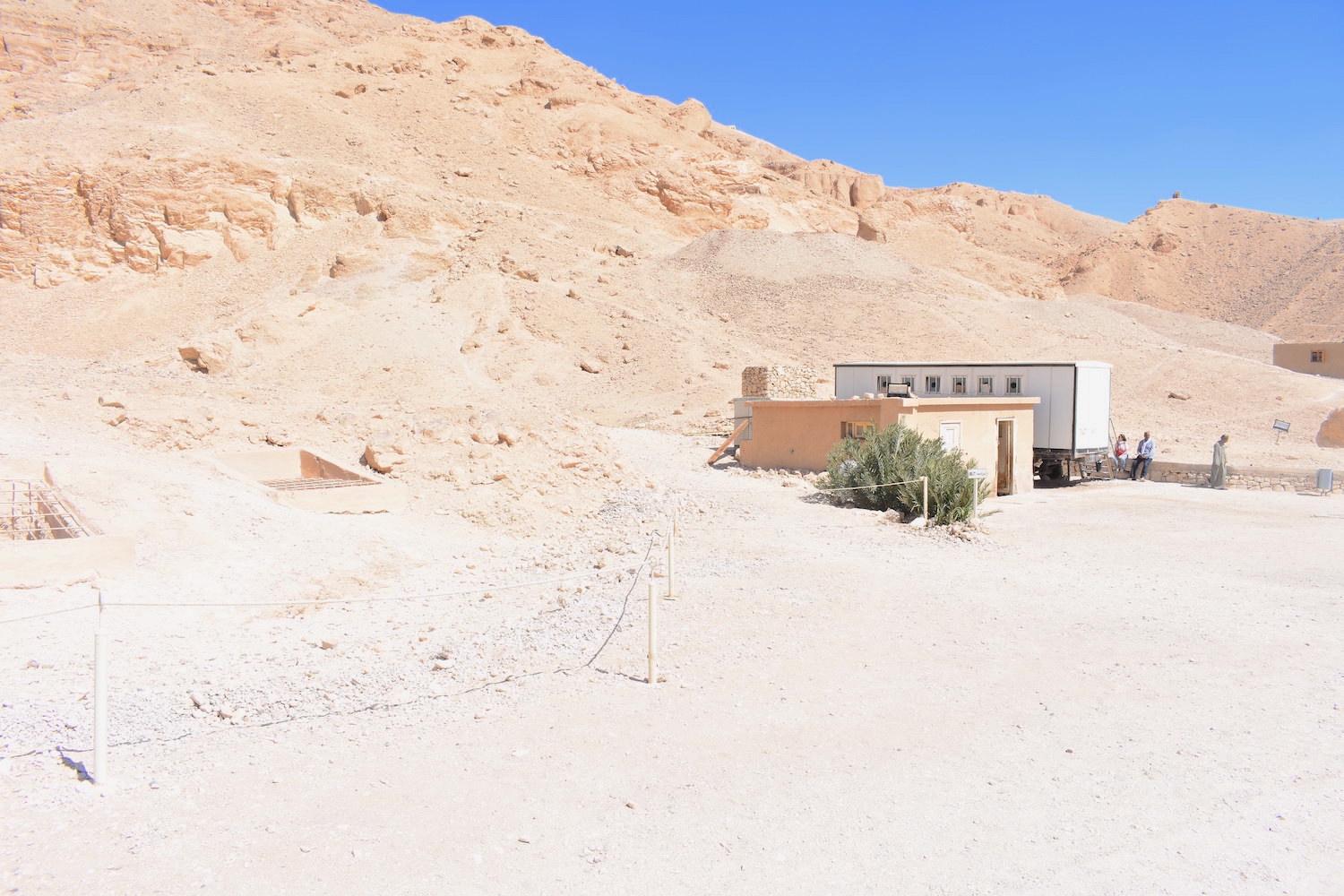
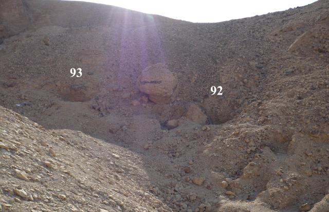
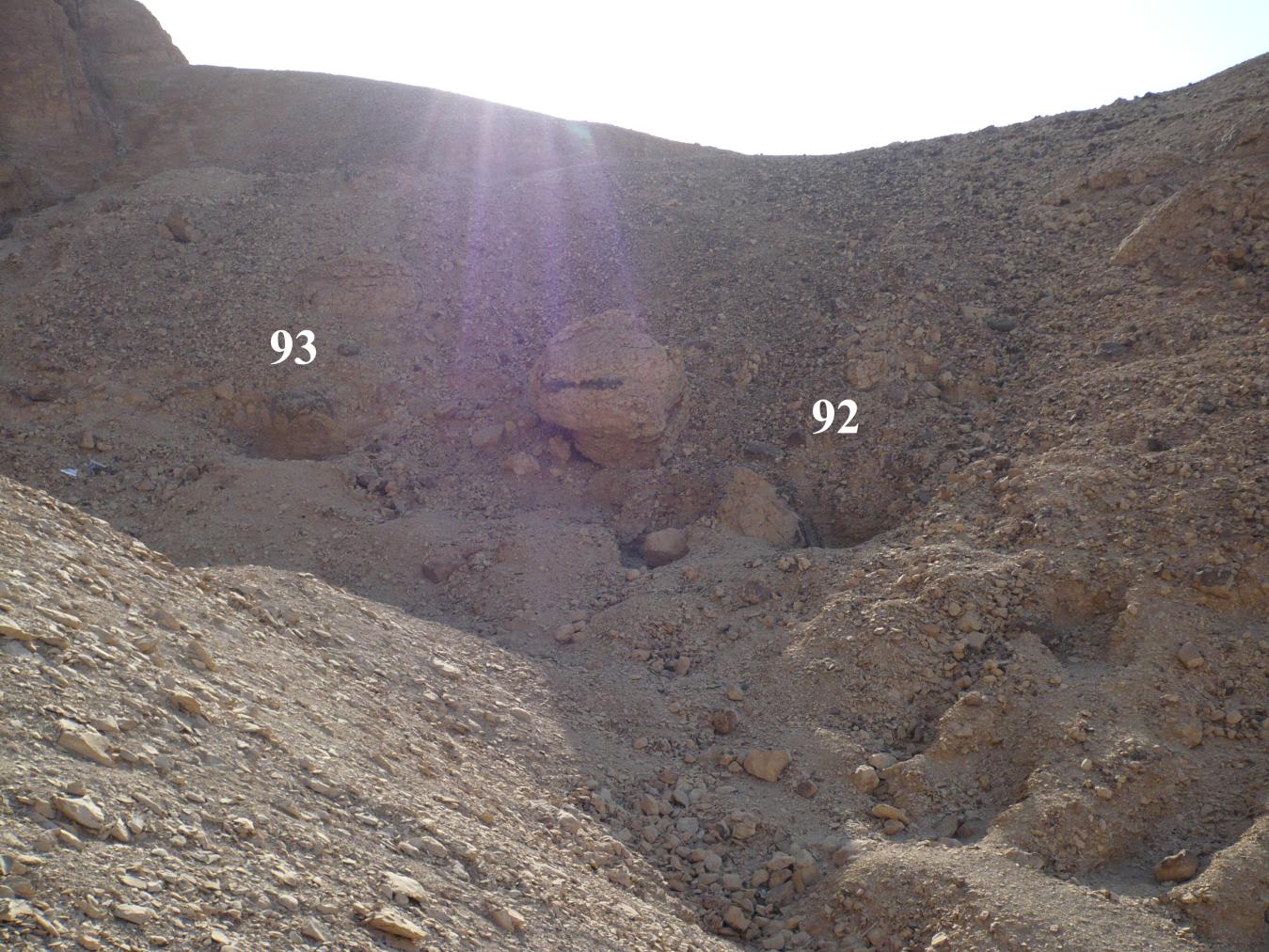
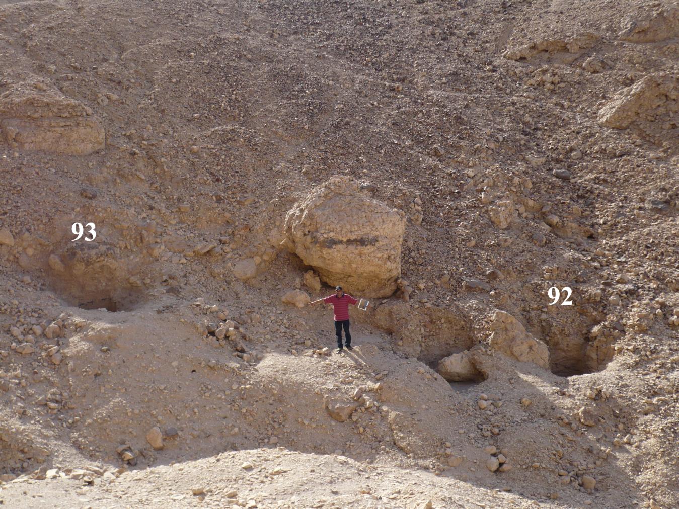
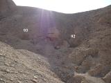
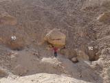
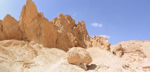
QV 93 is located towards the head of the Valley of the Rope, to the north beyond the hill behind Dayr al-Rumi. The tomb consists of a vertical shaft (A) leading to a square, undecorated burial chamber (B).
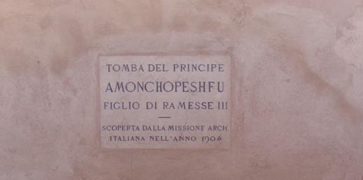
The tomb was discovered by Ernesto Schiaparelli and the Italian Archaeological Expedition in 1903-1905. It was surveyed by the Theban Mapping Project in 1981. The Franco-Egyptian Mission excavated the tomb in 1988-1990 and have speculated that it was carved during the beginning of the New Kingdom, possibly during the 18th Dynasty.
Site History
The tomb was constructed in the 18th Dynasty.
Dating
This site was used during the following period(s):
Exploration
Conservation
Site Condition
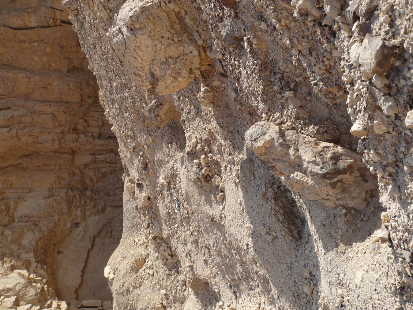
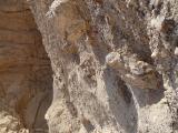
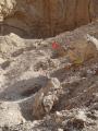
Given the relatively remote location and comparatively deep shaft, it was not possible for the GCI-SCA to assess the interior. However, the shaft itself seems to be in good condition, composed of high quality marl punctuated by occasional bands of chert nodules. The shaft is partially filled with debris resulting from upslope erosion and trash. Debris eroding from the slope above the tomb will gradually fill its shaft. Water also continues to infiltrate the tomb, due to the fact that it is located adjacent to a small, natural drainage path.
Articles
Tomb Numbering Systems in the Valley of the Queens and the Western Wadis
Geography and Geology of the Valley of the Queens and Western Wadis
Bibliography
Černý, Jarosłav, Christiane Desroches-Noblecourt and Marcel Kurz. Graffiti de la Montagne thébaine, I/1. Cartographie et étude topographique illustrée. Collection scientifique du CEDAE-CNRS. Cairo, 1969-1970.
Demas, Martha and Neville Agnew (eds). Valley of the Queens. Assessment Report. Los Angeles: The Getty Conservation Institute, 2012, 2016. Two vols.
Kurz, Marcel. Graffiti de la montagne thébaine: II, 4: plans de position. Cairo: Centre d'études et de documentation sur l'ancienne Egypte, 1973.
Leblanc, Christian and Magdi Mohamed Fekri. L’exploration archéologique des vallées laterales de tA st nfrw. Atti del Sesto Congresso Internazionale di Egittologia. Vol. 1. Turin: International Association of Egyptologists, 1993: 259-268.