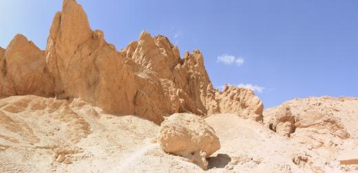
QV 37
Anonymous
Entryway A
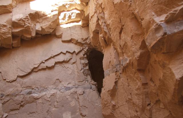
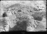
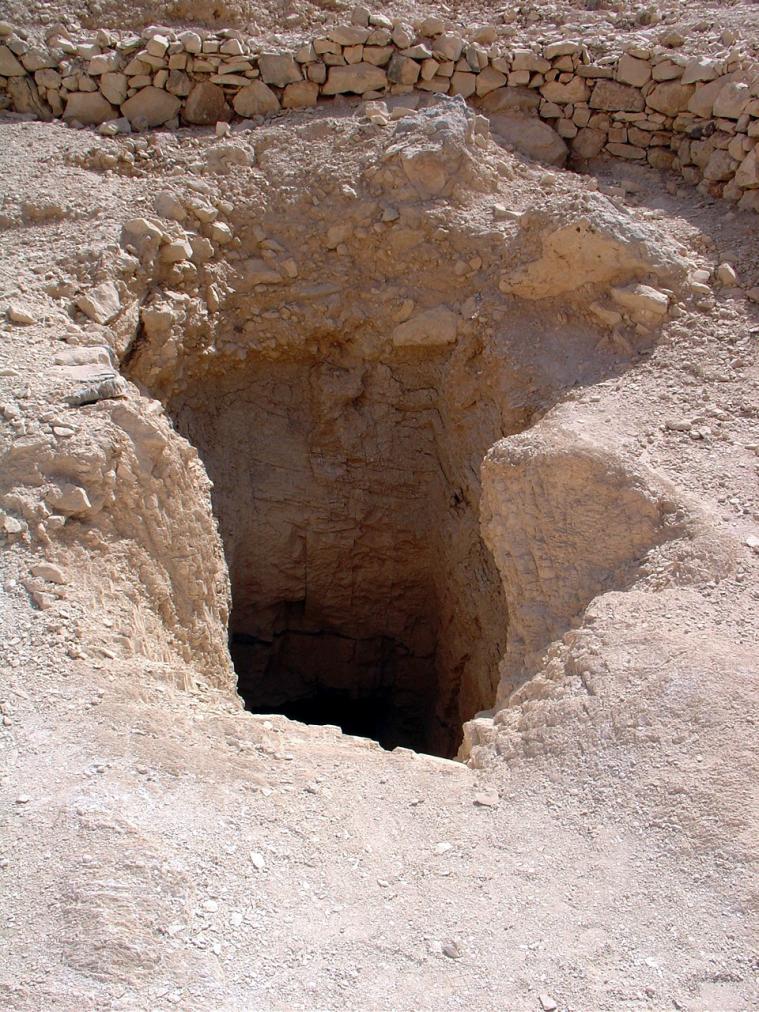
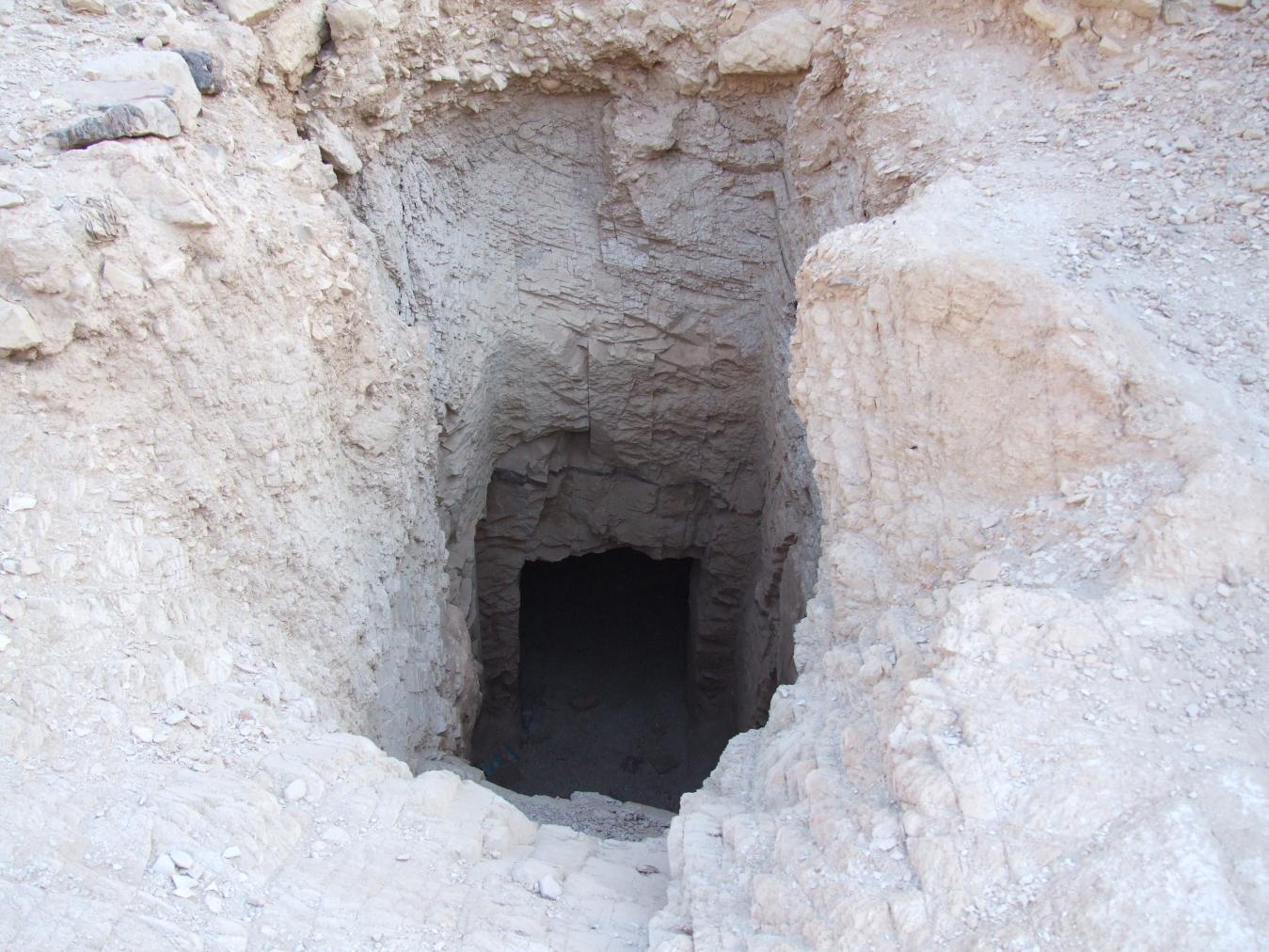
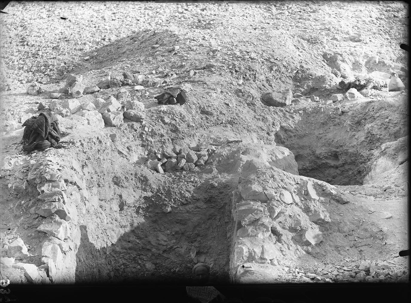
See entire tombThe shaft entrance has no surround and is adjacent to that of QV 36.
Chamber B
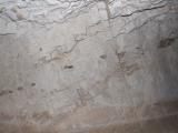
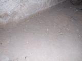
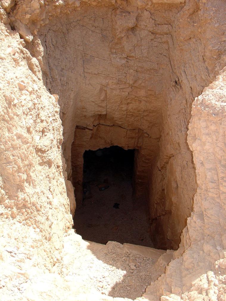
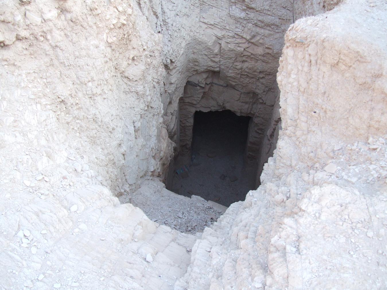
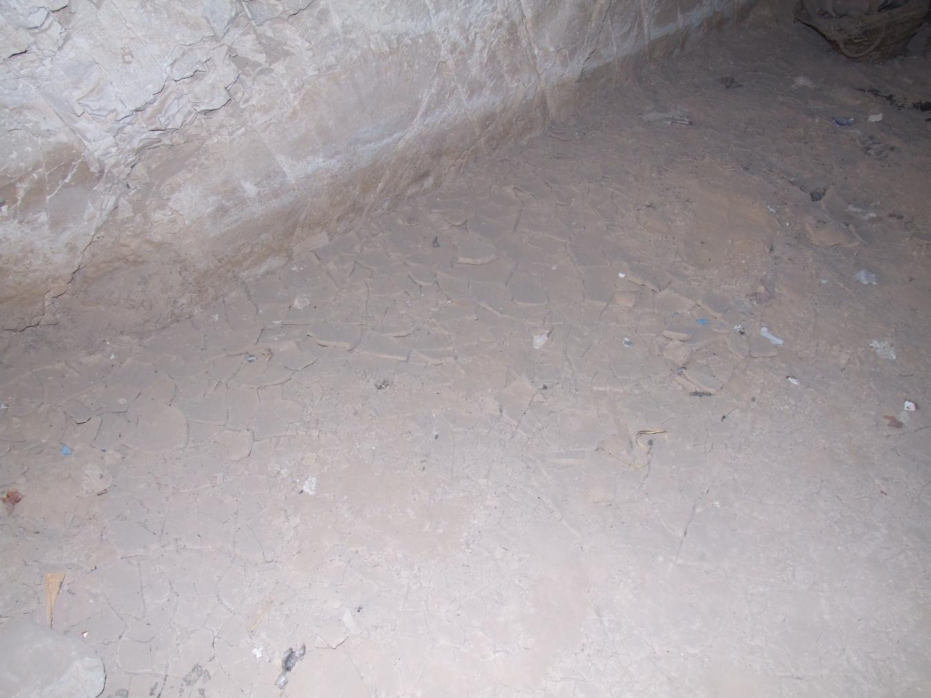
See entire tombA large, roughly cut rectangular undecorated chamber with a break in the wall in the northeast corner which leads into QV 36. Dried mud on the floor surface and base of the walls indicate flooding.
About
About
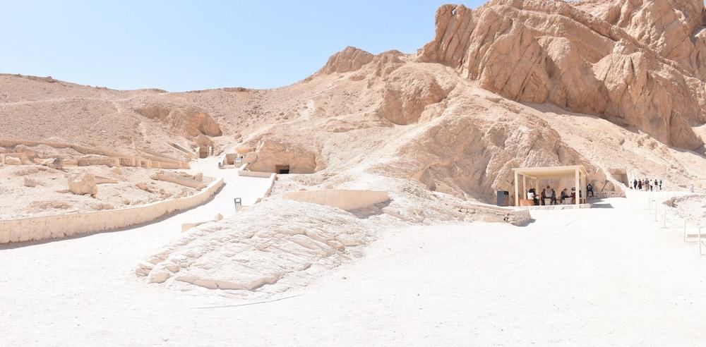
Single-chambered QV 37 lies halfway up the slope on the south side of the main Wadi, between later chamber tombs QV 36 and QV 38. Two breaks in the adjoining wall of QV 36 provide access to the tomb. The shaft entrance (A) has no surround and is adjacent to that of QV 36. Elizabeth Thomas mentions the proximity of the entrance to that of QV 36, and that the two tombs were discovered together by the Italian mission in 1903. She notes that only 28 cm of rock separate the two entrances and that Ballerini interpreted the larger break in the wall as the work of thieves, having found no original artifacts. The tomb was last cleared by the Franco-Egyptian team in 1985.
Site History
Dating
This site was used during the following period(s):
Exploration
Conservation
Site Condition
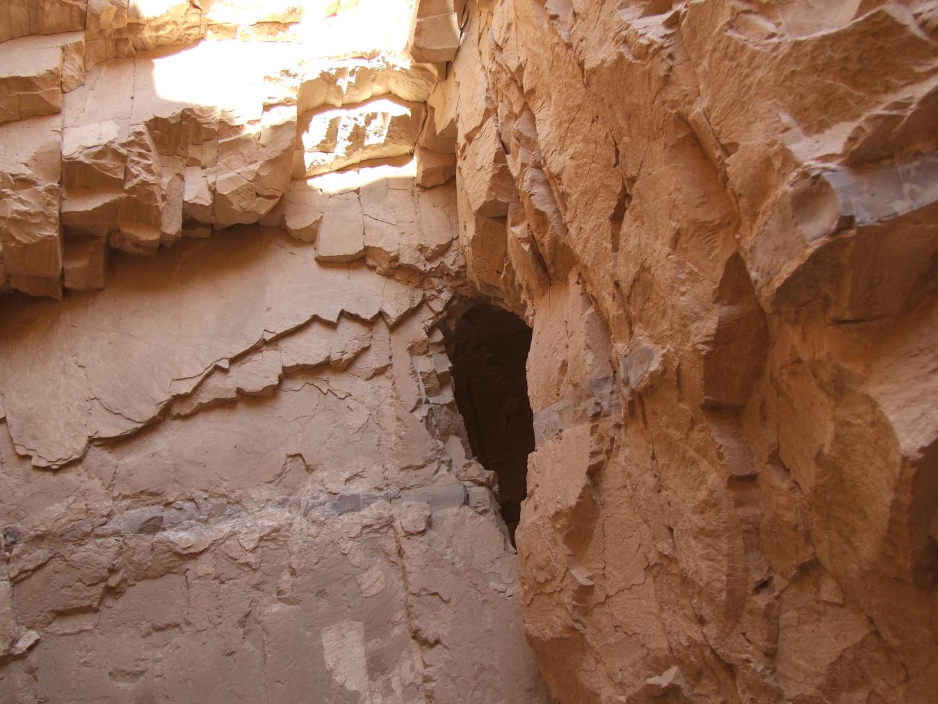
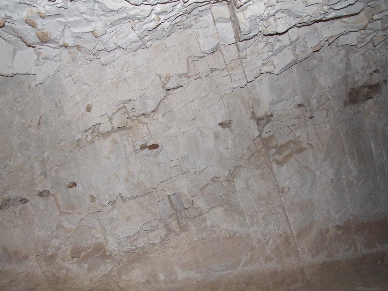
The tomb is in stable condition, despite being surrounded by an area with a relatively high concentration of shale and related deterioration manifested in many nearby tombs. The tomb itself is excavated into marl with regularly spaced vertical joints. The walls of the shaft (A) shows signs of weathering, with areas of friability and loss. There are localized wasps' nests on the surface of the rock in the chamber. Dried, cracked mud on the floor of the tomb and adhered dirt and staining at the base of the walls indicate past flooding. Water infiltration from the open shaft is the greatest concern in this tomb. According to the GCI-SCA, the tomb should be protected from entry of water, debris, and animals with a shaft plug. This would also serve to stabilize the fragile area of rock between the shaft and the main chamber of QV 36.


Articles
Tomb Numbering Systems in the Valley of the Queens and the Western Wadis
Geography and Geology of the Valley of the Queens and Western Wadis
Bibliography
Demas, Martha and Neville Agnew (eds). Valley of the Queens. Assessment Report. Los Angeles: The Getty Conservation Institute, 2012, 2016. Two vols.
Leblanc, Christian. Ta set nefrou: une nécropole de Thèbes-ouest et son histoire, 1: géographie- toponymie: historique de l'exploration scientifique du site. Cairo: Nubar Printing House, 1989.
Thomas, Elizabeth. The Royal Necropoleis of Thebes. Princeton: privately printed, 1966.

