KV 59
Unknown

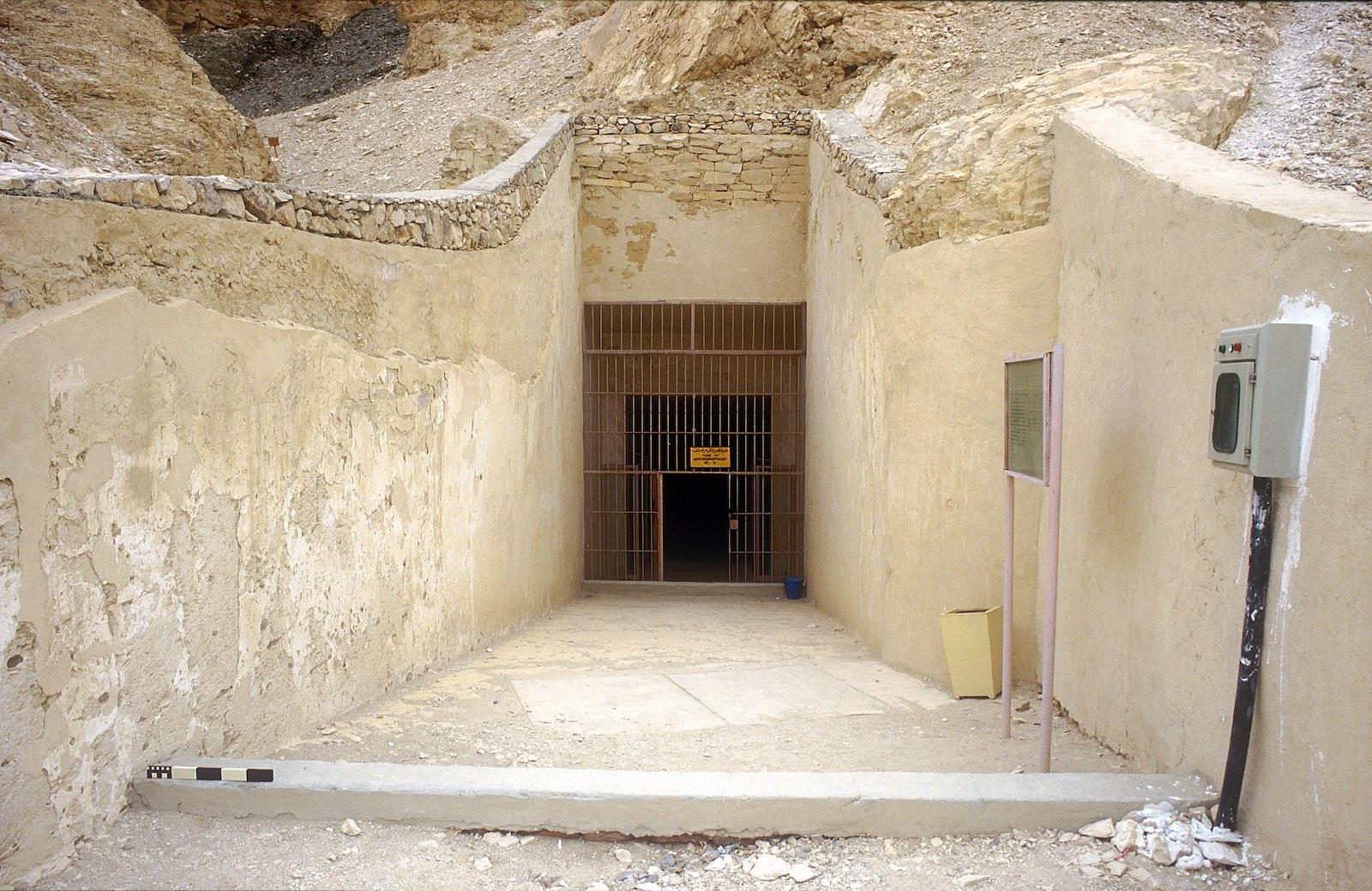
Entryway A
See entire tombThe tomb is a small pit and no reference to its clearance or contents is known.
About
About
KV 59 is located in the south branch of the southwest Wadi. This is a small pit tomb and no reference to its clearance or contents is known.
Site History
There is no information concerning the history, excavation or discovery of the tomb. The site may have been discovered by Carter. It was known to James Burton and Lefébure.
Dating
This site was used during the following period(s):
Exploration
Conservation
Site Condition
The tomb is inaccessible and filled with debris.
Articles
Anatomy of a Tomb: Ancient and Modern Designations for Chambers and Features
Bibliography
Helck, Wolfgang. Königsgräbertal. Wolfgang Helck, Eberhart Otto and Wolfhart Westendorf (eds.). Lexikon der Ägyptologie. 7 vols. Wiesbaden, 1972-1992. 3: 523.
Pinch-Brock, Lyla. Collisions, Abandonments, Alterations, Tomb Commencements/Pits, and Other Features in the Valley of the Kings. In: Richard H. Wilkinson and Kent R. Weeks (eds.). The Oxford Handbook of the Valley of the Kings. Oxford: Oxford University Press, 2016. Pp. 117-134.
Reeves, Carl Nicholas. Valley of the Kings: The Decline of a Royal Necropolis (= Studies in Egyptology). London: KPI, 1990. Pp. 171.
Thomas, Elizabeth. The Royal Necropoleis of Thebes. Princeton: privately printed, 1966. P. 141.
Weeks, Kent R. (ed.). Atlas of the Valley of the Kings (=Publications of the Theban Mapping Project, 1). Cairo: American University in Cairo Press, 2000. Map sheet 68.
Wilkinson, Richard H. and Carl Nicholas Reeves. The Complete Valley of the Kings. London: Thames and Hudson, 1996. Pp. 187.