KV 29
Unknown
Entryway A
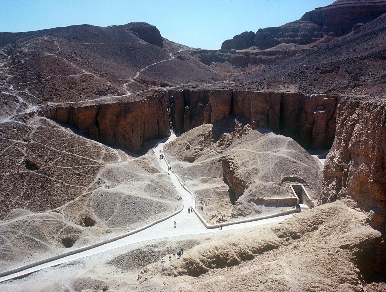
See entire tombThe tomb consists of nothing more than the roughly cut entry shaft.
About
About
KV 29 is located in the southwest Wadi. The tomb consists only of a rectangular entry shaft. It is inaccessible, and no details about its plan or contents are available.
Site History
Arthur Weigall reported that the tomb is uninscribed and probably consists of only one chamber.
Dating
This site was used during the following period(s):
Exploration
Conservation
Site Condition
The tomb has not been excavated.
Articles
Anatomy of a Tomb: Ancient and Modern Designations for Chambers and Features
Bibliography
Helck, Wolfgang. Königsgräbertal. Wolfgang Helk, Ebrnart Otto and Wolfhart Westendorf (eds.). elck, Evbermnart Lexikon der Ägyptologie, 3. Wiesbaden: Harrassowitz, 1980. Pp. 520.
Reeves, Carl Nicholas. Valley of the Kings: The Decline of a Royal Necropolis (= Studies in Egyptology). London: KPI, 1990. Pp. 166.
Thomas, Elizabeth. The Royal Necropoleis of Thebes. Princeton: privately printed, 1966. P. 161.
Weeks, Kent R. (ed.). Atlas of the Valley of the Kings (= Publications of the Theban Mapping Project, 1). Cairo: American University in Cairo Press, 2000. Map sheet 47.
Wilkinson, Richard H. and Carl Nicholas Reeves. The Complete Valley of the Kings. London: Thames and Hudson, 1996. P. 183.


