Project History
In 1978, Dr. Kent Weeks established a project to conduct a comprehensive survey of the tombs and monuments of the West Bank at Luxor and to build a catalog of the archaeological remains of the region. Affiliated with the University of California at Berkeley, where Dr. Weeks was a member of the faculty, the project was known as The Berkeley Map of the Theban Necropolis.
The project conducted its first season in March and June of 1978 with a team of eight consisting of Dr. Weeks, a chief surveyor, three assistant surveyors and architects, a cartographer, an Egyptologist, and an inspector of antiquities from the Egyptian Antiquities Organization (the predecessor of the Supreme Council of Antiquities).
It was during the first season that the survey grid, upon which all future work has been built, was laid out. This grid was based on the existing grid established at the Temple of Karnak. During this season, eight tombs in the Valley of the Kings were surveyed (KV1, KV2, KV3, KV4, KV5, KV6, KV46 and KV55).
The second season of work (1979) on the Berkeley Map of the Theban Necropolis focused on obtaining complete aerial photographic coverage of the entire necropolis. Another ten tombs in the Valley of the Kings were surveyed and planned and the survey grid network was extended north and south to the limits of the Theban necropolis.
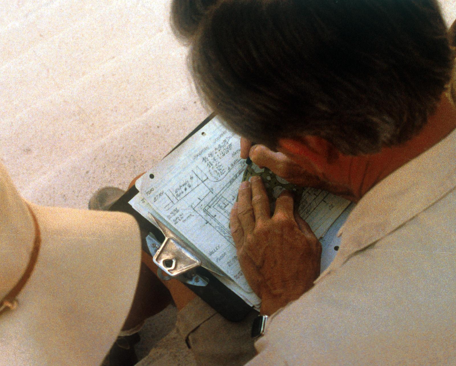
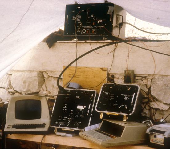
In 1980 the remainder of the accessible tombs in the Valley of the Kings were surveyed and planned and the necropolis-wide grid network was completed. Recent technological advances in computer technology allowed the team to begin entering survey data into a computer from which plans and axonometric drawings could be generated. During this season, more aerial photography was undertaken to acquire oblique aerial photographs that complemented the vertical shots taken in 1979. Work also began on establishing a standard for recording the English and Arabic terms for site types and geographic features and also for place and site names.
During the 1981 season, the name of the project was changed to the Berkeley Theban Mapping Project. Concomitantly, the focus of the project widened from the Valley of the Kings to include the Valley of the Queens. All accessible tombs in the Valley of the Queens were mapped, as well as all archaeological features of interest (shrines, workers' huts, staircases etc.) in the area between the Valley of the Queens and the Valley of the Kings. The survey work continued to extend the necropolis-wide traverse to the limits of the archaeologically relevant West Bank area. Work also continued on developing the computer programming for the preparation of tomb plans and axonometric drawings as did the effort to complete the record of toponymy of the West Bank.
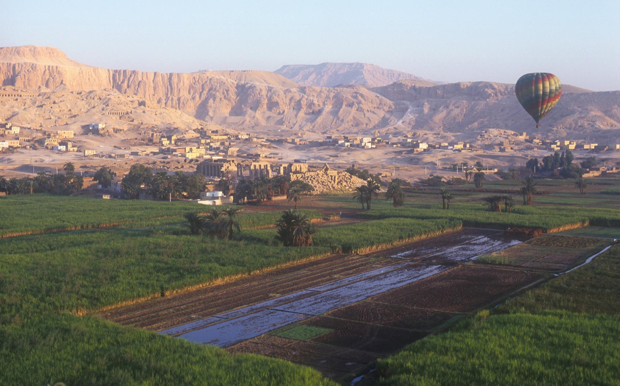
In 1982, during its fifth season of work, the Berkeley Theban Mapping Project introduced hot-air balloons to Egypt for the first time as part of its aerial survey.
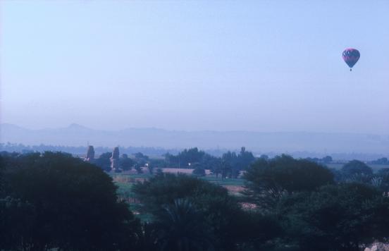
This allowed the team to obtain low-level photographs and, at the same time, to explore the numerous wadis and cliff faces in the necropolis for previously unrecorded archaeological features. On the ground, work concentrated on establishing survey points in the valleys south and southwest of the Valley of the Queens and on planning the thirty-nine pit and cliff tombs located in these areas.
Between 1983 and 1987, the Berkeley Theban Mapping Project conducted a series of short field seasons whose purpose was to recheck and add to the survey notes of the Valley of the Kings and the Valley of the Queens tombs. Some geophysical exploration was also conducted to test the usefulness of various geophysical techniques for locating subterranean anomalies, such as "lost" tombs. Testing focused in areas of the Valley of the Kings where touristic development had been proposed. It was at this time that the exact location of KV 5 was explored and the entrance to the tomb was uncovered.
In 1988 Dr. Weeks left Berkeley to be closer to the field on a year-round basis, becoming professor of Egyptology at the American University in Cairo. The name of the project changed to its current one: Theban Mapping Project.
Between 1989 and 1997 project work focused on KV 5. The first two chambers were cleared in 1994 and a large number of rear chambers and corridors were located in KV 5 in 1995. The discovery that KV 5 was much larger than previously believed received extensive news coverage all over the world, even becoming the cover story on the best-selling issue of Time magazine that year.
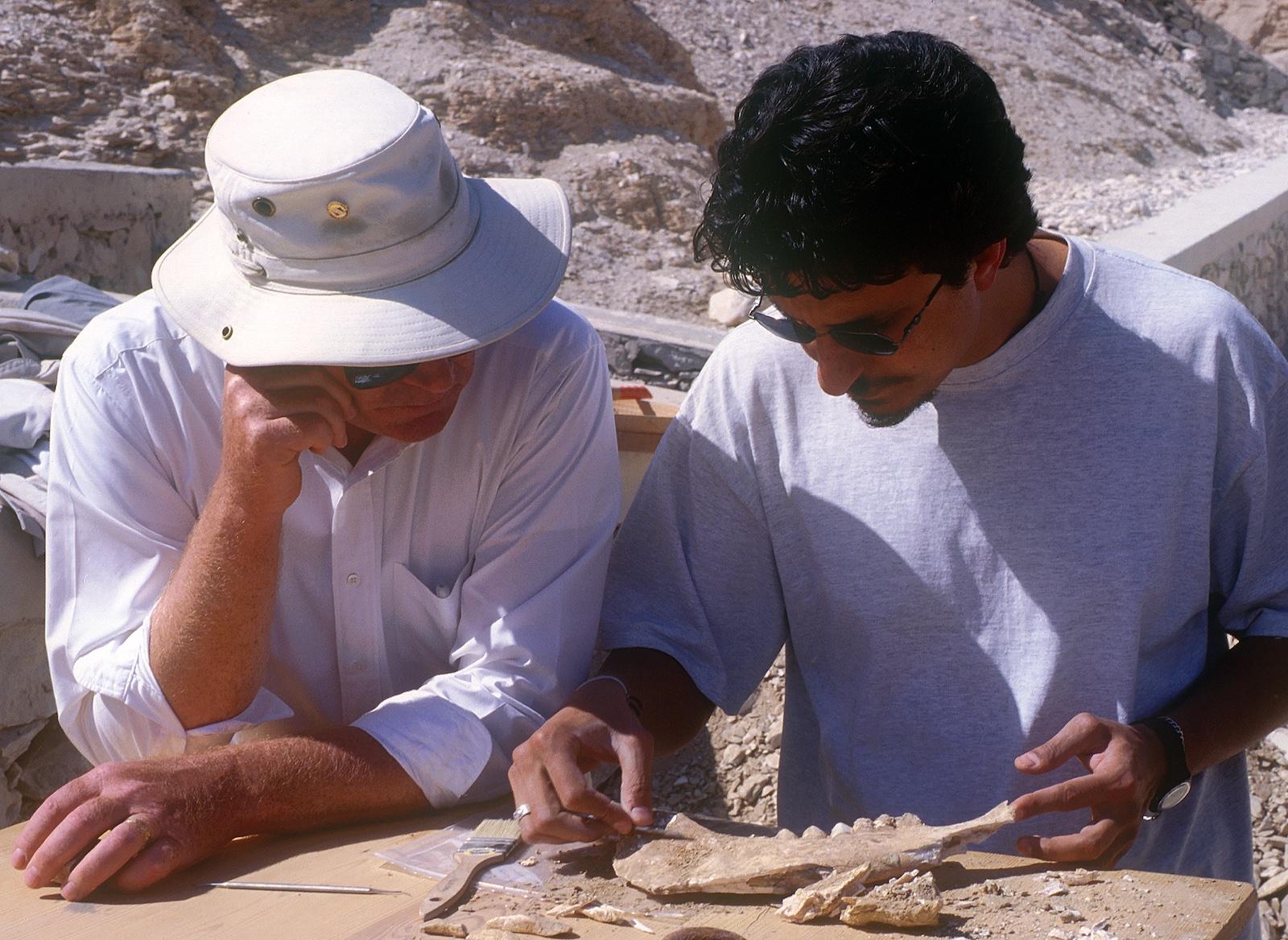
In 1996 other sets of corridors and side chambers were found, bringing the total number of chambers and corridors located by 1997 to 108. During the excavation of these chambers, drawings were made of the inscribed walls in KV 5 and of important objects recovered.
Details of all the material recovered and excavated from KV 5 were recorded on analysis forms and conservation and stabilization of the walls and objects was carried out. The excavation of KV 5 continues today.
In 1996 the Theban Mapping Project began to stabilize KV 5 to withstand the weight of the overlying bedrock and flooding. A team of mining, structural and electrical engineers as well as geologists, hydrologists and rock mechanics experts was consulted for advice. These specialists conducted extensive studies of KV 5 and the hillside into which it was dug. Between 1996 and 2001 rock bolts and ceiling supports were installed in KV 5 and the pillars reconstructed and strengthened. Natural fissures in the hillside above KV 5 were filled to prevent rainwater entering the tomb.
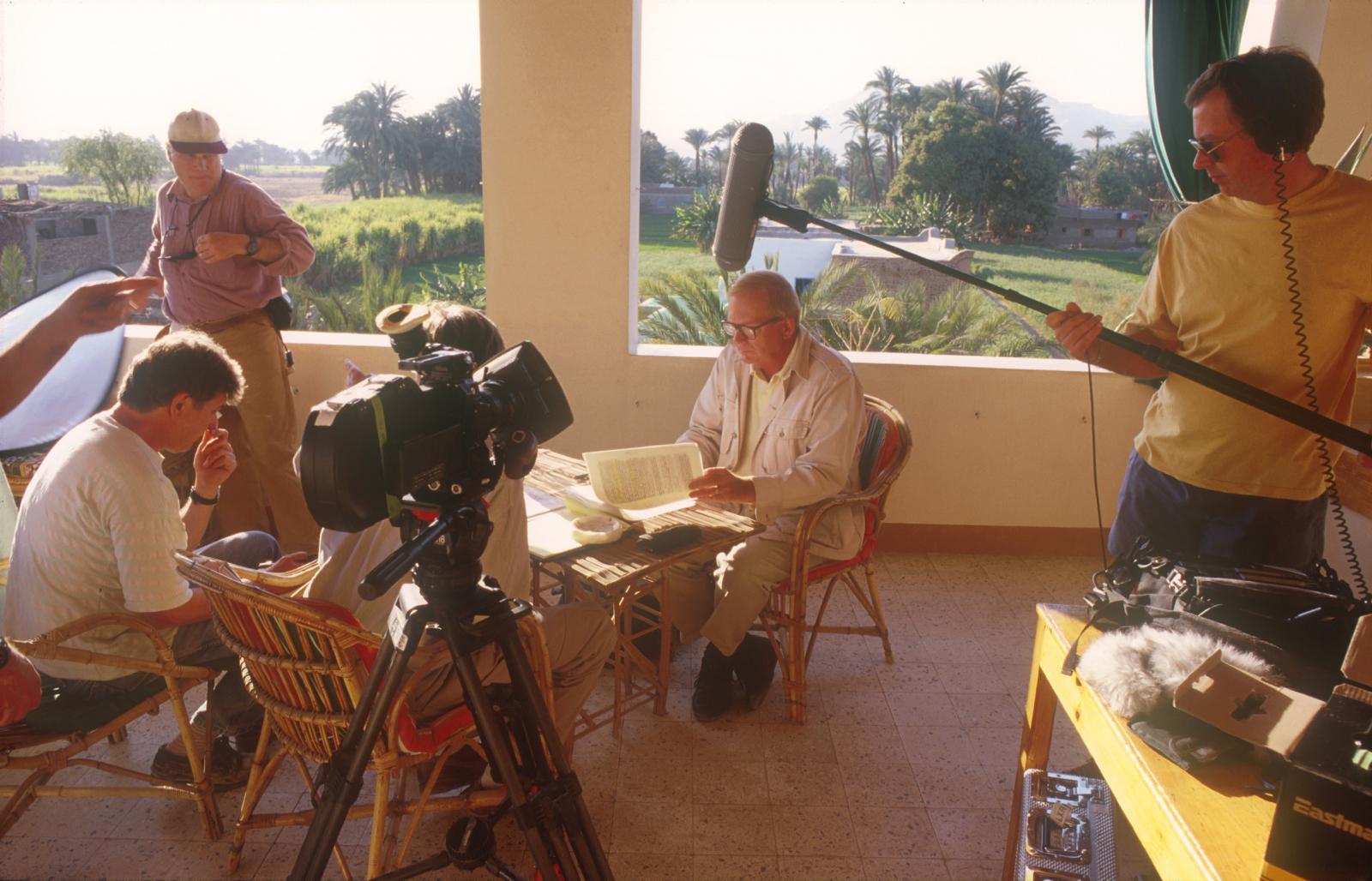
A more intensive phase of photographic survey continuing the Theban Mapping Project's earlier photographic work was undertaken in 1996. Extensive photographic recording was carried out within the tombs in the Valley of the Kings, including KV5. Additional aerial shots were taken from hot-air balloons to supplement earlier work in this area and collection of historical imagery of the Valley and other areas of the West Bank was started.
The Theban Mapping Project began development of archaeological and image databases of pre-Islamic archaeological sites on the West Bank of Luxor. By 1997, the databases were ready and researchers in the Theban Mapping Project's offices in Cairo were entering information about the sites, including their archaeology, history, exploration and conservation. This research and data entry continues today.
In 1997, the Theban Mapping Project's first website kv5.com was launched, giving access to information about Theban Mapping Project work in the Valley of the Kings and elsewhere on the Theban West Bank. The information was accompanied by images, QTVR's and other illustrations. The site continued to be regularly updated after its launch with new stories, progress reports on the work of the Theban Mapping Project and foreign-language translations of specific areas of the site.
During 1999 and 2000, survey work on the West Bank continued with the extension of survey lines to the edge of the cultivation in order to take survey readings at approximately two dozen New Kingdom memorial temples, enabling the Theban Mapping Project to locate them and their axes and orientations precisely.
In 2000, the long-awaited publication the Atlas of the Valley of the Kings (a collection of 72 sheets of maps and tomb plans based on the Theban Mapping Project surveys of the Valley) was published. During the same year, a preliminary report on the excavation work in KV5 appeared. The report documented the clearance of the tomb and the recording of finds and decoration inside the tomb and also contained specialist reports on its pottery, fauna, and geology.
During 2000, the Theban Mapping Project staff designed new interpretative signs about the tombs to replace the existing signs in the Valley of the Kings.
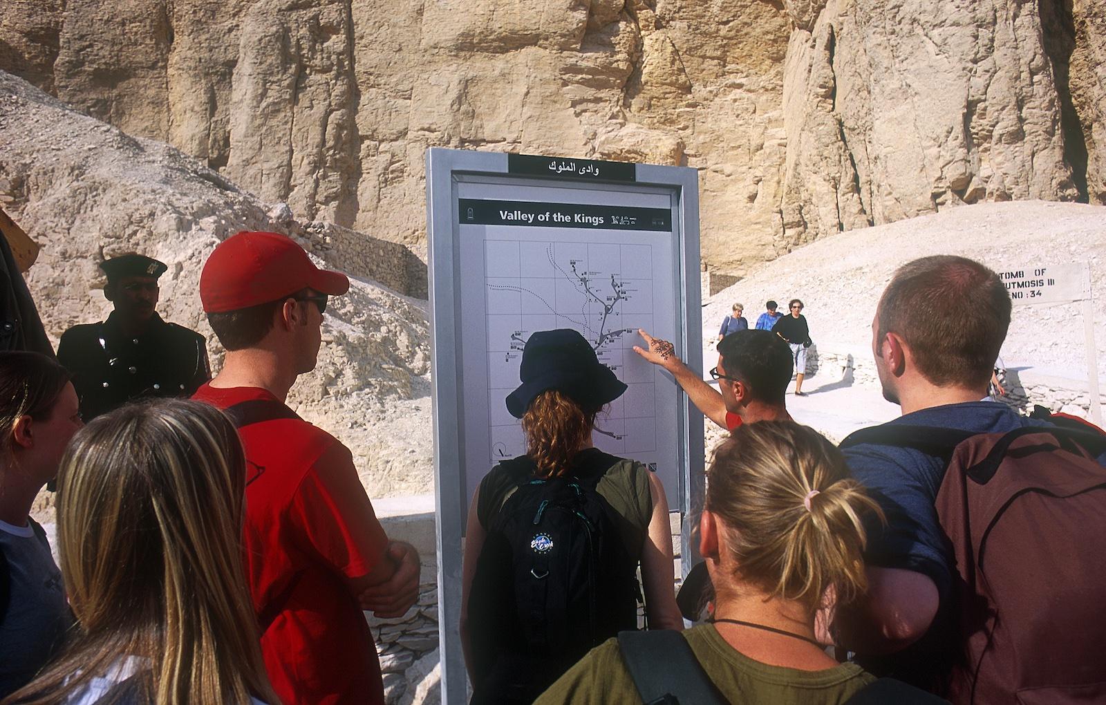
The signs were produced to the Theban Mapping Project's specifications by a Swiss company and contain text, images, and plans of the individual tombs. The signs were made with materials and processes that should make them resistant to the elements in the Valley of the Kings for a lifetime. To accompany these English language signs, which were installed in 2001, an Arabic booklet was produced.
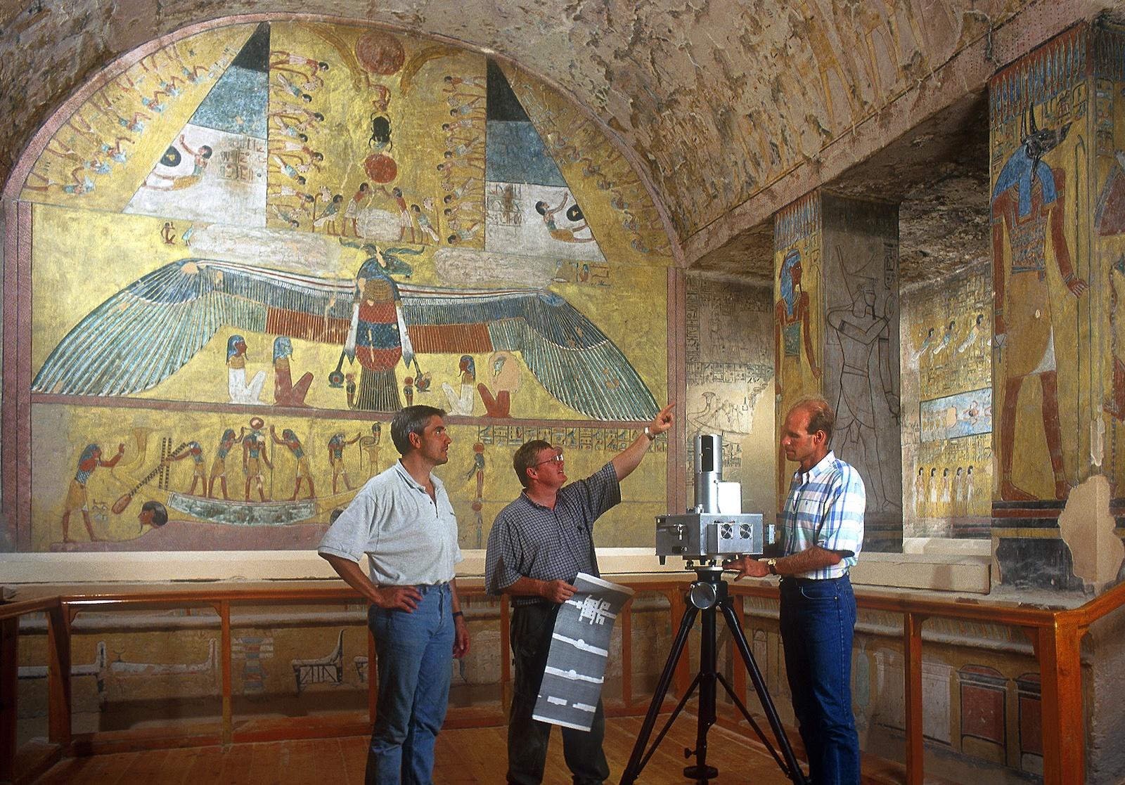
Advances in survey technology gave the Theban Mapping Project an opportunity in 2001 to work with Quantapoint, an American company, which was able to use a laser recording system to fully document KV 14. The laser recorded 125,000 measurements per second and produced detailed and highly accurate three-dimensional plans and models of KV 14’s interior, including its wall decoration.
With the launch of the Theban Mapping Project's second incarnation, thebanmappingproject.com, in 2002, the information about the Valley of the Kings gathered by the project over many years was made available to scholars and the general public. The website won many major awards for its content and design.
In 2003, a second Atlas was launched on the website, Atlas of the Theban Necropolis, consisting of a zoomable aerial photograph of the archaeological zone. This was groundbreaking for its time. Despite its immense popularity as an educational resource, the Flash-based interface succumbed to technological advancements and crashed in the mid-2000s.
While the Theban Mapping Project was no longer available online, the data remained accessible through the project team led by Dr. Weeks, who continued to document the Theban necropolis from a base at The American University in Cairo. In the summer of 2018, a deal was inked with the American Research Center in Egypt to revive the website and bring it back online.